Old Maps of Big Woods, Louisiana for Academic Research
Study the evolution of Big Woods with 12 high-resolution historic maps. Whether you're teaching, researching, or modeling changes in land use, these maps provide essential visual documentation of urban, environmental, and geographic change.
- Analyze long-term change: Track patterns in development, transportation, and natural features.
- Ideal for environmental or urban studies: Support academic projects with primary historical map data.
- Use in the classroom or lab: Educators and researchers rely on these maps to bring historical context to life.
These maps are a powerful tool for teaching, research, and visualizing how Big Woods has changed over the decades.
Big Woods, LA maps
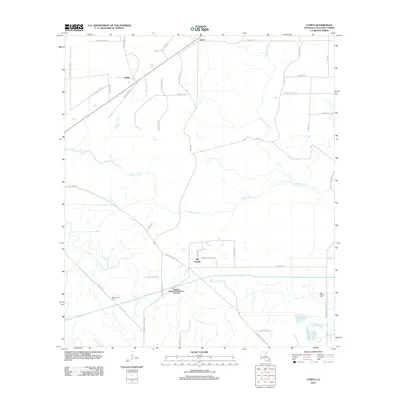
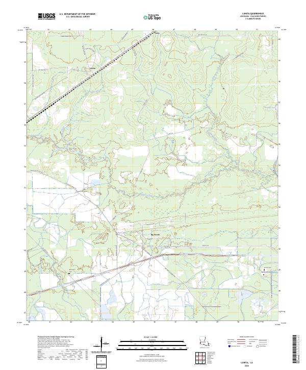
(12)- 1947 Map of Lunita
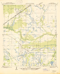 1947 Lunita1947 Print · USGSCalcasieu Parish in the late 1930s shows an economy transitioning from timber to oil extraction. You can trace early industrial footprints like the Union Sulphur Canal (Abandoned), the Edgerly Oil Field, and the Big Woods Cem.
 - 1952 Map of Lake Charles
 1952 Lake Charles1952 Print · USGSSouthwest Louisiana is captured here in the mid-fifties, showing a landscape defined by the rise of the petrochemical industry and deep-water navigation. Researchers can trace family roots through numerous small-town settlements and oil developments like Nibletts Bluff, the Lockport Oil Field, and Starks.
 - 1954 Map of Lake Charles, 1964 Print
 1954 Lake Charles1964 Print · USGSSouthwest Louisiana in the mid-fifties is defined by its massive petroleum industry and its complex network of bayous and rail lines. Researchers can trace the development of the Sulphur Mines Oil Field or locate historic settlements like Longville and De Quincy.3 unique versions available
 - 1959 Map of Starks, 1960 Print
 1959 Starks1960 Print · USGSThe Sabine River bottomlands and the emerging oil fields of Calcasieu Parish come into focus during the late fifties. Researchers can trace the river's path through Devils Pocket or locate local landmarks like Starks Cem and the North Starks Oil Field.3 unique versions available
 - 1982 Map of Lunita, 1983 Print
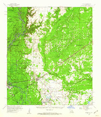
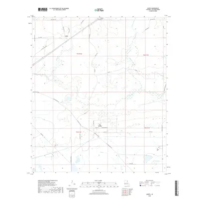
 1982 Lunita1983 Print · USGSCalcasieu Parish in the early eighties shows a transition from rural timberland to managed water systems. Genealogists can locate family landmarks like Benevolent Cemetery and the settlements of Lunita and Big Woods.
 - 1986 Map of Lake Charles
 1986 Lake Charles1986 Print · USGSThe Louisiana-Texas borderlands are captured here in the mid-1980s, showcasing the industrial growth of the Lake Charles region and its rail-linked satellite towns. Trace the evolution of coastal settlements and family landmarks from Sulphur to the Highland Cem.2 unique versions available
 - 1994 Map of Lunita, 1996 Print
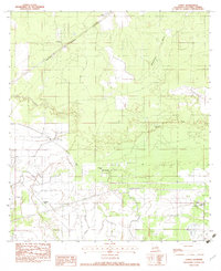
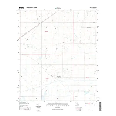
 1994 Lunita1996 Print · USGSCalcasieu Parish in the mid-nineties shows a landscape defined by significant water engineering and small rural settlements. Genealogists and local historians can locate Big Woods Cem and Benevolent Cem, or trace the massive SABINE RIVER DIVERSION SYSTEM and the course of the Houston River.
 - 2012 Map of Lunita, 2012 Print
 2012 Lunita2012 Print · USGSCovers Big Woods, including Lucas, Lunita, and other nearby areas
 - 2015 Map of Lunita, 2015 Print
 2015 Lunita2015 Print · USGSCovers Big Woods, including Lucas, Lunita, and other nearby areas
 - 2018 Map of Lunita, 2018 Print
 2018 Lunita2018 Print · USGSCovers Big Woods, including Lucas, Lunita, and other nearby areas
 - 2020 Map of Lunita, 2020 Print
 2020 Lunita2020 Print · USGSCovers Big Woods, including Lucas, Lunita, and other nearby areas
 - 2024 Map of Lunita, 2024 Print
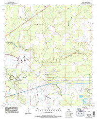
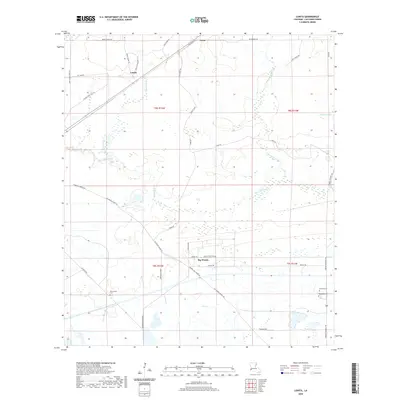
 2024 Lunita2024 Print · USGSCalcasieu Parish comes to life in this contemporary study of the Louisiana wetlands and rural settlements. Genealogists and local historians can trace family land near Big Woods and locate historic burial sites at Benevolent Cem or Antioch Cem.
End of results
Showing maps 1-12 of 12
Top cities near Big Woods
- Sulphur historical maps
- Orange historical maps
- Bridge City historical maps
- West Orange historical maps
- Vinton historical maps
- DeQuincy historical maps
See more
Frequently asked questions
- What are the different types of historical maps available for Big Woods?
- What is the oldest map of Big Woods?
- Where can I purchase historical maps of Big Woods for my home or office?
- Where can I download high-res historical maps of Big Woods?
- Are there historical topographic maps available for Big Woods?
- Is there historical aerial imagery available for Big Woods?
- Where are historical maps of Big Woods sourced from?