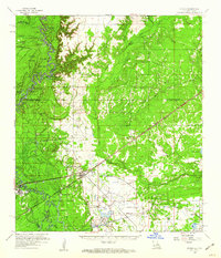
1959 Map of Starks
USGS Topo · Published 1960About this map
The Sabine River defines the western edge of this 1959 survey, winding through a complex network of bayous and oxbow lakes such as Horseshoe Lake and Alligator Lake. The landscape is a study in the transition between riverine swamplands and the industrializing piney woods of Calcasieu Parish. The community of Starks serves as a central hub, where Louisiana 12 meets the Kansas City Southern Railway. This era shows the region's heavy reliance on natural resources, evidenced by the North Starks Oil Field and scattered sulphur wells. To the east, the terrain transitions toward the Houston River drainage, marked by small settlements like Lunita and Big Woods. Genealogists will find numerous family and community landmarks, including the Starks Cem, Benevolent Cem, and Antioch Ch, alongside an Old Railroad Grade that hints at earlier timber operations.
Find a feature on this map
68 named features on this map. Tap any name to fly to it.
Don’t see what you’re looking for? This feature index may not catch every label — zoom into the map to look around manually.
Map Details
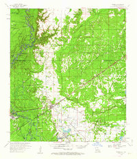
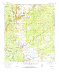
Editions of this 1959 Starks Map
3 editions found
Other maps of this area

1926 · Mauriceville
USGS Topo · 1:24,000

1932 · Orange
USGS Topo · 1:62,500

1943 · Mauriceville
USGS Topo · 1:24,000

1947 · Sulphur
USGS Topo · 1:31,680

1947 · Starks
USGS Topo · 1:31,680

1947 · Vinton
USGS Topo · 1:31,680

1947 · Toomey
USGS Topo · 1:31,680

1947 · Carter Creek
USGS Topo · 1:31,680

1947 · DeQuincy
USGS Topo · 1:31,680

1947 · Sulphur Mines
USGS Topo · 1:31,680