Old Maps of Hayes, Louisiana for Genealogy
Trace your family roots with 12 historic maps of Hayes. These high-res maps reveal old neighborhoods, homesites, landmarks, and streets — helping you uncover where your ancestors lived and how the area evolved over time.
- Explore historic neighborhoods: Identify where your relatives may have lived in the 1800s or 1900s.
- Compare maps over time: Trace the changes in streets, buildings, and landmarks for multi-generational research.
- Perfect for genealogy & ancestry research: Used by family historians and researchers to map out lineage and migration.
These maps are an incredible resource for exploring your personal connection to Hayes's past.
Hayes, LA maps
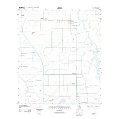
(12)- 1946 Map of Hayes
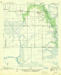 1946 Hayes1946 Print · USGSCoastal prairie and marshlands meet along the Calcasieu-Jefferson Davis Parish line just after the war. Local researchers can trace the intricate network of the Morgan Canal, the Southern Pacific rail line, and the location of the Hayes Sch.
 - 1949 Map of Hayes
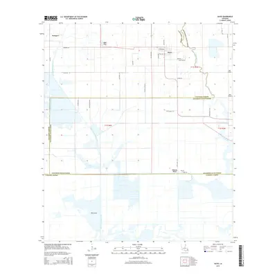
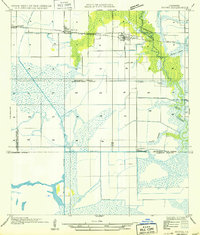 1949 Hayes1949 Print · USGSCalcasieu and Jefferson Davis Parishes are shown during a period of agricultural expansion and marshland management in the late nineteen-forties. Researchers can trace the rail-and-water economy through features like the Southern Pacific line, the Hayes Sch, and the Illinois Plant.
 - 1952 Map of Lake Charles
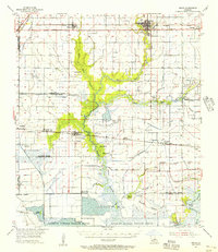
 1952 Lake Charles1952 Print · USGSSouthwest Louisiana is captured here in the mid-fifties, showing a landscape defined by the rise of the petrochemical industry and deep-water navigation. Researchers can trace family roots through numerous small-town settlements and oil developments like Nibletts Bluff, the Lockport Oil Field, and Starks.
 - 1954 Map of Lake Charles, 1964 Print
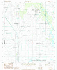
 1954 Lake Charles1964 Print · USGSSouthwest Louisiana in the mid-fifties is defined by its massive petroleum industry and its complex network of bayous and rail lines. Researchers can trace the development of the Sulphur Mines Oil Field or locate historic settlements like Longville and De Quincy.3 unique versions available
 - 1955 Map of Welsh, 1956 Print
 1955 Welsh1956 Print · USGSCoastal Louisiana prairie and marshlands meet in the mid-fifties, showing the agricultural and industrial landscape of Jefferson Davis Parish. Trace family roots at Broussard Cem or follow the old Southern Pacific line through Lacassine and Welsh.4 unique versions available
 - 1984 Map of Hayes, 1985 Print
 1984 Hayes1985 Print · USGSCoastal prairie and marshlands meet in the 1980s at the junction of Calcasieu, Jefferson Davis, and Cameron Parishes. Researchers can trace the industrial footprint of the Illinois Plant and the protected lands of the Lacassine National Wildlife Refuge.2 unique versions available
 - 1985 Map of Crowley, 1986 Print
 1985 Crowley1986 Print · USGSCoastal prairie and bayou country are captured in the mid-eighties as the rice-and-rail economy defined South Louisiana life. Genealogists and researchers can trace family lands and rural hubs from Crowley to Jennings, following the paths of the Southern Pacific Railroad and the winding Mermentau River.2 unique versions available
 - 2012 Map of Hayes, 2012 Print
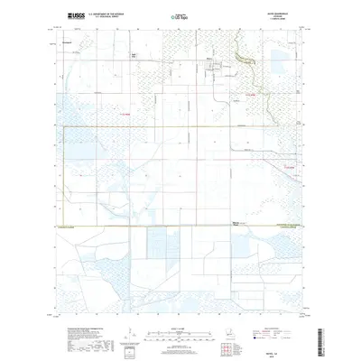
 2012 Hayes2012 Print · USGSCovers Hayes, including Rossignol, Bell City, and other nearby areas
 - 2015 Map of Hayes, 2015 Print
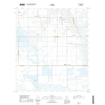
 2015 Hayes2015 Print · USGSCovers Hayes, including Rossignol, Bell City, and other nearby areas
 - 2018 Map of Hayes, 2018 Print
 2018 Hayes2018 Print · USGSCovers Hayes, including Rossignol, Bell City, and other nearby areas
 - 2020 Map of Hayes, 2020 Print
 2020 Hayes2020 Print · USGSCovers Hayes, including Rossignol, Bell City, and other nearby areas
 - 2024 Map of Hayes, 2024 Print
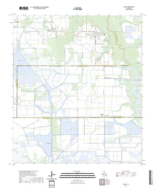 2024 Hayes2024 Print · USGSCoastal prairie and marshlands meet in this recent survey of the Southwest Louisiana interior. Genealogists and local historians can trace the streets of Hayes and Bell City, find family burial sites at Hayes Cem, and explore the reaches of Bayou Lacassine.
End of results
Showing maps 1-12 of 12
Top cities near Hayes
Frequently asked questions
- What are the different types of historical maps available for Hayes?
- What is the oldest map of Hayes?
- Where can I purchase historical maps of Hayes for my home or office?
- Where can I download high-res historical maps of Hayes?
- Are there historical topographic maps available for Hayes?
- Is there historical aerial imagery available for Hayes?
- Where are historical maps of Hayes sourced from?