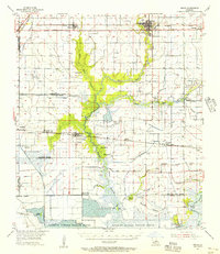
1955 Map of Welsh
USGS Topo · Published 1956About this map
Welsh and Roanoke anchor the northern corridor of this mid-century survey, where the Southern Pacific railroad parallels the main highway through the coastal prairie. The landscape is defined by an intricate network of irrigation and transport canals, including the Indian Bayou Canal and Spoil Bank Canal, supporting the region's agricultural and industrial base. To the south, the terrain transitions into the wetlands of the Lacassine National Wildlife Refuge, featuring named high ground such as Oak Island and Pine Island amidst the Willow Marsh.
Find a feature on this map
50 named features on this map. Tap any name to fly to it.
Don’t see what you’re looking for? This feature index may not catch every label — zoom into the map to look around manually.
Map Details
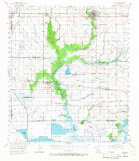
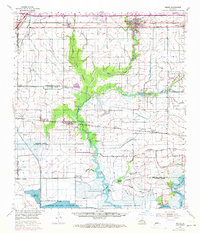
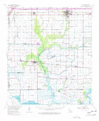
Editions of this 1955 Welsh Map
4 editions found
Other maps of this area

1932 · Lake Charles NE
USGS Topo · 1:31,680

1932 · Lake Charles SE
USGS Topo · 1:31,680

1934 · Lake Misere
USGS Topo · 1:24,000

1934 · Boudreaux Lake
USGS Topo · 1:24,000

1934 · Latania Lake
USGS Topo · 1:24,000

1935 · Lake Misere
USGS Topo · 1:31,680

1935 · Latania Lake
USGS Topo · 1:31,680

1935 · Boudreaux Lake
USGS Topo · 1:31,680

1942 · Lake Charles
USGS Topo · 1:62,500

1946 · Lacassine
USGS Topo · 1:31,680