Old Maps of Lake Charles, Louisiana
Explore 23 old maps of Lake Charles, spanning from 1932 to today. These high-resolution historic maps reveal how streets, neighborhoods, landmarks, and natural features evolved over time — perfect for genealogy, metal detecting, research, and local history exploration.
What you can do with these maps:
- See how Lake Charles changed over time: Compare historical maps to modern-day views to trace roads, homesites, rail lines & more.
- View detailed metadata: Each map includes creators, publishers, year, scale, and archive source.
- Overlay maps with satellite & LiDAR: Visualize the past alongside modern tools to explore terrain & human change.
- Trusted historical sources: Maps sourced from the USGS, Library of Congress, and other archives.
- Access maps your way: View online, download high-res files, or order prints for personal or research use.
Start exploring old maps of Lake Charles to uncover forgotten places, hidden landmarks, and the deep history beneath your feet.
Lake Charles, LA maps
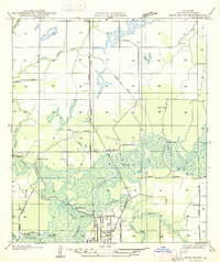
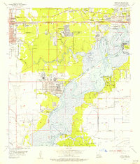
(23)- 1932 Map of Moss Lake
 1932 Moss Lake1932 Print · USGSCovers Lake Charles, including Burton Landing, Hackberry, and other nearby areas
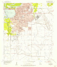
 - 1932 Map of Lake Charles NW
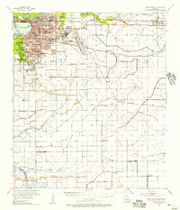
 1932 Lake Charles NW1932 Print · USGSCovers Lake Charles, including Westlake, Pine Acres Trailer Park, and other nearby areas
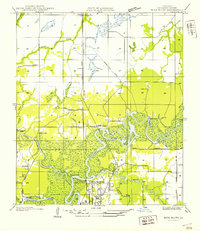
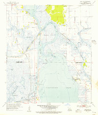
 - 1935 Map of Moss Bluff
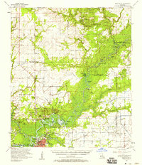
 1935 Moss Bluff1935 Print · USGSCovers Lake Charles, including Westlake, Goss, and other nearby areas
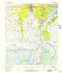
 - 1942 Map of Lake Charles
 1942 Lake Charles1942 Print · USGSCovers Lake Charles, including Westlake, Iowa, and other nearby areas
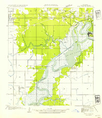
 - 1946 Map of Moss Lake
 1946 Moss Lake1946 Print · USGSCovers Lake Charles, including Burton Landing, Hackberry, and other nearby areas
 - 1947 Map of Moss Bluff
 1947 Moss Bluff1947 Print · USGSCovers Lake Charles, including Westlake, Goss, and other nearby areas
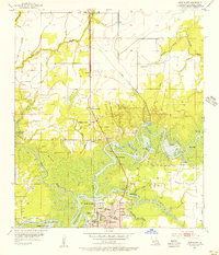
 - 1947 Map of West Lake
 1947 West Lake1947 Print · USGSCovers Lake Charles, including Sulphur, Westlake, and other nearby areas
 - 1952 Map of Lake Charles
 1952 Lake Charles1952 Print · USGSCovers Lake Charles, including Lafayette, Port Arthur, and other nearby areas
 - 1954 Map of West Lake
 1954 West Lake1954 Print · USGSCovers Lake Charles, including Sulphur, Westlake, and other nearby areas
 - 1954 Map of Lake Charles, 1964 Print
 1954 Lake Charles1964 Print · USGSCovers Lake Charles, including Lafayette, Port Arthur, and other nearby areas3 unique versions available
 - 1955 Map of Moss Bluff, 1956 Print
 1955 Moss Bluff1956 Print · USGSCovers Lake Charles, including Westlake, Goss, and other nearby areas4 unique versions available
 - 1955 Map of Westlake, 1956 Print
 1955 Westlake1956 Print · USGSCovers Lake Charles, including Sulphur, Westlake, and other nearby areas4 unique versions available
 - 1955 Map of Lake Charles, 1956 Print
 1955 Lake Charles1956 Print · USGSCovers Lake Charles, including Westlake, Pine Acres Trailer Park, and other nearby areas4 unique versions available
 - 1955 Map of Moss Lake, 1956 Print
 1955 Moss Lake1956 Print · USGSCovers Lake Charles, including Burton Landing, Hackberry, and other nearby areas3 unique versions available
 - 1955 Map of Sulphur, 1956 Print
 1955 Sulphur1956 Print · USGSCovers Lake Charles, including Sulphur, Westlake, and other nearby areas3 unique versions available
 - 1955 Map of Lake Charles, 1956 Print
 1955 Lake Charles1956 Print · USGSCovers Lake Charles, including Westlake, Iowa, and other nearby areas3 unique versions available
 - 1957 Map of Moss Bluff, 1958 Print
 1957 Moss Bluff1958 Print · USGSCovers Lake Charles, including Westlake, Iowa, and other nearby areas3 unique versions available
 - 1986 Map of Lake Charles
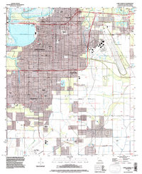
 1986 Lake Charles1986 Print · USGSCovers Lake Charles, including Port Arthur, Sulphur, and other nearby areas2 unique versions available
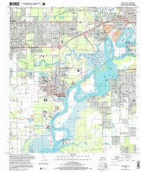
 - 1994 Map of Lake Charles, 1996 Print
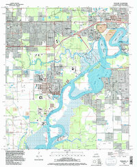
 1994 Lake Charles1996 Print · USGSCovers Lake Charles, including Westlake, Pine Acres Trailer Park, and other nearby areas
 - 1994 Map of Westlake, 1996 Print
 1994 Westlake1996 Print · USGSCovers Lake Charles, including Sulphur, Westlake, and other nearby areas
 - 1994 Map of Moss Bluff, 1996 Print
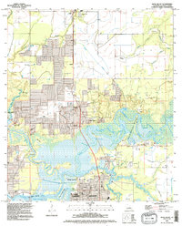 1994 Moss Bluff1996 Print · USGSCovers Lake Charles, including Westlake, Goss, and other nearby areas
 - 1994 Map of Moss Lake, 1996 Print
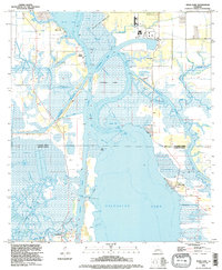 1994 Moss Lake1996 Print · USGSCovers Lake Charles, including Burton Landing, Hackberry, and other nearby areas
 - 1996 Map of Westlake, 1999 Print
 1996 Westlake1999 Print · USGSCovers Lake Charles, including Sulphur, Westlake, and other nearby areas
End of results
Showing maps 1-23 of 23
Top cities near Lake Charles
Top neighborhoods of Lake Charles
- Goosport historical maps
- Greinwich Village historical maps
- Pine Acres Trailer Park historical maps
- University Place historical maps
- The Ihles Townhomes historical maps
Frequently asked questions
- What are the different types of historical maps available for Lake Charles?
- What is the oldest map of Lake Charles?
- Where can I purchase historical maps of Lake Charles for my home or office?
- Where can I download high-res historical maps of Lake Charles?
- Are there historical topographic maps available for Lake Charles?
- Is there historical aerial imagery available for Lake Charles?
- Where are historical maps of Lake Charles sourced from?