Old Maps of Colquitt, Louisiana for Metal Detecting
Plan your next treasure hunt with 12 historic maps of Colquitt. Find old homesites, ghost towns, trails, and gathering spots that may be lost to time — perfect for identifying promising metal detecting locations.
- Locate forgotten sites: Uncover places like long-lost settlements, abandoned rail lines, or gathering spots.
- Plan better hunts: Use map overlays combined with LiDAR or satellite views to narrow in on historically rich areas.
- Made for detectorists: Thousands of hobbyists use these maps to discover relics, coins, and hidden history.
Use these historic maps to boost your research and find new opportunities beneath the surface of Colquitt.
Colquitt, LA maps
(12)- 1951 Map of Summerfield, 1952 Print
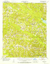 1951 Summerfield1952 Print · USGSClaiborne Parish in the early fifties is a landscape of rural crossroads and growing industry. Genealogists can locate family landmarks like Aycock Cem or Sharon Sch, and trace the development of settlements from Lisbon to the Gas Refinery near the parish line.5 unique versions available
 - 1955 Map of Shreveport
 1955 Shreveport1955 Print · USGSNorthern Louisiana in the mid-fifties is captured here as a landscape of military bases, vast oil fields, and burgeoning college towns. Genealogists and historians can trace the rail-and-river economy through the Monroe Gas Field, Grambling College, and Barksdale Air Force Base.3 unique versions available
 - 1956 Map of Shreveport
 1956 Shreveport1956 Print · USGSNorthern Louisiana during the mid-fifties presents a complex landscape of booming oil fields and strategic military installations. Genealogists and historians can trace the infrastructure of the Monroe Gas Field and family-named locales from Cotton Valley to Jonesboro.
 - 1984 Map of Shreveport
 1984 Shreveport1984 Print · USGSNorthern Louisiana at the peak of the 1980s reveals a landscape of massive water management projects and Cold War military hubs. Trace the rail lines of the Kansas City Southern Ry past Barksdale Air Force Base and the high ground of Driskill Mountain.2 unique versions available
 - 1985 Map of Monroe North, 1986 Print
 1985 Monroe North1986 Print · USGSNorth-central Louisiana in the mid-eighties was a landscape defined by the growth of university towns and the expansion of the natural gas industry. Researchers can trace rural family roots through landmarks like Lisbon Cem, New Hope Ch, and the many schools in Farmerville or Bernice.2 unique versions available
 - 1986 Map of Colquitt
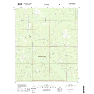
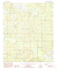 1986 Colquitt1986 Print · USGSThe rural landscape of Claiborne Parish in the mid-eighties is defined by the dense timberlands of the Kisatchie National Forest and the winding Middle Fork Bayou D'Arbonne. Researchers can trace the layout of the Colquitt settlement, local pipelines, and family sites near Lick Creek or the local Cem.
 - 2003 Map of Colquitt, 2005 Print
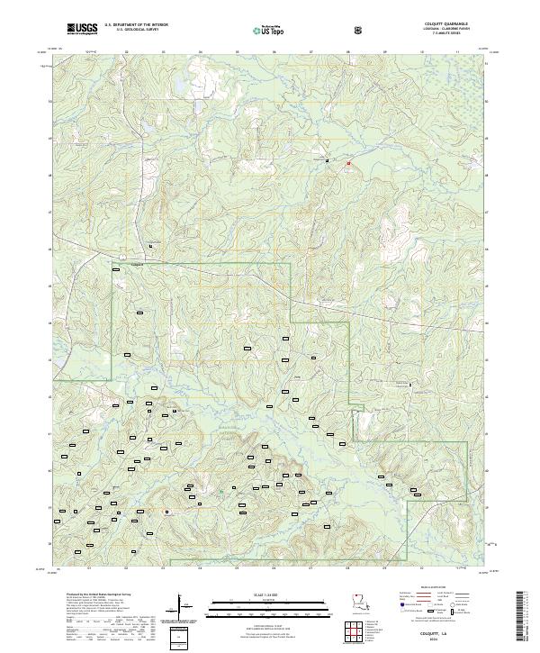
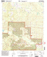 2003 Colquitt2005 Print · USGSClaiborne Parish at the start of the twenty-first century shows a landscape where timber and industry meet. Researchers can trace the boundaries of the Kisatchie National Forest or locate early sites like Colquitt and local cemeteries.
 - 2012 Map of Colquitt, 2012 Print
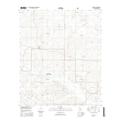
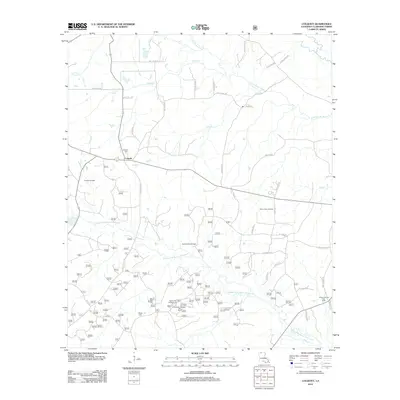 2012 Colquitt2012 Print · USGSCovers Colquitt, including Claiborne Parish, United States, and other nearby areas
 - 2015 Map of Colquitt, 2015 Print
 2015 Colquitt2015 Print · USGSCovers Colquitt, including Claiborne Parish, United States, and other nearby areas
 - 2018 Map of Colquitt, 2018 Print
 2018 Colquitt2018 Print · USGSCovers Colquitt, including Claiborne Parish, United States, and other nearby areas
 - 2020 Map of Colquitt, 2020 Print
 2020 Colquitt2020 Print · USGSCovers Colquitt, including Claiborne Parish, United States, and other nearby areas
 - 2024 Map of Colquitt, 2024 Print
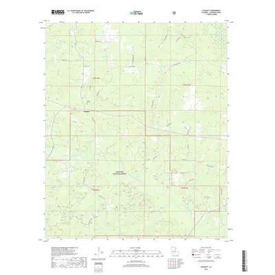
 2024 Colquitt2024 Print · USGSThe rural uplands of Claiborne Parish are captured in the mid-2020s, showcasing the intersection of federal forest land and historic settlements. Researchers can trace the local road networks surrounding Colquitt and the various drainage basins of Lick Creek.
End of results
Showing maps 1-12 of 12
Top cities near Colquitt
Frequently asked questions
- What are the different types of historical maps available for Colquitt?
- What is the oldest map of Colquitt?
- Where can I purchase historical maps of Colquitt for my home or office?
- Where can I download high-res historical maps of Colquitt?
- Are there historical topographic maps available for Colquitt?
- Is there historical aerial imagery available for Colquitt?
- Where are historical maps of Colquitt sourced from?