2020s Maps of Concordia Parish, Louisiana
Explore 48 historic maps of Concordia Parish from the 2020s. These maps offer a rare glimpse into what life looked like during the 2020s — showing old roads, neighborhoods, homes, and landmarks that have changed or disappeared over time.
Whether you're researching your family's past, planning a metal detecting trip, or studying how Concordia Parish's landscape evolved across the 2020s, these high-resolution maps are a powerful tool for exploring the history of this region.
- Focus on a specific era: All maps on this page are from the 2020s, giving you a focused view of this time period.
- See what’s changed: Compare century-old streets, trails, and buildings to today's modern landscape using overlays and satellite layers.
- Research with precision: Use these maps for genealogy, historical research, land use analysis, or educational projects.
- View, download, or print: Maps are fully viewable online in high resolution, and can be downloaded or printed for your own records.
Start exploring Concordia Parish's history through authentic maps from the 2020s. This is your window into the past.
Concordia Parish, LA maps
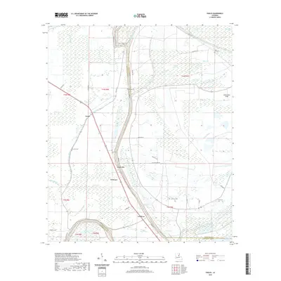
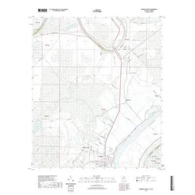
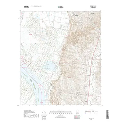
(48)- 2020 Map of Deer Park, 2020 Print
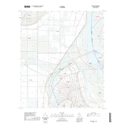 2020 Deer Park2020 Print · USGSCovers Concordia Parish, including Deer Park, Adams County, and other nearby areas
 - 2020 Map of Spokane, 2020 Print
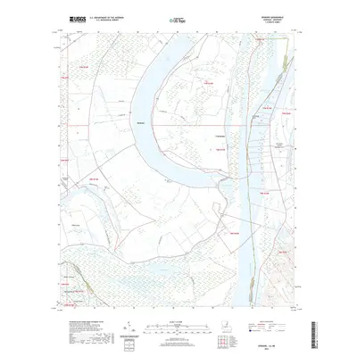 2020 Spokane2020 Print · USGSCovers Concordia Parish, including Gibson Landing, Bullitt Bayou, and other nearby areas
 - 2020 Map of Jonesville South, 2020 Print
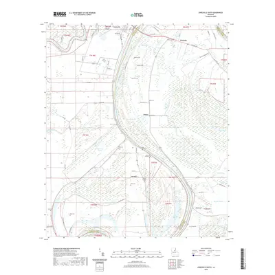 2020 Jonesville South2020 Print · USGSCovers Concordia Parish, including Jonesville, Omega, and other nearby areas
 - 2020 Map of Acme, 2020 Print
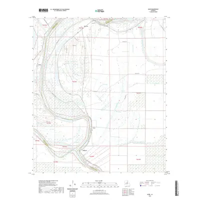 2020 Acme2020 Print · USGSCovers Concordia Parish, including Book, Delhoste, and other nearby areas
 - 2020 Map of Monterey, 2020 Print
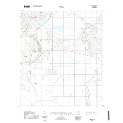 2020 Monterey2020 Print · USGSCovers Concordia Parish, including Monterey, Catahoula Parish, and other nearby areas
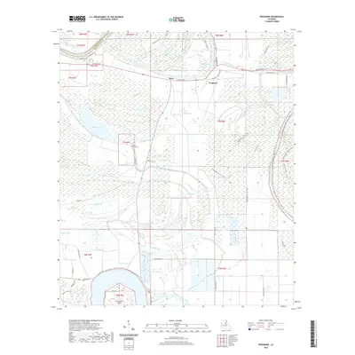
 - 2020 Map of Mayna, 2020 Print
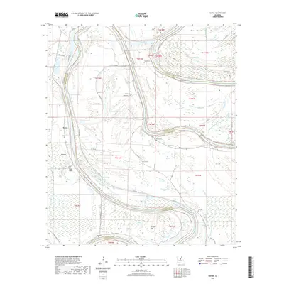 2020 Mayna2020 Print · USGSCovers Concordia Parish, including Armagh, Mayna, and other nearby areas
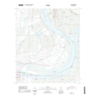
 - 2020 Map of Turnbull Island, 2020 Print
 2020 Turnbull Island2020 Print · USGSCovers Concordia Parish, including Merrick, Avoyelles Parish, and other nearby areas
 - 2020 Map of Lower Sunk Lake, 2020 Print
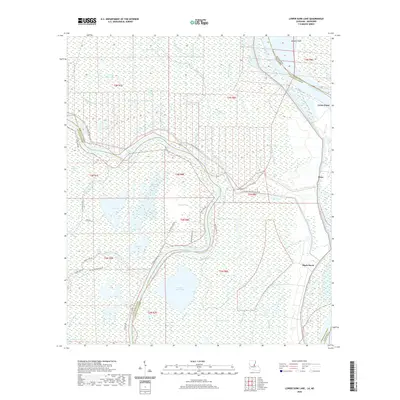 2020 Lower Sunk Lake2020 Print · USGSCovers Concordia Parish, including Union Point, Black Hawk, and other nearby areas
 - 2020 Map of Slocum, 2020 Print
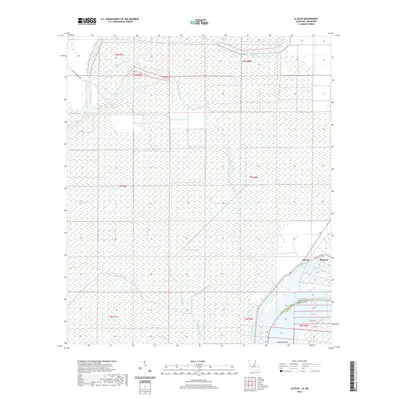 2020 Slocum2020 Print · USGSCovers Concordia Parish, including Bougere, Slocum, and other nearby areas
 - 2020 Map of Ferriday South, 2020 Print
 2020 Ferriday South2020 Print · USGSCovers Concordia Parish, including Ferriday, Ridgecrest, and other nearby areas
 - 2020 Map of Waterproof, 2020 Print
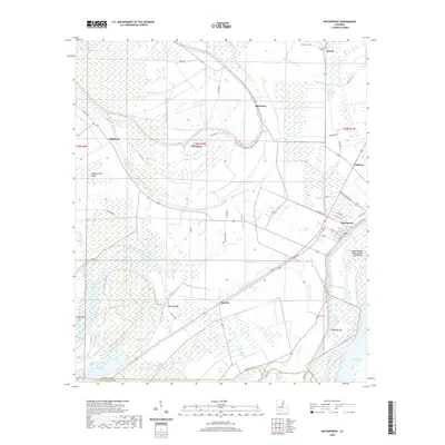 2020 Waterproof2020 Print · USGSCovers Concordia Parish, including Waterproof, Troy, and other nearby areas
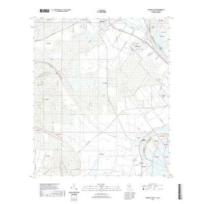
 - 2020 Map of Fairview, 2020 Print
 2020 Fairview2020 Print · USGSCovers Concordia Parish, including Arnot, Crosby, and other nearby areas
 - 2020 Map of Jonesville North, 2020 Print
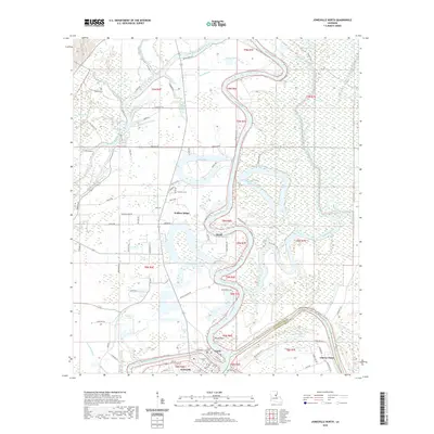 2020 Jonesville North2020 Print · USGSCovers Concordia Parish, including Jonesville, Wallace Ridge, and other nearby areas
 - 2020 Map of Foules, 2020 Print
 2020 Foules2020 Print · USGSCovers Concordia Parish, including Eltringham Landing, Foules, and other nearby areas
 - 2020 Map of Ile Natchitoches, 2020 Print
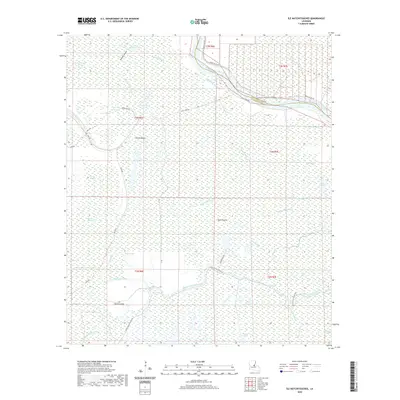 2020 Ile Natchitoches2020 Print · USGSCovers Concordia Parish, including Avoyelles Parish, United States, and other nearby areas
 - 2020 Map of Innis, 2020 Print
 2020 Innis2020 Print · USGSCovers Concordia Parish, including Red River Landing, Angola Landing, and other nearby areas
 - 2020 Map of Dunbarton, 2020 Print
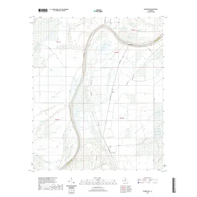 2020 Dunbarton2020 Print · USGSCovers Concordia Parish, including Ballina, Dunbarton, and other nearby areas
 - 2020 Map of Ferriday North, 2020 Print
 2020 Ferriday North2020 Print · USGSCovers Concordia Parish, including Ferriday, Clayton, and other nearby areas
 - 2020 Map of Frogmore, 2020 Print
 2020 Frogmore2020 Print · USGSCovers Concordia Parish, including Elkhorn, Athlone, and other nearby areas
 - 2020 Map of Sibley, 2020 Print
 2020 Sibley2020 Print · USGSCovers Concordia Parish, including Sibley, Hutchins Landing, and other nearby areas
 - 2020 Map of Lake Mary, 2020 Print
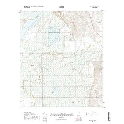
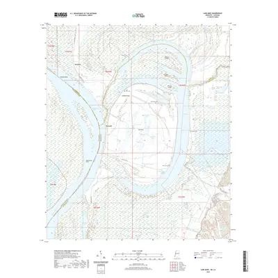 2020 Lake Mary2020 Print · USGSCovers Concordia Parish, including Loch Leven, Kienstra, and other nearby areas
 - 2020 Map of Fort Adams, 2020 Print
 2020 Fort Adams2020 Print · USGSCovers Concordia Parish, including Fort Adams, Point Breeze, and other nearby areas
 - 2020 Map of Buck Island, 2020 Print
 2020 Buck Island2020 Print · USGSCovers Concordia Parish, including Adams County, Wilkinson County, and other nearby areas
 - 2020 Map of Natchez, 2020 Print
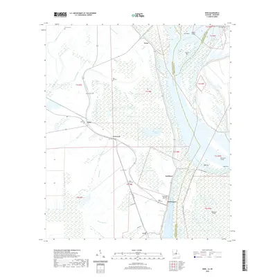
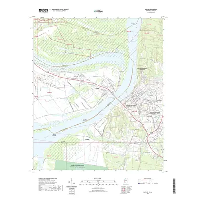 2020 Natchez2020 Print · USGSCovers Concordia Parish, including Natchez, Vidalia, and other nearby areas
 - 2024 Map of Buck Island, 2024 Print
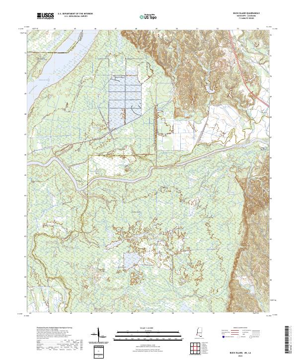 2024 Buck Island2024 Print · USGSThe wetlands of the Mississippi and Louisiana border come alive in this recent survey of the river's shifting reach. Local researchers can trace old river channels and plantation roads like Buckhurst Plantation Rd, Glasscock Cutoff, and Tansey Island.
Showing maps 1-25 of 48
Top cities of Concordia Parish
Frequently asked questions
- What are the different types of historical maps available for Concordia Parish?
- What is the oldest map of Concordia Parish?
- Where can I purchase historical maps of Concordia Parish for my home or office?
- Where can I download high-res historical maps of Concordia Parish?
- Are there historical topographic maps available for Concordia Parish?
- Is there historical aerial imagery available for Concordia Parish?
- Where are historical maps of Concordia Parish sourced from?