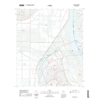
2020 Map of Deer Park
USGS Topo · Published 2020About this map
Deer Park occupies a precarious position along a deep loop of the Mississippi River where the Concordia Parish line meets the Mississippi state border. This riverine landscape is defined by its complex hydrology, featuring abandoned channels and backwaters such as Old River and Briars Chute. To the north, Bayou Cocodrie and the Mississippi Bayou drain the alluvial lowlands, while Wallace Lake and Little Wallace Lake remain as significant water bodies in the flood-prone interior. The terrain is marked by dynamic river features like Glasscock Island and Saint Catherine Towhead, which illustrate the shifting nature of the river's path over time. A network of local roads including Deer Park Rd and Frog Pond Rd provides access to the scattered homes and agricultural fields that characterize this rural corner of Louisiana.
Find a feature on this map
38 named features on this map. Tap any name to fly to it.
Don’t see what you’re looking for? This feature index may not catch every label — zoom into the map to look around manually.
Map Details
Editions of this 2020 Deer Park Map
This is the sole edition of this map. No revisions or reprints were ever made.
Other maps of this area

1909 · Sycamore Landing
USGS Topo · 1:24,000

1909 · Vidalia
USGS Topo · 1:24,000

1921 · Natchez
USGS Topo · 1:48,000

1922 · Natchez
USGS Topo · 1:62,500

1939 · Red Gum
USGS Topo · 1:62,500

1939 · Natchez
USGS Topo · 1:62,500

1939 · Kingston
USGS Topo · 1:62,500

1939 · Deer Park
USGS Topo · 1:62,500

1953 · Natchez
USGS Topo · 1:250,000

1956 · Natchez
USGS Topo · 1:250,000