Old Maps of East Baton Rouge Parish, Louisiana for Hiking & Exploration
Hike through history with 85 historic maps of East Baton Rouge Parish. Explore old trails, ghost towns, and forgotten backroads — perfect for outdoor adventurers and local explorers.
- Rediscover forgotten places: Map out old mining camps, roads, and footpaths that no longer exist on modern maps.
- Layer with modern tools: Combine with LiDAR or satellite views to plan hikes through historical terrain.
- Made for exploration: Popular among hikers, overlanders, and local history lovers.
Use these maps to find adventure and explore the hidden past of East Baton Rouge Parish.
East Baton Rouge Parish, LA maps
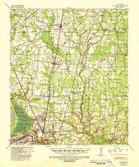
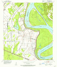
(85)- 1906 Map of Bayou Sara
 1906 Bayou Sara1906 Print · USGSCovers East Baton Rouge Parish, including Baton Rouge, Central, and other nearby areas3 unique versions available
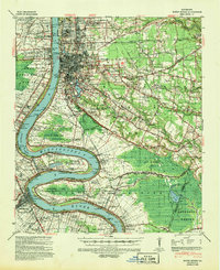
 - 1908 Map of Baton Rouge, 1921 Print
 1908 Baton Rouge1921 Print · USGSCovers East Baton Rouge Parish, including Baton Rouge, St. George, and other nearby areas2 unique versions available
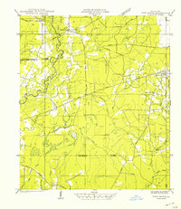
 - 1934 Map of Denham Springs
 1934 Denham Springs1934 Print · USGSCovers East Baton Rouge Parish, including Baton Rouge, St. George, and other nearby areas2 unique versions available
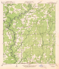
 - 1939 Map of Zachary, 1941 Print
 1939 Zachary1941 Print · USGSCovers East Baton Rouge Parish, including Baton Rouge, Central, and other nearby areas2 unique versions available
 - 1939 Map of Denham Springs, 1942 Print
 1939 Denham Springs1942 Print · USGSCovers East Baton Rouge Parish, including Baton Rouge, St. George, and other nearby areas2 unique versions available
 - 1939 Map of Baton Rouge, 1947 Print
 1939 Baton Rouge1947 Print · USGSCovers East Baton Rouge Parish, including Baton Rouge, St. George, and other nearby areas4 unique versions available
 - 1942 Map of Pine Grove
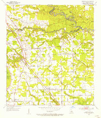
 1942 Pine Grove1942 Print · USGSCovers East Baton Rouge Parish, including Oldfield, Grangeville, and other nearby areas
 - 1942 Map of Pride
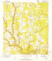
 1942 Pride1942 Print · USGSCovers East Baton Rouge Parish, including Oaknolia, Reiley, and other nearby areas
 - 1942 Map of Watson
 1942 Watson1942 Print · USGSCovers East Baton Rouge Parish, including Central, Denham Springs, and other nearby areas
 - 1953 Map of Baton Rouge West, 1954 Print
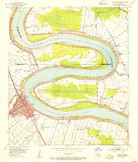
 1953 Baton Rouge West1954 Print · USGSCovers East Baton Rouge Parish, including Baton Rouge, Port Allen, and other nearby areas
 - 1953 Map of Plaquemine, 1954 Print
 1953 Plaquemine1954 Print · USGSCovers East Baton Rouge Parish, including Baton Rouge, St. George, and other nearby areas
 - 1953 Map of St. Gabriel, 1954 Print
 1953 St. Gabriel1954 Print · USGSCovers East Baton Rouge Parish, including Baton Rouge, St. George, and other nearby areas
 - 1953 Map of Baton Rouge East, 1954 Print
 1953 Baton Rouge East1954 Print · USGSCovers East Baton Rouge Parish, including Baton Rouge, St. George, and other nearby areas
 - 1953 Map of Prairieville, 1954 Print
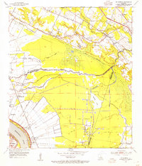
 1953 Prairieville1954 Print · USGSCovers East Baton Rouge Parish, including St. George, Prairieville, and other nearby areas
 - 1953 Map of Comite, 1954 Print
 1953 Comite1954 Print · USGSCovers East Baton Rouge Parish, including Baton Rouge, Central, and other nearby areas2 unique versions available
 - 1953 Map of Denham Springs, 1954 Print
 1953 Denham Springs1954 Print · USGSCovers East Baton Rouge Parish, including Baton Rouge, St. George, and other nearby areas2 unique versions available
 - 1954 Map of Watson, 1955 Print
 1954 Watson1955 Print · USGSCovers East Baton Rouge Parish, including Central, Denham Springs, and other nearby areas2 unique versions available
 - 1954 Map of Pride, 1955 Print
 1954 Pride1955 Print · USGSCovers East Baton Rouge Parish, including Oaknolia, Reiley, and other nearby areas2 unique versions available
 - 1954 Map of Zachary, 1955 Print
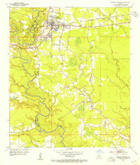
 1954 Zachary1955 Print · USGSCovers East Baton Rouge Parish, including Zachary, Slaughter, and other nearby areas
 - 1954 Map of Port Hudson, 1955 Print
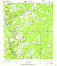
 1954 Port Hudson1955 Print · USGSCovers East Baton Rouge Parish, including Waterloo, Riddle, and other nearby areas
 - 1954 Map of Walls, 1955 Print
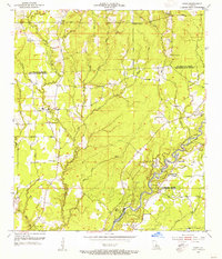
 1954 Walls1955 Print · USGSCovers East Baton Rouge Parish, including Smithfield, Alfords, and other nearby areas
 - 1954 Map of Fred, 1955 Print
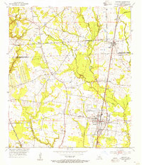
 1954 Fred1955 Print · USGSCovers East Baton Rouge Parish, including Central, Zachary, and other nearby areas
 - 1954 Map of Scotlandville, 1955 Print
 1954 Scotlandville1955 Print · USGSCovers East Baton Rouge Parish, including Baton Rouge, Baker, and other nearby areas
 - 1954 Map of Baton Rouge, 1974 Print
 1954 Baton Rouge1974 Print · USGSCovers East Baton Rouge Parish, including New Orleans, Baton Rouge, and other nearby areas2 unique versions available
 - 1956 Map of Baton Rouge
 1956 Baton Rouge1956 Print · USGSCovers East Baton Rouge Parish, including New Orleans, Baton Rouge, and other nearby areas
Showing maps 1-25 of 85
Top cities of East Baton Rouge Parish
- Baton Rouge historical maps
- St. George historical maps
- Central historical maps
- Baker historical maps
- Zachary historical maps
Frequently asked questions
- What are the different types of historical maps available for East Baton Rouge Parish?
- What is the oldest map of East Baton Rouge Parish?
- Where can I purchase historical maps of East Baton Rouge Parish for my home or office?
- Where can I download high-res historical maps of East Baton Rouge Parish?
- Are there historical topographic maps available for East Baton Rouge Parish?
- Is there historical aerial imagery available for East Baton Rouge Parish?
- Where are historical maps of East Baton Rouge Parish sourced from?