1960s Maps of St. George, Louisiana
Explore 11 historic maps of St. George from the 1960s. These maps offer a rare glimpse into what life looked like during the 1960s — showing old roads, neighborhoods, homes, and landmarks that have changed or disappeared over time.
Whether you're researching your family's past, planning a metal detecting trip, or studying how St. George's landscape evolved across the 1960s, these high-resolution maps are a powerful tool for exploring the history of this region.
- Focus on a specific era: All maps on this page are from the 1960s, giving you a focused view of this time period.
- See what’s changed: Compare century-old streets, trails, and buildings to today's modern landscape using overlays and satellite layers.
- Research with precision: Use these maps for genealogy, historical research, land use analysis, or educational projects.
- View, download, or print: Maps are fully viewable online in high resolution, and can be downloaded or printed for your own records.
Start exploring St. George's history through authentic maps from the 1960s. This is your window into the past.
St. George, LA maps
(11)- 1961 Map of Baton Rouge, 1966 Print
 1961 Baton Rouge1966 Print · USGSSoutheastern Louisiana in the early sixties remains a landscape of deep river bends and sprawling coastal lakes. Genealogists and historians can trace the rail-and-river economy through landmarks like Free-Nigger Point, Donaldsonville, and the Illinois Central Railroad.
 - 1962 Map of Baton Rouge
 1962 Baton Rouge1962 Print · USGSSouth Louisiana in the early sixties reveals a landscape of river-bend parishes and emerging interstate corridors. Genealogists and historians can trace family roots through historic river towns like Donaldsonville and Plaquemine, or follow the path of the Illinois Central Railroad through the swamp basins.
 - 1963 Map of Plaquemine, 1964 Print
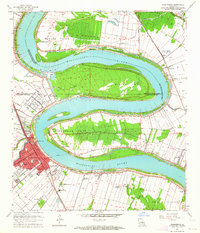 1963 Plaquemine1964 Print · USGSIberville Parish and the Mississippi River loops are captured here in the early sixties as the sugar and rail economies remained central to the landscape. Genealogists can trace family roots through named estates like St Louis Plantation and settlements such as Morrisonville and Seymourville.5 unique versions available
 - 1963 Map of Baton Rouge East, 1964 Print
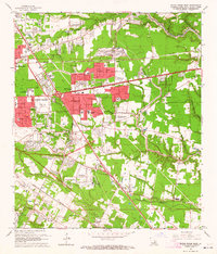 1963 Baton Rouge East1964 Print · USGSBaton Rouge’s eastern expansion is in full swing during the early sixties as residential subdivisions begin to replace old farmland. Genealogists and local historians can trace the development of Broadmoor, the Kleinpeter Cem, and the Downtown Airport.5 unique versions available
 - 1963 Map of St. Gabriel, 1964 Print
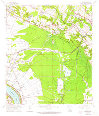 1963 St. Gabriel1964 Print · USGSJust south of Baton Rouge in the early sixties, this area shows a landscape of riverfront parishes and rising energy production. Trace family roots and land use near St Gabriel, St Raphael Cem, and the Burtville Oil Field.6 unique versions available
 - 1963 Map of Denham Springs, 1964 Print
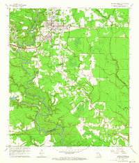 1963 Denham Springs1964 Print · USGSDenham Springs and the surrounding river country are captured here in the early sixties as the suburban landscape began to expand. Genealogists and local historians can trace family roots through sites like Palmetto Cem, Hebron Ch, and the old 7th Ward Sch.3 unique versions available
 - 1963 Map of Prairieville, 1964 Print
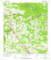 1963 Prairieville1964 Print · USGSAscension Parish is captured in the early sixties as a patchwork of bayous and growing rail-side settlements. Genealogists and local historians can trace the foundations of Prairieville, Dutch Town, and Galvez, or locate family sites near Prairieville School and Mt Zion Cemetery.4 unique versions available
 - 1963 Map of Denham Springs, 1967 Print
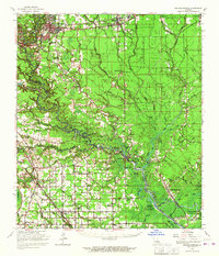 1963 Denham Springs1967 Print · USGSLouisiana's river-and-bayou country comes alive in the mid-1960s, showing the settlement patterns of Livingston and Ascension Parishes. Researchers can trace family roots at Palmetto Cem, locate the Walker Lookout Tower, or find old school sites like Frost Sch.2 unique versions available
 - 1963 Map of Baton Rouge, 1967 Print
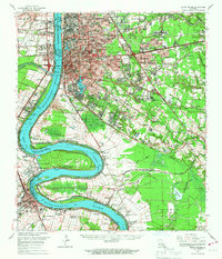 1963 Baton Rouge1967 Print · USGSBaton Rouge and its riverfront suburbs come alive in the early sixties, showing the city's expansion alongside its deep-rooted river culture. Trace the footprints of mid-century life from LSU to the Burtville Oil Field and historic Cottage Plantation.2 unique versions available
 - 1965 Map of Baton Rouge
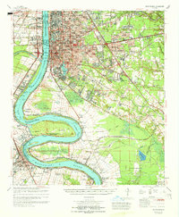 1965 Baton Rouge1965 Print · USGSBaton Rouge and the Mississippi River corridor are captured here in the mid-sixties, showcasing a landscape where urban expansion met deep-rooted river history. Genealogists and historians can trace numerous named estates and settlements, from St Louis Plantation and Morrisonville to Soulouque and Port Allen.
 - 1965 Map of Denham Springs
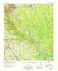 1965 Denham Springs1965 Print · USGSLivingston and Ascension Parishes are captured here in the mid-1960s, showing a landscape defined by the winding Amite River and its many bayous. Researchers can locate family landmarks like Petes Rest Cem, Port Vincent, and rural schoolhouses including 7th Ward Sch.
End of results
Showing maps 1-11 of 11
Top cities near St. George
- Baton Rouge historical maps
- Saint George historical maps
- Prairieville historical maps
- Central historical maps
- Baker historical maps
- Zachary historical maps
See more
Top neighborhoods of St. George
- Fox Run historical maps
- Hickory Ridge historical maps
- Antioch Villa historical maps
- Audubon Terrace historical maps
- Morning Glen historical maps
- Inniswold historical maps
See more
Frequently asked questions
- What are the different types of historical maps available for St. George?
- What is the oldest map of St. George?
- Where can I purchase historical maps of St. George for my home or office?
- Where can I download high-res historical maps of St. George?
- Are there historical topographic maps available for St. George?
- Is there historical aerial imagery available for St. George?
- Where are historical maps of St. George sourced from?