Old Maps of Atherton, Louisiana for Metal Detecting
Plan your next treasure hunt with 12 historic maps of Atherton. Find old homesites, ghost towns, trails, and gathering spots that may be lost to time — perfect for identifying promising metal detecting locations.
- Locate forgotten sites: Uncover places like long-lost settlements, abandoned rail lines, or gathering spots.
- Plan better hunts: Use map overlays combined with LiDAR or satellite views to narrow in on historically rich areas.
- Made for detectorists: Thousands of hobbyists use these maps to discover relics, coins, and hidden history.
Use these historic maps to boost your research and find new opportunities beneath the surface of Atherton.
Atherton, LA maps
(12)- 1939 Map of Alsatia, 1953 Print
 1939 Alsatia1953 Print · USGSThe river-driven landscape of the Louisiana and Mississippi border is shown here during a period of massive hydraulic engineering. Researchers can trace the shifting river channel and rail-stop settlements like Alsatia, Fitler PO, and Sondheimer.2 unique versions available
 - 1955 Map of Jackson
 1955 Jackson1955 Print · USGSThe Lower Mississippi Valley at the middle of the century reveals a landscape of deep river meanders and growing rail hubs. Genealogists and historians can trace the mid-century footprints of Vicksburg National Military Park, old river landings at Port Gibson, and the rail corridors of the Illinois Central Railroad.3 unique versions available
 - 1961 Map of Jackson
 1961 Jackson1961 Print · USGSThe Lower Mississippi Delta and the state capital area are captured here during the post-war era of infrastructure expansion. Researchers can trace the complex river oxbows and rail lines connecting Vicksburg, Yazoo City, and the Illinois Central Railroad network.
 - 1962 Map of Jackson
 1962 Jackson1962 Print · USGSThe Mississippi Delta and the state capital region are mapped here in the early sixties, showing a landscape defined by the great river and the growing city of JACKSON. Genealogists can trace family roots through numerous landmarks like Cedar Hill Cem, rural stops on the Illinois Central RR, and historic sites like Champion Hill.2 unique versions available
 - 1970 Map of Transylvania, 1972 Print
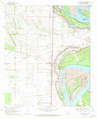 1970 Transylvania1972 Print · USGSThe Mississippi Delta's rich agricultural and rail-dependent landscape is captured here in the early seventies. Genealogists and local historians can trace family ties at Cold Tar Cem, visit the Indian Mounds, or locate historic railroad stops at Hollybrook and Transylvania.2 unique versions available
 - 1982 Map of Bastrop, 1983 Print
 1982 Bastrop1983 Print · USGSNortheastern Louisiana and the Mississippi River Delta are captured here in the early eighties as a landscape of bayous and river towns. Genealogists and historians can trace small communities like Mer Rouge and Oak Grove or the ancient terrain of Poverty Point State Park.
 - 1994 Map of Transylvania, 1995 Print
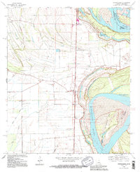 1994 Transylvania1995 Print · USGSEast Carroll Parish sits along a volatile stretch of the Mississippi River in the 1990s, where the landscape still bears the scars of historic floods. Researchers can trace land use through the Hollybrook Crevasse or locate family sites like Cold Tart Cem and the Morning Star Ch.
 - 2012 Map of Transylvania, 2012 Print
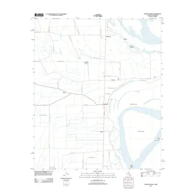 2012 Transylvania2012 Print · USGSThe Louisiana delta along the Mississippi River is captured here in the early twenty-first century, showing a landscape defined by its waterways. Researchers can trace family history through sites like Benjamin Cem or locate old river landings such as Arcadia Landing and Hollybrook.
 - 2015 Map of Transylvania, 2015 Print
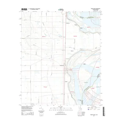 2015 Transylvania2015 Print · USGSLouisiana's Mississippi River delta country is captured here in the mid-2010s, showing a landscape defined by alluvial deposits and flood control. Researchers can trace local heritage at Cold Tar Cem or explore the river geography of Atherton Towhead and Hollybrook Crevasse.
 - 2018 Map of Transylvania, 2018 Print
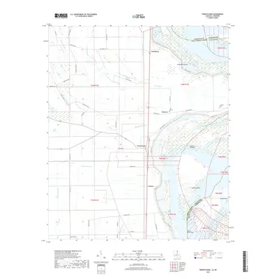 2018 Transylvania2018 Print · USGSEast Carroll Parish sits along the active bends of the Mississippi River in this recent survey. Researchers can locate family landmarks such as Cold Tar Cem and Benjamin Cem or trace the drainage networks of Maiden Doe Bayou and Hollybrook Crevasse.
 - 2020 Map of Transylvania, 2020 Print
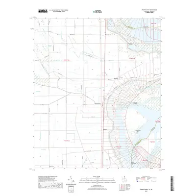 2020 Transylvania2020 Print · USGSEast Carroll Parish sits along the winding Mississippi River in this recent survey, showcasing a landscape of fertile alluvial plains and active river features. Researchers can trace the layout of Transylvania and Grimes or locate local burial sites like Cold Tar Cem and Benjamin Cem.
 - 2024 Map of Transylvania, 2024 Print
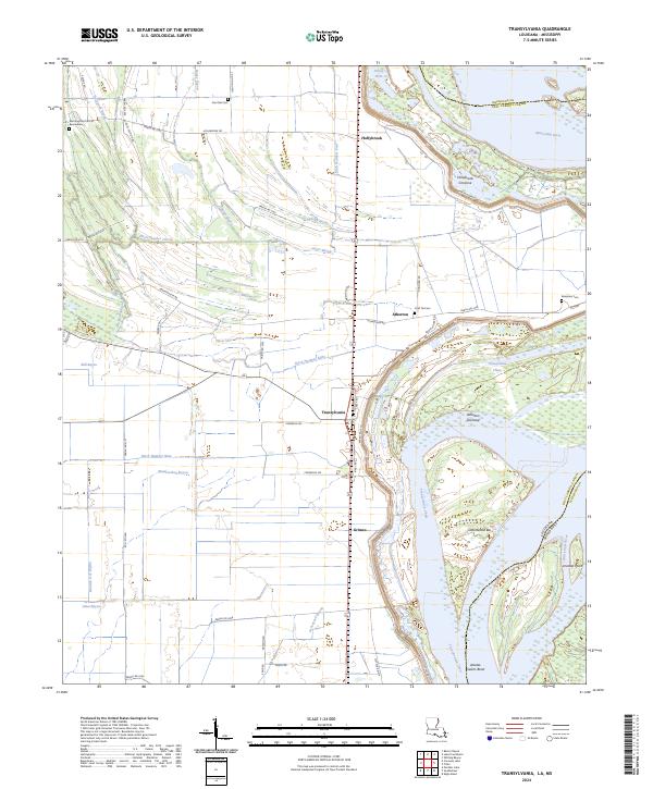 2024 Transylvania2024 Print · USGSEast Carroll Parish at the Mississippi River's edge reveals a landscape of alluvial agriculture and riverine history. Researchers can locate Transylvania and Atherton, alongside family-named sites like Benjamin Cem and Live Oak Cem.
End of results
Showing maps 1-12 of 12
Top cities near Atherton
- Lake Providence historical maps
- Oak Grove historical maps
- Mayersville historical maps
- Forest historical maps
Frequently asked questions
- What are the different types of historical maps available for Atherton?
- What is the oldest map of Atherton?
- Where can I purchase historical maps of Atherton for my home or office?
- Where can I download high-res historical maps of Atherton?
- Are there historical topographic maps available for Atherton?
- Is there historical aerial imagery available for Atherton?
- Where are historical maps of Atherton sourced from?