2020s Maps of Iberville Parish, Louisiana
Explore 38 historic maps of Iberville Parish from the 2020s. These maps offer a rare glimpse into what life looked like during the 2020s — showing old roads, neighborhoods, homes, and landmarks that have changed or disappeared over time.
Whether you're researching your family's past, planning a metal detecting trip, or studying how Iberville Parish's landscape evolved across the 2020s, these high-resolution maps are a powerful tool for exploring the history of this region.
- Focus on a specific era: All maps on this page are from the 2020s, giving you a focused view of this time period.
- See what’s changed: Compare century-old streets, trails, and buildings to today's modern landscape using overlays and satellite layers.
- Research with precision: Use these maps for genealogy, historical research, land use analysis, or educational projects.
- View, download, or print: Maps are fully viewable online in high resolution, and can be downloaded or printed for your own records.
Start exploring Iberville Parish's history through authentic maps from the 2020s. This is your window into the past.
Iberville Parish, LA maps
(38)- 2020 Map of Plaquemine, 2020 Print
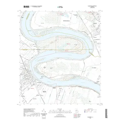 2020 Plaquemine2020 Print · USGSCovers Iberville Parish, including Baton Rouge, St. George, and other nearby areas
 - 2020 Map of Butte La Rose, 2020 Print
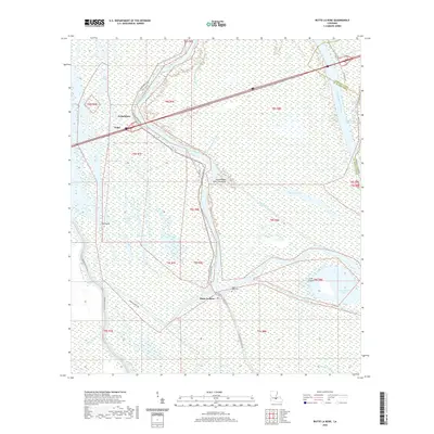 2020 Butte La Rose2020 Print · USGSCovers Iberville Parish, including Butte La Rose, Pelba, and other nearby areas
 - 2020 Map of Grosse Tete SW, 2020 Print
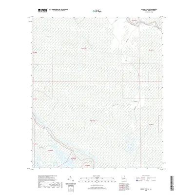 2020 Grosse Tete SW2020 Print · USGSCovers Iberville Parish, including United States, Louisiana, and other nearby areas
 - 2020 Map of Maringouin, 2020 Print
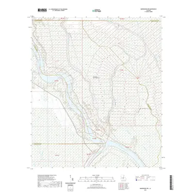
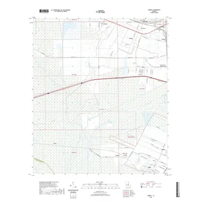
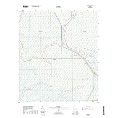
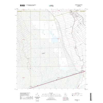 2020 Maringouin2020 Print · USGSCovers Iberville Parish, including Maringouin, Sparks, and other nearby areas
 - 2020 Map of Saint Gabriel, 2020 Print
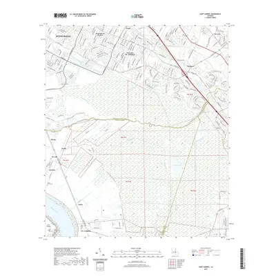 2020 Saint Gabriel2020 Print · USGSCovers Iberville Parish, including Baton Rouge, Saint George, and other nearby areas
 - 2020 Map of Addis, 2020 Print
 2020 Addis2020 Print · USGSCovers Iberville Parish, including Plaquemine, Addis, and other nearby areas
 - 2020 Map of Belle Rose, 2020 Print
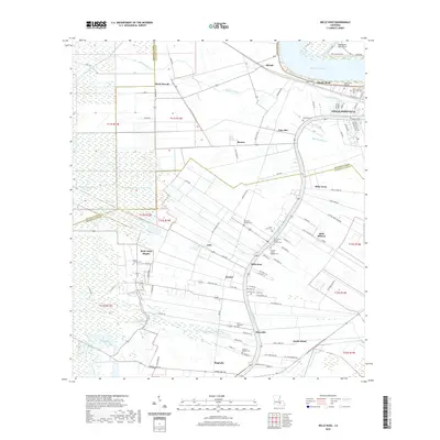 2020 Belle Rose2020 Print · USGSCovers Iberville Parish, including Donaldsonville, Palo Alto, and other nearby areas
 - 2020 Map of Carville, 2020 Print
 2020 Carville2020 Print · USGSCovers Iberville Parish, including Miles, Noel, and other nearby areas
 - 2020 Map of Grand River, 2020 Print
 2020 Grand River2020 Print · USGSCovers Iberville Parish, including Grand River, Saint Martin Parish, and other nearby areas
 - 2020 Map of Maringouin NW, 2020 Print
 2020 Maringouin NW2020 Print · USGSCovers Iberville Parish, including St. Landry Parish, Saint Martin Parish, and other nearby areas
 - 2020 Map of Bayou Sorrel, 2020 Print
 2020 Bayou Sorrel2020 Print · USGSCovers Iberville Parish, including Crescent, Choctaw, and other nearby areas
 - 2020 Map of Lone Star, 2020 Print
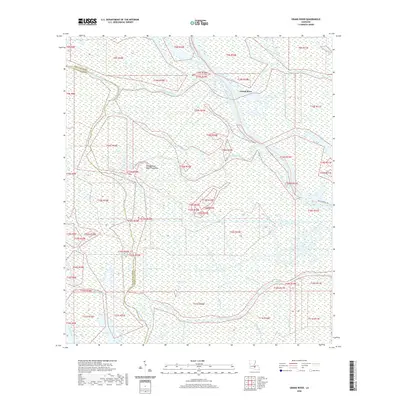
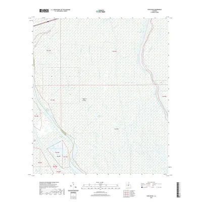
 2020 Lone Star2020 Print · USGSCovers Iberville Parish, including Lone Star, Grand Bayou, and other nearby areas
 - 2020 Map of White Castle, 2020 Print
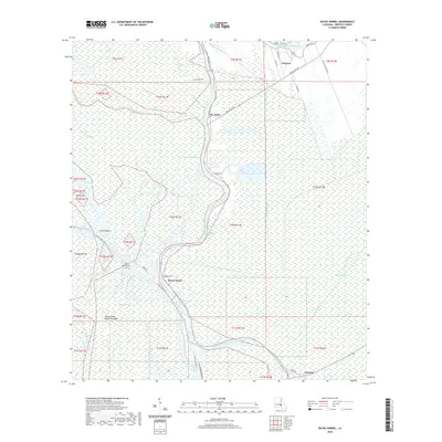
 2020 White Castle2020 Print · USGSCovers Iberville Parish, including White Castle, Bayou Goula, and other nearby areas
 - 2020 Map of Lobdell, 2020 Print
 2020 Lobdell2020 Print · USGSCovers Iberville Parish, including Addis, Brusly, and other nearby areas
 - 2020 Map of Cow Bayou, 2020 Print
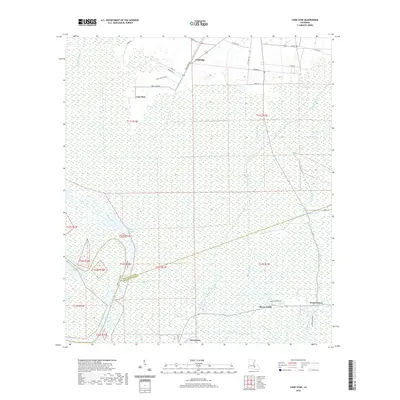
 2020 Cow Bayou2020 Print · USGSCovers Iberville Parish, including Rycade, Saint Martin Parish, and other nearby areas
 - 2020 Map of Lake Chicot, 2020 Print
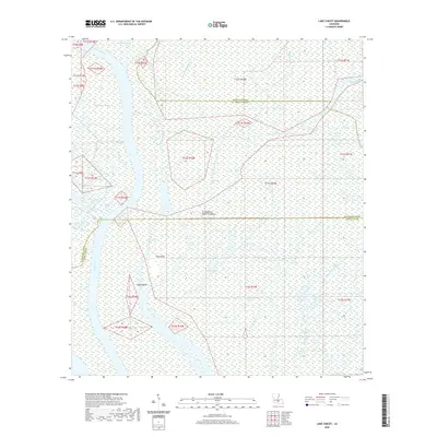 2020 Lake Chicot2020 Print · USGSCovers Iberville Parish, including Iberia Parish, Saint Martin Parish, and other nearby areas
 - 2020 Map of Pigeon, 2020 Print
 2020 Pigeon2020 Print · USGSCovers Iberville Parish, including Pigeon, Iberia Parish, and other nearby areas
 - 2020 Map of Lake Mongoulois, 2020 Print
 2020 Lake Mongoulois2020 Print · USGSCovers Iberville Parish, including Bayou Chene, Saint Martin Parish, and other nearby areas
 - 2020 Map of Grosse Tete, 2020 Print
 2020 Grosse Tete2020 Print · USGSCovers Iberville Parish, including Rosedale, Grosse Tete, and other nearby areas
 - 2024 Map of Grand River, 2024 Print
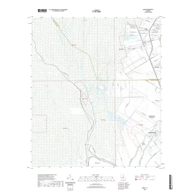
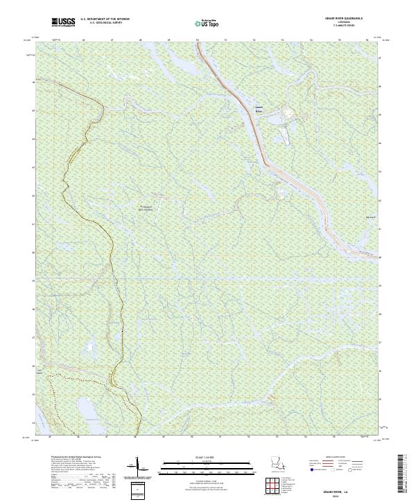 2024 Grand River2024 Print · USGSThe Atchafalaya Basin at the border of Iberville and St. Martin parishes is shown in this recent survey of its shifting waterways. Trace the network of the Upper Grand River as it meets Bayou Sorrel and the waters of Pigeon Bay.
 - 2024 Map of Addis, 2024 Print
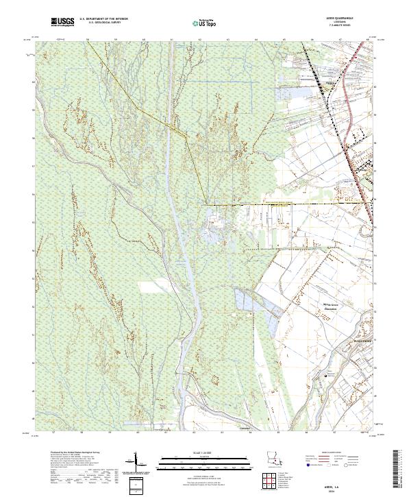 2024 Addis2024 Print · USGSThe area surrounding Addis and Plaquemine is shown here during a period of modern growth and maritime commerce. Trace family roots and land patterns near Myrtle Grove Plantation or the Grace Memorial Park Cem.
 - 2024 Map of Plaquemine, 2024 Print
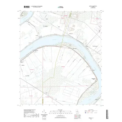
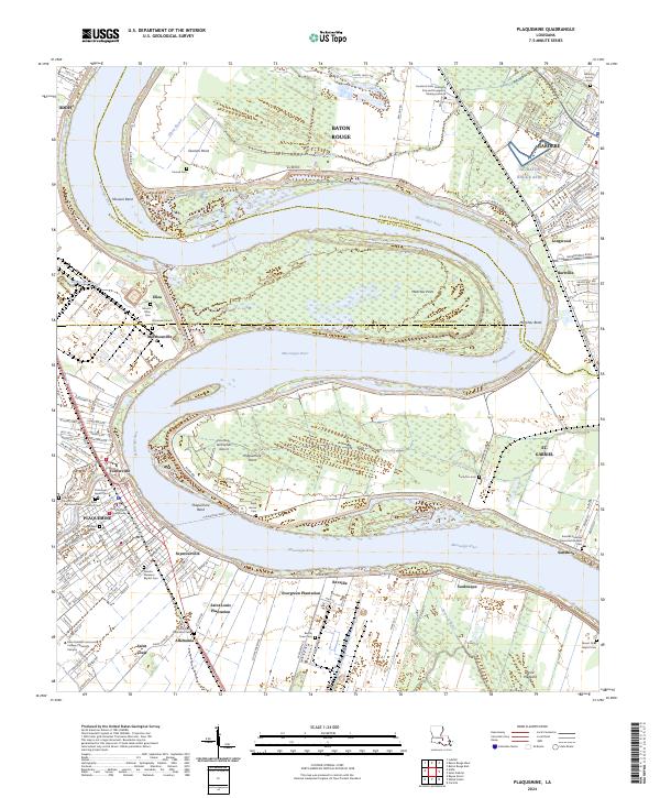 2024 Plaquemine2024 Print · USGSThe Mississippi River corridor south of Baton Rouge comes into focus through its historic river road communities and plantation lands. Trace the geography of Evergreen Plantation, visit the Iberville Parish Courthouse, or locate family sites at Saint Louis Plantation Cem.
 - 2024 Map of Lake Chicot, 2024 Print
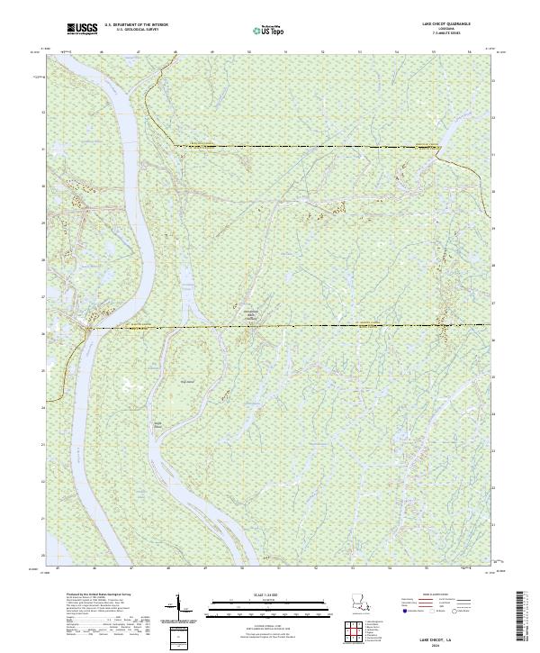 2024 Lake Chicot2024 Print · USGSThe Atchafalaya Basin at the border of Iberville, St. Martin, and Iberia Parishes appears here in its modern form. Researchers can trace the complex water systems of Hog Island, Eagle Island, and Turkey Island or navigate the channels of Chicot Pass and Indigo Bayou.
 - 2024 Map of Lobdell, 2024 Print
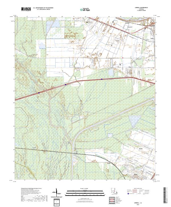 2024 Lobdell2024 Print · USGSWest Baton Rouge Parish in the 2020s remains a critical corridor for Louisiana water and rail traffic near the Mississippi. Researchers can trace historical settlement patterns from Lobdell and Ithra down to the growth of Addis and Brusly.
 - 2024 Map of Lone Star, 2024 Print
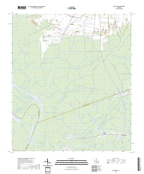 2024 Lone Star2024 Print · USGSThe marshy parish borders of Iberville and Assumption come alive in this recent survey of the Louisiana wetlands. Genealogists and researchers can trace the reach of the bayou at Lone Star and Goldridge or follow the waters of Bay Natchez.
Showing maps 1-25 of 38
Top cities of Iberville Parish
- Plaquemine historical maps
- White Castle historical maps
- Maringouin historical maps
- Rosedale historical maps
- Grosse Tete historical maps
Frequently asked questions
- What are the different types of historical maps available for Iberville Parish?
- What is the oldest map of Iberville Parish?
- Where can I purchase historical maps of Iberville Parish for my home or office?
- Where can I download high-res historical maps of Iberville Parish?
- Are there historical topographic maps available for Iberville Parish?
- Is there historical aerial imagery available for Iberville Parish?
- Where are historical maps of Iberville Parish sourced from?