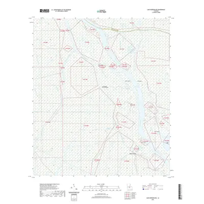
2020 Map of Lake Mongoulois
USGS Topo · Published 2020About this map
Bayou Chene sits at the heart of this intricate aquatic landscape, situated where the borders of Saint Martin and Iberville Parishes meet. The map documents a complex network of waterways within the Atchafalaya Basin Floodway, where the Upper Grand River and Big Tensas Bayou feed into a labyrinth of chutes and cuts. Notable water features like Lake Mongoulois and Tensas Bay dominate the eastern half, while man-made or altered channels such as Blind Tensas Cut and Little Devil Cut reflect the hydraulic management of this swampy interior.
Find a feature on this map
51 named features on this map. Tap any name to fly to it.
Don’t see what you’re looking for? This feature index may not catch every label — zoom into the map to look around manually.
Map Details
Editions of this 2020 Lake Mongoulois Map
This is the sole edition of this map. No revisions or reprints were ever made.
Other maps of this area

1935 · Osca Bayou
USGS Topo · 1:62,500

1935 · Chicot Lake
USGS Topo · 1:62,500

1940 · Grosse Tete
USGS Topo · 1:62,500

1941 · Loreauville
USGS Topo · 1:62,500

1953 · Cow Bayou
USGS Topo · 1:24,000

1953 · Pigeon Bay
USGS Topo · 1:24,000

1953 · Grosse Tete SW
USGS Topo · 1:24,000

1954 · Chicot Lake
USGS Topo · 1:62,500

1954 · Loreauville
USGS Topo · 1:62,500

1954 · Baton Rouge
USGS Topo · 1:250,000