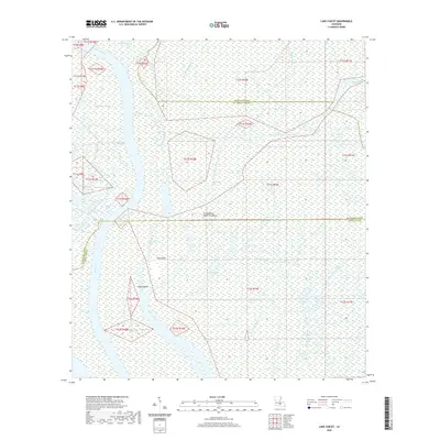
2020 Map of Lake Chicot
USGS Topo · Published 2020About this map
The Atchafalaya Basin Floodway dominates this landscape in the heart of Acadiana, revealing a complex network of wetlands where St. Martin, Iberville, and Iberia Parishes meet. The area is defined by its interconnected waterways, including Chicot Pass and Flat Lake, which weave around several named landmasses like Hog Island and Eagle Island. This document illustrates the intricate drainage patterns of the basin, featuring numerous bayous such as Deadman Bayou and Catfish Bayou. The absence of developed roads or settlements highlights the region's character as a managed flood control basin and a significant natural corridor, where water levels and siltation patterns dictate the geography. The presence of features like Sawyers Cove and Tarleton Bayou in the north shows the transition from larger open water bodies to narrow, winding distributaries.
Find a feature on this map
29 named features on this map. Tap any name to fly to it.
Don’t see what you’re looking for? This feature index may not catch every label — zoom into the map to look around manually.
Map Details
Editions of this 2020 Lake Chicot Map
This is the sole edition of this map. No revisions or reprints were ever made.
Other maps of this area

1935 · Chicot Lake
USGS Topo · 1:62,500

1937 · Jeanerette
USGS Topo · 1:62,500

1941 · Loreauville
USGS Topo · 1:62,500

1945 · New Orleans
USGS Topo · 1:250,000

1948 · Foster
USGS Topo · 1:62,500

1953 · Crescent
USGS Topo · 1:24,000

1953 · Pigeon Bay
USGS Topo · 1:24,000

1954 · Chicot Lake
USGS Topo · 1:62,500

1954 · Loreauville
USGS Topo · 1:62,500

1954 · Jeanerette
USGS Topo · 1:62,500