2000s (21st Century) Maps of St. Gabriel, Louisiana
Explore 20 historic maps of St. Gabriel from the 2000s (21st Century). These maps offer a rare glimpse into what life looked like during the 2000s — showing old roads, neighborhoods, homes, and landmarks that have changed or disappeared over time.
Whether you're researching your family's past, planning a metal detecting trip, or studying how St. Gabriel's landscape evolved across the 2000s, these high-resolution maps are a powerful tool for exploring the history of this region.
- Focus on a specific era: All maps on this page are from the 2000s, giving you a focused view of this time period.
- See what’s changed: Compare century-old streets, trails, and buildings to today's modern landscape using overlays and satellite layers.
- Research with precision: Use these maps for genealogy, historical research, land use analysis, or educational projects.
- View, download, or print: Maps are fully viewable online in high resolution, and can be downloaded or printed for your own records.
Start exploring St. Gabriel's history through authentic maps from the 2000s. This is your window into the past.
St. Gabriel, LA maps
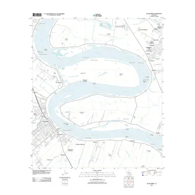
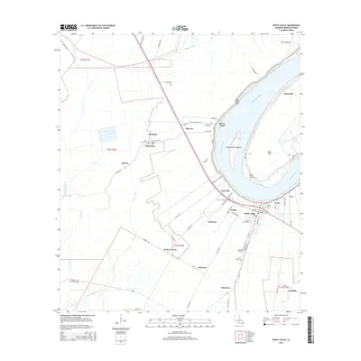
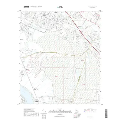
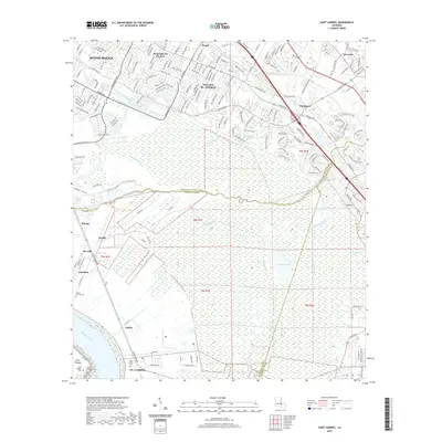
(20)- 2012 Map of White Castle, 2012 Print
 2012 White Castle2012 Print · USGSCovers St. Gabriel, including White Castle, Bayou Goula, and other nearby areas
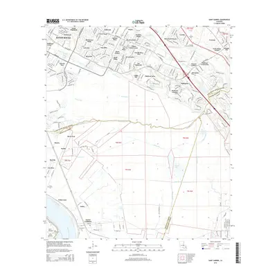
 - 2012 Map of Carville, 2012 Print
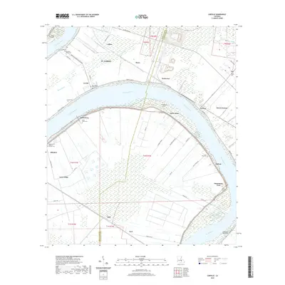
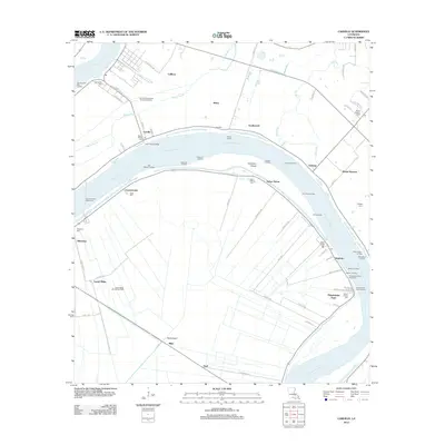 2012 Carville2012 Print · USGSCovers St. Gabriel, including Miles, Noel, and other nearby areas
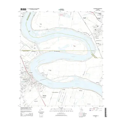
 - 2012 Map of Plaquemine, 2012 Print
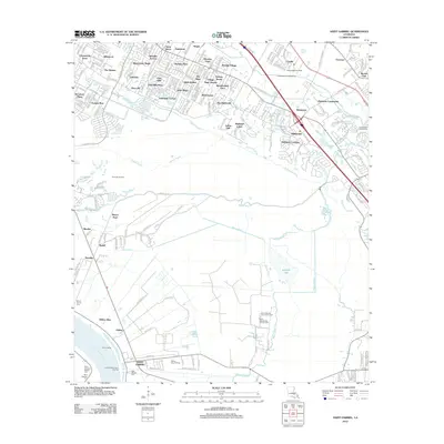
 2012 Plaquemine2012 Print · USGSCovers St. Gabriel, including Baton Rouge, St. George, and other nearby areas
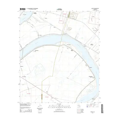
 - 2012 Map of Saint Gabriel, 2012 Print
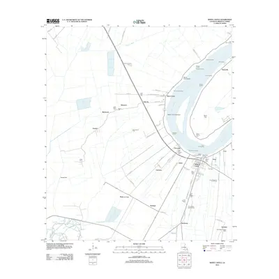
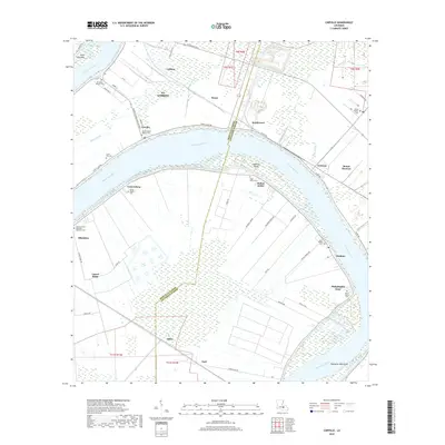
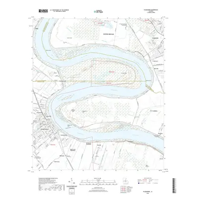
 2012 Saint Gabriel2012 Print · USGSCovers St. Gabriel, including Baton Rouge, Saint George, and other nearby areas
 - 2015 Map of White Castle, 2015 Print
 2015 White Castle2015 Print · USGSCovers St. Gabriel, including White Castle, Bayou Goula, and other nearby areas
 - 2015 Map of Plaquemine, 2015 Print
 2015 Plaquemine2015 Print · USGSCovers St. Gabriel, including Baton Rouge, St. George, and other nearby areas
 - 2015 Map of Saint Gabriel, 2015 Print
 2015 Saint Gabriel2015 Print · USGSCovers St. Gabriel, including Baton Rouge, Saint George, and other nearby areas
 - 2015 Map of Carville, 2015 Print
 2015 Carville2015 Print · USGSCovers St. Gabriel, including Miles, Noel, and other nearby areas
 - 2018 Map of Carville, 2018 Print
 2018 Carville2018 Print · USGSCovers St. Gabriel, including Miles, Noel, and other nearby areas
 - 2018 Map of Saint Gabriel, 2018 Print
 2018 Saint Gabriel2018 Print · USGSCovers St. Gabriel, including Baton Rouge, Saint George, and other nearby areas
 - 2018 Map of White Castle, 2018 Print
 2018 White Castle2018 Print · USGSCovers St. Gabriel, including White Castle, Bayou Goula, and other nearby areas
 - 2018 Map of Plaquemine, 2018 Print
 2018 Plaquemine2018 Print · USGSCovers St. Gabriel, including Baton Rouge, St. George, and other nearby areas
 - 2020 Map of Plaquemine, 2020 Print
 2020 Plaquemine2020 Print · USGSCovers St. Gabriel, including Baton Rouge, St. George, and other nearby areas
 - 2020 Map of Saint Gabriel, 2020 Print
 2020 Saint Gabriel2020 Print · USGSCovers St. Gabriel, including Baton Rouge, Saint George, and other nearby areas
 - 2020 Map of Carville, 2020 Print
 2020 Carville2020 Print · USGSCovers St. Gabriel, including Miles, Noel, and other nearby areas
 - 2020 Map of White Castle, 2020 Print
 2020 White Castle2020 Print · USGSCovers St. Gabriel, including White Castle, Bayou Goula, and other nearby areas
 - 2024 Map of Plaquemine, 2024 Print
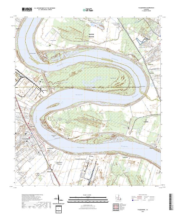 2024 Plaquemine2024 Print · USGSThe Mississippi River corridor south of Baton Rouge comes into focus through its historic river road communities and plantation lands. Trace the geography of Evergreen Plantation, visit the Iberville Parish Courthouse, or locate family sites at Saint Louis Plantation Cem.
 - 2024 Map of Saint Gabriel, 2024 Print
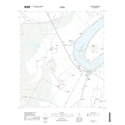
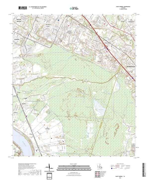 2024 Saint Gabriel2024 Print · USGSThe river parishes of Iberville and Ascension are captured here in the early twenty-first century, showing the interface of suburban expansion and deep wetlands. Researchers can trace the grounds of Saint Gabriel Cem, find Old Jefferson, or follow the winding Bayou Manchac.
 - 2024 Map of White Castle, 2024 Print
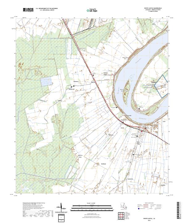 2024 White Castle2024 Print · USGSThe Mississippi River corridor south of Baton Rouge is captured here in modern detail, showing the river’s winding course and historical river-road settlements. Genealogists can locate family burial sites like White Castle Cemetery, Pilgrim Cem, and the unique Patients' Hansen's Disease Cem.
 - 2024 Map of Carville, 2024 Print
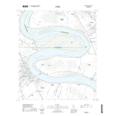
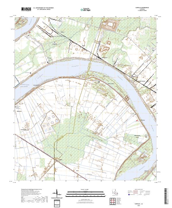 2024 Carville2024 Print · USGSThe sweeping meanders of the Mississippi River define life in Ascension and Iberville Parishes during the twenty-first century. Researchers can trace the heritage of local river communities through sites like Hohen Solms, Philadelphia Point, and the Asbery African Methodist Episcopal Cem.
End of results
Showing maps 1-20 of 20
Top cities near St. Gabriel
- Baton Rouge historical maps
- St. George historical maps
- Saint George historical maps
- Prairieville historical maps
- Central historical maps
- Gonzales historical maps
See more
Top neighborhoods of St. Gabriel
- Bruns historical maps
- Carville historical maps
- Rhodes historical maps
- Willow Glen historical maps
- Bayou Paul historical maps
- Sunshine historical maps
See more
Frequently asked questions
- What are the different types of historical maps available for St. Gabriel?
- What is the oldest map of St. Gabriel?
- Where can I purchase historical maps of St. Gabriel for my home or office?
- Where can I download high-res historical maps of St. Gabriel?
- Are there historical topographic maps available for St. Gabriel?
- Is there historical aerial imagery available for St. Gabriel?
- Where are historical maps of St. Gabriel sourced from?