2000s (21st Century) Maps of Jackson Parish, Louisiana
Explore 71 historic maps of Jackson Parish from the 2000s (21st Century). These maps offer a rare glimpse into what life looked like during the 2000s — showing old roads, neighborhoods, homes, and landmarks that have changed or disappeared over time.
Whether you're researching your family's past, planning a metal detecting trip, or studying how Jackson Parish's landscape evolved across the 2000s, these high-resolution maps are a powerful tool for exploring the history of this region.
- Focus on a specific era: All maps on this page are from the 2000s, giving you a focused view of this time period.
- See what’s changed: Compare century-old streets, trails, and buildings to today's modern landscape using overlays and satellite layers.
- Research with precision: Use these maps for genealogy, historical research, land use analysis, or educational projects.
- View, download, or print: Maps are fully viewable online in high resolution, and can be downloaded or printed for your own records.
Start exploring Jackson Parish's history through authentic maps from the 2000s. This is your window into the past.
Jackson Parish, LA maps
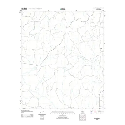
(71)- 2003 Map of Danville, 2005 Print
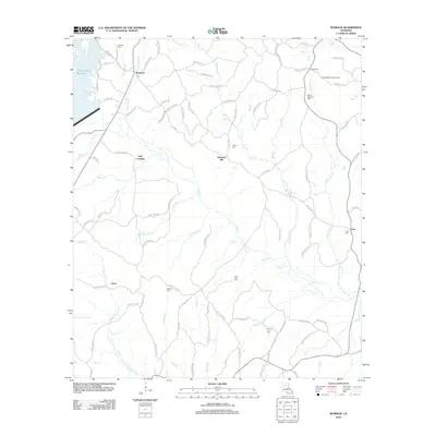
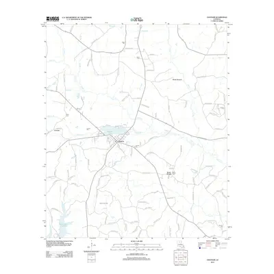
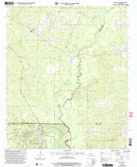 2003 Danville2005 Print · USGSNorth central Louisiana at the start of the 2000s shows a landscape dominated by the Kisatchie National Forest and the winding Dugdemona River. Researchers can trace old parish lines, find family Cem sites, and locate the settlement of Danville.
 - 2012 Map of Weston, 2012 Print
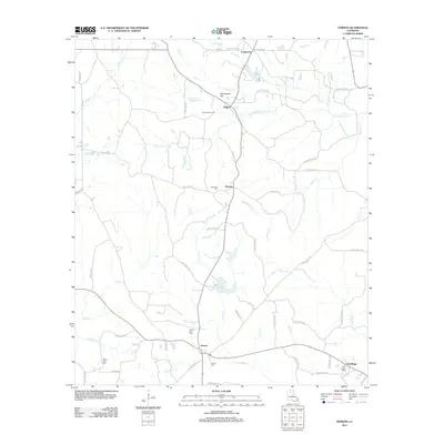
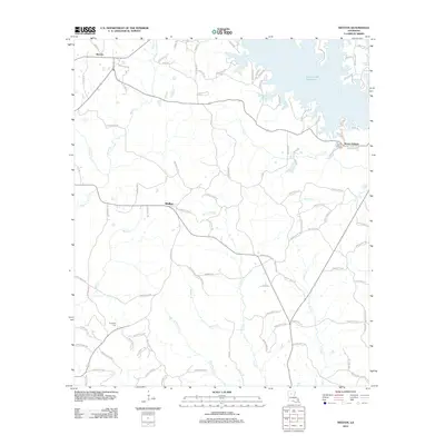 2012 Weston2012 Print · USGSCovers Jackson Parish, including Walker, Mount Hebron, and other nearby areas
 - 2012 Map of Danville, 2012 Print
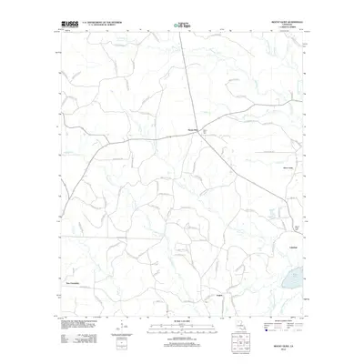
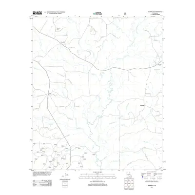 2012 Danville2012 Print · USGSCovers Jackson Parish, including Loe, Danville, and other nearby areas
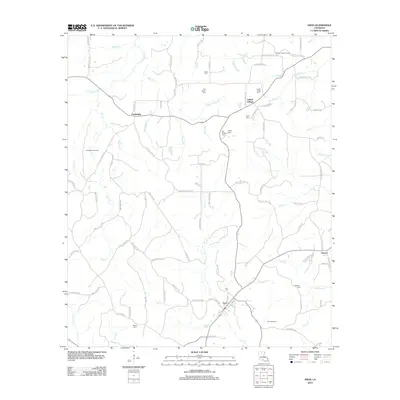
 - 2012 Map of Vixen, 2012 Print
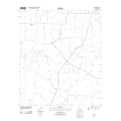
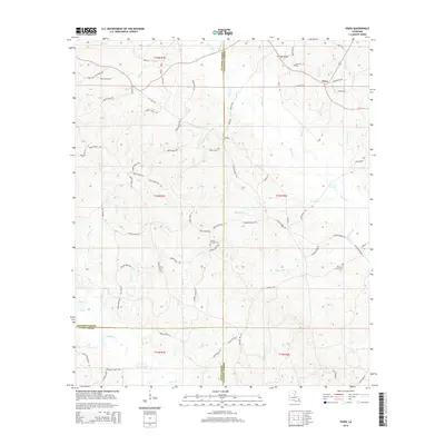
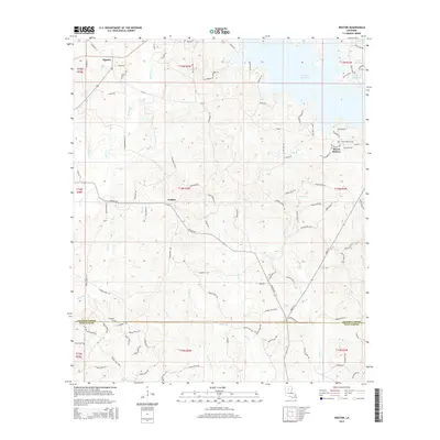
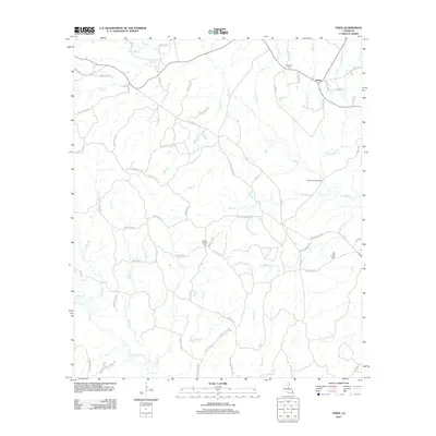 2012 Vixen2012 Print · USGSCovers Jackson Parish, including Vixen, Winn Parish, and other nearby areas
 - 2012 Map of Womack, 2012 Print
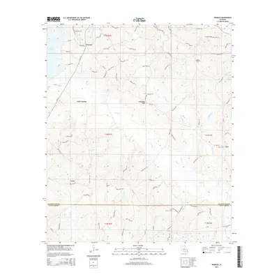
 2012 Womack2012 Print · USGSCovers Jackson Parish, including Womack, Pleasant Hill, and other nearby areas
 - 2012 Map of Vernon, 2012 Print
 2012 Vernon2012 Print · USGSCovers Jackson Parish, including Ebenzer, Longstraw, and other nearby areas
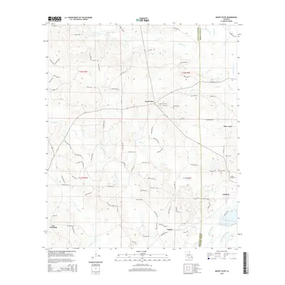
 - 2012 Map of Mount Olive, 2012 Print
 2012 Mount Olive2012 Print · USGSCovers Jackson Parish, including English, New Friendship, and other nearby areas
 - 2012 Map of Clay, 2012 Print
 2012 Clay2012 Print · USGSCovers Jackson Parish, including Ruston, Clay, and other nearby areas
 - 2012 Map of Chatham SE, 2012 Print
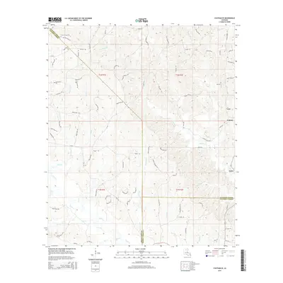
 2012 Chatham SE2012 Print · USGSCovers Jackson Parish, including Anabel, Tama, and other nearby areas
 - 2012 Map of Eros, 2012 Print
 2012 Eros2012 Print · USGSCovers Jackson Parish, including Eros, Guyton, and other nearby areas
 - 2012 Map of Wilson Creek, 2012 Print
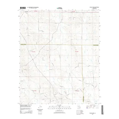
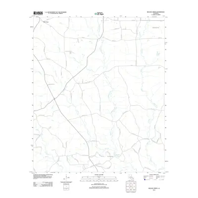 2012 Wilson Creek2012 Print · USGSCovers Jackson Parish, including Oak Grove, Lincoln Parish, and other nearby areas
 - 2012 Map of Jonesboro South, 2012 Print
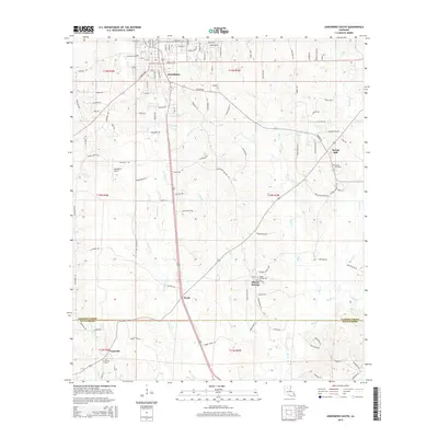
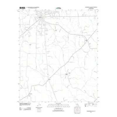 2012 Jonesboro South2012 Print · USGSCovers Jackson Parish, including Jonesboro, Siloam Springs, and other nearby areas
 - 2012 Map of Chatham, 2012 Print
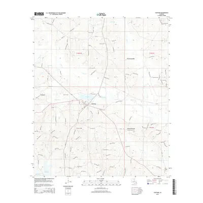
 2012 Chatham2012 Print · USGSCovers Jackson Parish, including Chatham, Wood Junction, and other nearby areas
 - 2012 Map of Jonesboro North, 2012 Print
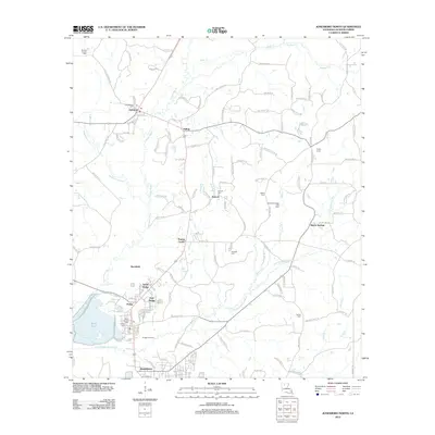 2012 Jonesboro North2012 Print · USGSCovers Jackson Parish, including Jonesboro, Hodge, and other nearby areas
 - 2012 Map of Curr Creek, 2012 Print
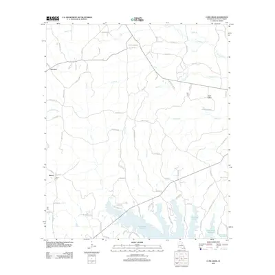 2012 Curr Creek2012 Print · USGSCovers Jackson Parish, including Saint Rest, Hebron, and other nearby areas
 - 2015 Map of Jonesboro North, 2015 Print
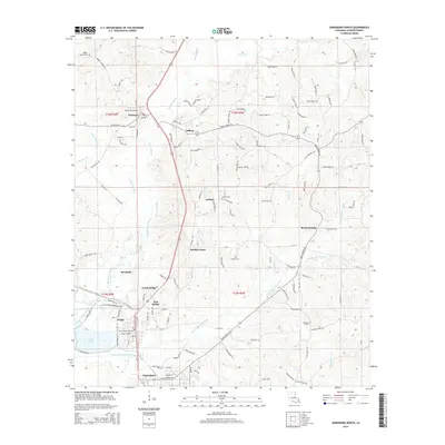 2015 Jonesboro North2015 Print · USGSCovers Jackson Parish, including Jonesboro, Hodge, and other nearby areas
 - 2015 Map of Mount Olive, 2015 Print
 2015 Mount Olive2015 Print · USGSCovers Jackson Parish, including English, New Friendship, and other nearby areas
 - 2015 Map of Vixen, 2015 Print
 2015 Vixen2015 Print · USGSCovers Jackson Parish, including Vixen, Winn Parish, and other nearby areas
 - 2015 Map of Chatham SE, 2015 Print
 2015 Chatham SE2015 Print · USGSCovers Jackson Parish, including Anabel, Tama, and other nearby areas
 - 2015 Map of Jonesboro South, 2015 Print
 2015 Jonesboro South2015 Print · USGSCovers Jackson Parish, including Jonesboro, Siloam Springs, and other nearby areas
 - 2015 Map of Womack, 2015 Print
 2015 Womack2015 Print · USGSCovers Jackson Parish, including Womack, Pleasant Hill, and other nearby areas
 - 2015 Map of Weston, 2015 Print
 2015 Weston2015 Print · USGSCovers Jackson Parish, including Walker, Mount Hebron, and other nearby areas
 - 2015 Map of Chatham, 2015 Print
 2015 Chatham2015 Print · USGSCovers Jackson Parish, including Chatham, Wood Junction, and other nearby areas
 - 2015 Map of Wilson Creek, 2015 Print
 2015 Wilson Creek2015 Print · USGSCovers Jackson Parish, including Oak Grove, Lincoln Parish, and other nearby areas
 - 2015 Map of Clay, 2015 Print
 2015 Clay2015 Print · USGSCovers Jackson Parish, including Ruston, Clay, and other nearby areas
Showing maps 1-25 of 71
Top cities of Jackson Parish
- Jonesboro historical maps
- Chatham historical maps
- Hodge historical maps
- North Hodge historical maps
- East Hodge historical maps
- Eros historical maps
See more
Frequently asked questions
- What are the different types of historical maps available for Jackson Parish?
- What is the oldest map of Jackson Parish?
- Where can I purchase historical maps of Jackson Parish for my home or office?
- Where can I download high-res historical maps of Jackson Parish?
- Are there historical topographic maps available for Jackson Parish?
- Is there historical aerial imagery available for Jackson Parish?
- Where are historical maps of Jackson Parish sourced from?