2010s Maps of Jackson Parish, Louisiana
Explore 42 historic maps of Jackson Parish from the 2010s. These maps offer a rare glimpse into what life looked like during the 2010s — showing old roads, neighborhoods, homes, and landmarks that have changed or disappeared over time.
Whether you're researching your family's past, planning a metal detecting trip, or studying how Jackson Parish's landscape evolved across the 2010s, these high-resolution maps are a powerful tool for exploring the history of this region.
- Focus on a specific era: All maps on this page are from the 2010s, giving you a focused view of this time period.
- See what’s changed: Compare century-old streets, trails, and buildings to today's modern landscape using overlays and satellite layers.
- Research with precision: Use these maps for genealogy, historical research, land use analysis, or educational projects.
- View, download, or print: Maps are fully viewable online in high resolution, and can be downloaded or printed for your own records.
Start exploring Jackson Parish's history through authentic maps from the 2010s. This is your window into the past.
Jackson Parish, LA maps
(42)- 2012 Map of Weston, 2012 Print
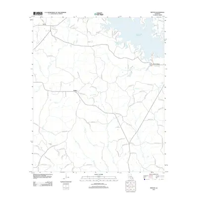 2012 Weston2012 Print · USGSJackson Parish comes into focus during the early twenty-first century, showing a landscape defined by the expansive Caney Creek Reservoir. Genealogists and local historians can trace family locations near Weston, Walker, and the Mount Hebron Cemetery.
 - 2012 Map of Danville, 2012 Print
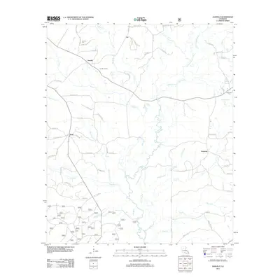 2012 Danville2012 Print · USGSNorthern Louisiana's timber and gas lands are shown here as they appeared in the early 2010s. Researchers can locate the Danville Gas Field, trace the winding path of Fouse Bayou, and find family history at Danville Cem and McDonald Cem.
 - 2012 Map of Vixen, 2012 Print
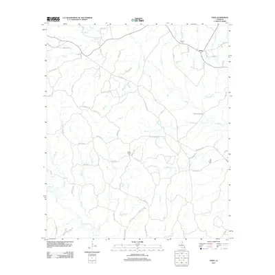 2012 Vixen2012 Print · USGSCaldwell Parish in the early twenty-first century reveals a landscape defined by its complex creek networks and quiet settlements. Researchers can trace family history through local landmarks like Palestine Cem, the Seven Runs Crossing, and the small community of Vixen.
 - 2012 Map of Womack, 2012 Print
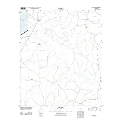 2012 Womack2012 Print · USGSJackson Parish rural life is centered around small timber settlements and creek-side communities in the early 2010s. Researchers can locate family roots at Mount Pleasant Cem or trace the legacy of local industry at Hoods Mill and the Hoods Mill Lookout Tower.
 - 2012 Map of Vernon, 2012 Print
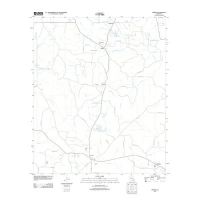 2012 Vernon2012 Print · USGSNorthern Jackson Parish comes into focus in the early 2010s, showing a rural landscape shaped by gas extraction and quiet settlements. Genealogists can locate family burial grounds at Mount Zion Cem or Oak Ridge Cem and trace the paths of Castor Cr and Sandy Cr.
 - 2012 Map of Mount Olive, 2012 Print
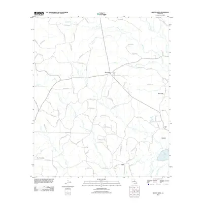 2012 Mount Olive2012 Print · USGSNorth-central Louisiana's rural landscape is mapped here in the early twenty-first century, showing the crossroads and creek-side settlements of Bienville Parish. Researchers can pinpoint Mount Olive Cem, the community of New Friendship, and the winding Dugdemona River.
 - 2012 Map of Clay, 2012 Print
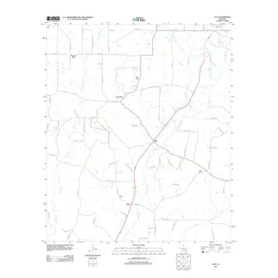 2012 Clay2012 Print · USGSNorth Louisiana's timber and gas lands are shown in detail during the early 2010s, featuring the rural settlements of Clay and Ansley. Genealogists and local historians can trace family locations at Wesley Chapel Cem, Prospect Cem, and the Clay Gas Field.
 - 2012 Map of Chatham SE, 2012 Print
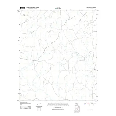 2012 Chatham SE2012 Print · USGSIn the decade before 2012, this pocket of rural Louisiana maintained a dense network of family-named roads and winding bayous. Genealogists can locate family landmarks like Head Cem or trace the industrial footprint of the North Vixen Gas Field near Anabel.
 - 2012 Map of Eros, 2012 Print
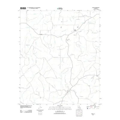 2012 Eros2012 Print · USGSThe rural landscape of Jackson Parish is well preserved in this early 2010s survey, detailing a network of small settlements and family landmarks. Genealogists and historians can trace lineage through Butler Cem, Eros Cem, and the community of Indian Village.
 - 2012 Map of Wilson Creek, 2012 Print
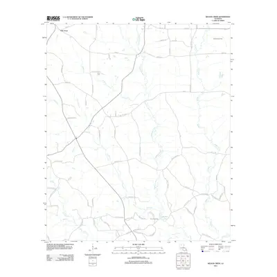 2012 Wilson Creek2012 Print · USGSLincoln Parish comes into focus during the early twenty-first century as a landscape of timber, winding creeks, and active gas fields. Genealogists and local historians can locate Pruitt Cem and trace the reaches of the Dugdemona River and Simsboro Gas Field.
 - 2012 Map of Jonesboro South, 2012 Print
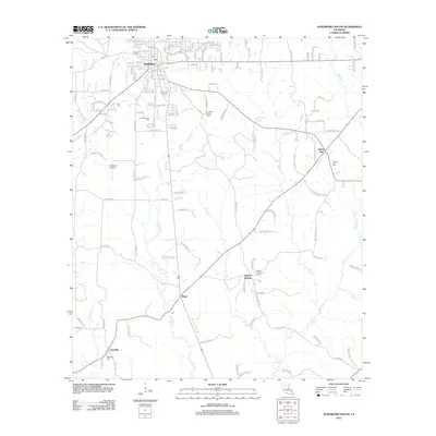 2012 Jonesboro South2012 Print · USGSJackson Parish settlements and rural intersections are captured here during the early twenty-first century. Researchers can trace family history through several local burial sites, including Siloam Springs Cem and Gansville Cem, or locate landmarks like the Jonesboro Lookout Tower.
 - 2012 Map of Chatham, 2012 Print
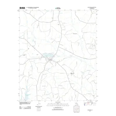 2012 Chatham2012 Print · USGSLouisiana's Jackson Parish landscape is captured here in the early twenty-first century, centered on the lakeside town of Chatham. Genealogists and local historians can trace rural burial grounds like Salem Cem and Mount Moriah Cem or locate the Chatham Gas Field.
 - 2012 Map of Jonesboro North, 2012 Print
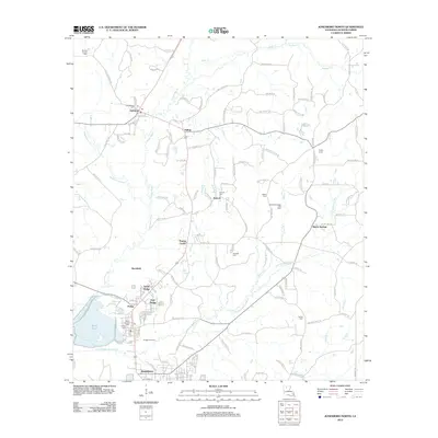 2012 Jonesboro North2012 Print · USGSJackson Parish communities like Quitman and Hodge are shown at the start of the 2010s, mapping a landscape of timber and natural gas. Researchers can trace family ties at Saint Henrys Cemetery or locate old homesteads near Punkin Center and Rockfield.
 - 2012 Map of Curr Creek, 2012 Print
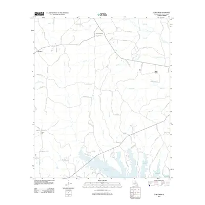 2012 Curr Creek2012 Print · USGSJackson Parish during the early twenty-first century remains a landscape of timber-lined creeks and small rural settlements. Researchers can trace local family lineages through Saint Claire Cem and Hebron Cem, or locate the historic Vernon Lookout Tower.
 - 2015 Map of Jonesboro North, 2015 Print
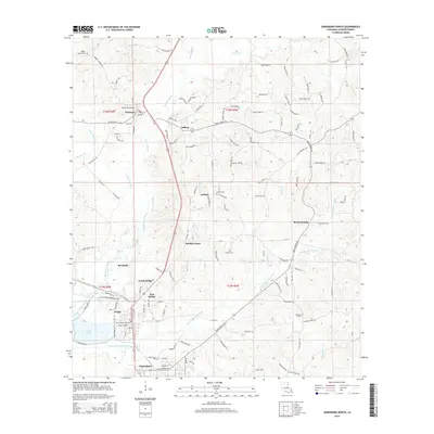 2015 Jonesboro North2015 Print · USGSJackson Parish during the mid-2010s shows a landscape of industrial river towns and sprawling rural settlements. Researchers can trace family history through numerous landmarks like Saint Henrys Cem or locate community hubs in Punkin Center and Quitman.
 - 2015 Map of Mount Olive, 2015 Print
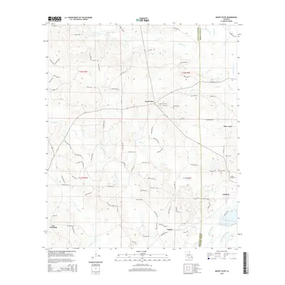 2015 Mount Olive2015 Print · USGSThe crossroads of North Louisiana come into focus during this mid-2010s survey of the Bienville Parish and Jackson Parish border. Researchers can trace family history through sites like Mount Olive Cem and the small settlements of New Friendship and English.
 - 2015 Map of Vixen, 2015 Print
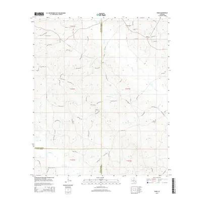 2015 Vixen2015 Print · USGSCaldwell Parish and its neighboring timberlands come into focus in this mid-2010s study of the Louisiana interior. Researchers can trace the heritage of the Vixen area through rural landmarks like Palestine Cem, Hickory Springs Cem, and Hood Mill (Firetower Rd).
 - 2015 Map of Chatham SE, 2015 Print
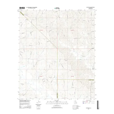 2015 Chatham SE2015 Print · USGSThe rural borderlands of Ouachita, Jackson, and Caldwell Parishes are shown in the mid-2010s, where small timber-country settlements still anchor the landscape. Genealogists can trace family footprints through sites like Phantom Chapel Cem and named thoroughfares such as Jack Crowell Rd.
 - 2015 Map of Jonesboro South, 2015 Print
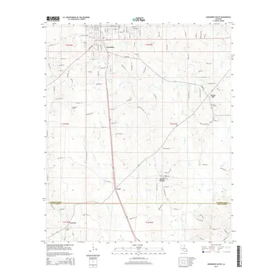 2015 Jonesboro South2015 Print · USGSJackson and Winn Parish come together in this 2010s survey of the North Louisiana timberlands and rural communities. Genealogists and historians can trace family ties at the Jonesboro Cem, Gansville, and the remote Siloam Springs Cem.
 - 2015 Map of Womack, 2015 Print
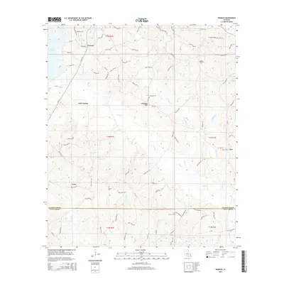 2015 Womack2015 Print · USGSThe rural timberlands of Jackson Parish are captured here during a time of steady growth near Caney Cr Reservoir. Genealogists can trace family roots through numerous local sites like Womack Cem, Lone Star Cem, and the community of Pleasant Hill.
 - 2015 Map of Weston, 2015 Print
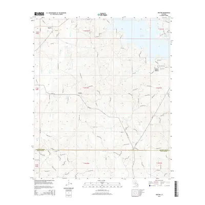 2015 Weston2015 Print · USGSNorth Louisiana timber country is captured here in the mid-2010s, showing the rural communities of Weston and Walker. Genealogists and local historians can trace burial sites at Mount Hebron Cem and Transport Cem near the Winn Parish line.
 - 2015 Map of Chatham, 2015 Print
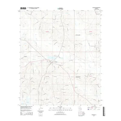 2015 Chatham2015 Print · USGSChatham and its surrounding Jackson Parish woodlands are documented here during the mid-2010s. Researchers can locate numerous local landmarks and burial sites, including Chatham Lake, Wood Junction, and Mount Moriah Cem.
 - 2015 Map of Wilson Creek, 2015 Print
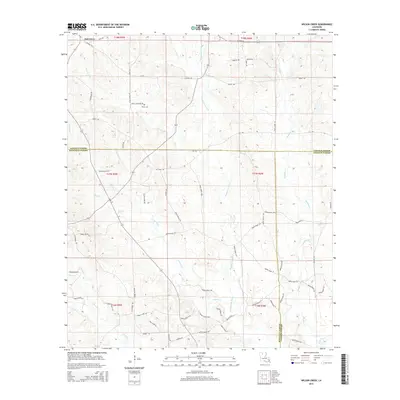 2015 Wilson Creek2015 Print · USGSNorth Louisiana timberlands and parish borders are finely detailed in the mid-2010s, showing where Lincoln, Bienville, and Jackson Parishes meet. Local researchers can trace family sites like Pruitt Cem or follow the winding courses of the Dugdemona River and Wilson Creek.
 - 2015 Map of Clay, 2015 Print
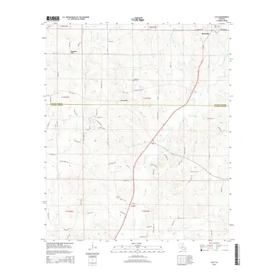 2015 Clay2015 Print · USGSThe borderlands of Lincoln and Jackson Parish appear here in the mid-2010s, showing a rural landscape of creek-fed bottomlands. Researchers can trace local heritage through sites like Wesley Chapel Cemetery and settlements like Clay and Ansley.
 - 2015 Map of Vernon, 2015 Print
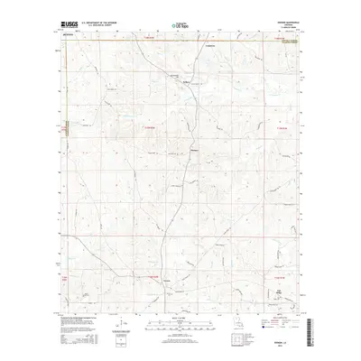 2015 Vernon2015 Print · USGSJackson Parish rural life is preserved here in the mid-2010s, showing the enduring boundaries between Lincoln and Jackson Parishes. Genealogists can locate several local burial grounds like Ebenezer Cem and Oak Ridge Cem near the settlements of Vernon and Kelleys.
Showing maps 1-25 of 42
Top cities of Jackson Parish
- Jonesboro historical maps
- Chatham historical maps
- Hodge historical maps
- North Hodge historical maps
- East Hodge historical maps
- Eros historical maps
See more
Frequently asked questions
- What are the different types of historical maps available for Jackson Parish?
- What is the oldest map of Jackson Parish?
- Where can I purchase historical maps of Jackson Parish for my home or office?
- Where can I download high-res historical maps of Jackson Parish?
- Are there historical topographic maps available for Jackson Parish?
- Is there historical aerial imagery available for Jackson Parish?
- Where are historical maps of Jackson Parish sourced from?