2020s Maps of Jackson Parish, Louisiana
Explore 28 historic maps of Jackson Parish from the 2020s. These maps offer a rare glimpse into what life looked like during the 2020s — showing old roads, neighborhoods, homes, and landmarks that have changed or disappeared over time.
Whether you're researching your family's past, planning a metal detecting trip, or studying how Jackson Parish's landscape evolved across the 2020s, these high-resolution maps are a powerful tool for exploring the history of this region.
- Focus on a specific era: All maps on this page are from the 2020s, giving you a focused view of this time period.
- See what’s changed: Compare century-old streets, trails, and buildings to today's modern landscape using overlays and satellite layers.
- Research with precision: Use these maps for genealogy, historical research, land use analysis, or educational projects.
- View, download, or print: Maps are fully viewable online in high resolution, and can be downloaded or printed for your own records.
Start exploring Jackson Parish's history through authentic maps from the 2020s. This is your window into the past.
Jackson Parish, LA maps
(28)- 2020 Map of Womack, 2020 Print
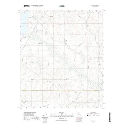 2020 Womack2020 Print · USGSLouisiana's Jackson and Winn Parish borderlands are mapped here in the modern era, showing a landscape defined by timber tracts and creek-fed valleys. Researchers can trace local heritage through numerous burial sites like Zoar Cem and Lone Star Cem, or locate old settlements at Gulf Crossing and Womack.
 - 2020 Map of Chatham, 2020 Print
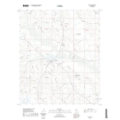 2020 Chatham2020 Print · USGSJackson Parish comes into focus in the early twenty-first century, centered on the lakeside town of Chatham. Local history researchers can trace family landmarks and rural settlements through numerous sites like Mount Moriah, Old Bethel Cem, and Wood Junction.
 - 2020 Map of Clay, 2020 Print
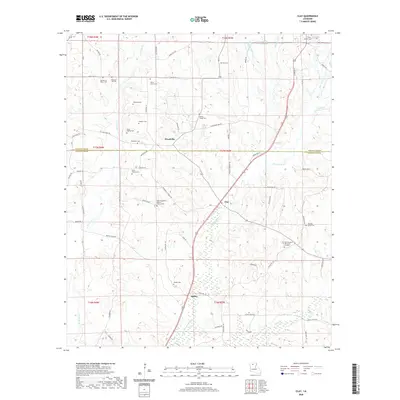 2020 Clay2020 Print · USGSThis northern Louisiana landscape straddling the Lincoln and Jackson Parish line shows a settled rural corridor in the early twenty-first century. Genealogists can trace deep family roots through numerous burial sites like China Grove Cem, Sanders Cem, and the community of Woodville.
 - 2020 Map of Wilson Creek, 2020 Print
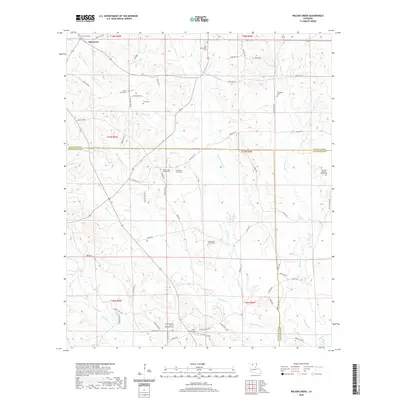 2020 Wilson Creek2020 Print · USGSNorth Louisiana's parish boundaries meet amidst the piney woods and creek bottoms in the early 2000s. Genealogists can trace family heritage through isolated sites like the Pennington Family Cem and the Old Fellowship Cem near the Dugdemona River.
 - 2020 Map of Jonesboro South, 2020 Print
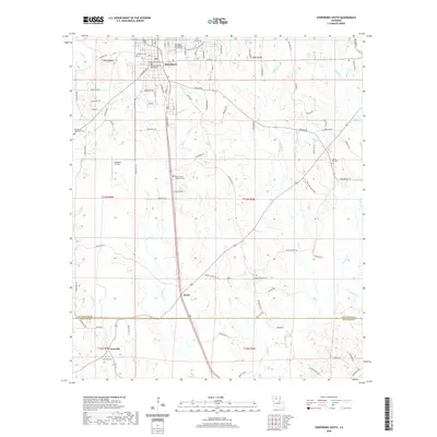 2020 Jonesboro South2020 Print · USGSJackson Parish in the early 2020s remains a landscape of traditional communities and numerous family burial grounds. Local historians can trace the geography of Jonesboro down to Gansville, locating landmarks like the Jackson Parish Courthouse and Siloam Church.
 - 2020 Map of Chatham SE, 2020 Print
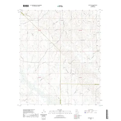 2020 Chatham SE2020 Print · USGSNorth Louisiana's parish boundaries and wetland creek systems are meticulously recorded in this recent survey of the area south of Anabel. Researchers can trace local heritage through numerous burial sites and rural junctions including Mount Olive Church Cem, Tama, and Griffin Cem.
 - 2020 Map of Vixen, 2020 Print
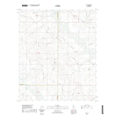 2020 Vixen2020 Print · USGSCaldwell Parish and its neighboring uplands are shown in detail during the 2020s, revealing a landscape shaped by rural parish roads and creek drainages. Researchers can locate family landmarks like Old New Church Cem, Palestine Cem, and the community of Vixen.
 - 2020 Map of Jonesboro North, 2020 Print
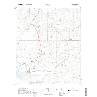 2020 Jonesboro North2020 Print · USGSIn the piney woods of northern Louisiana, this 2020 survey reveals a landscape shaped by the Dugdemona River and settled around historic parish crossroads. Genealogists can trace family roots through numerous local burial sites including Sweetwater Baptist Church Cem, Saint Henrys Cem, and Antioch Cem.
 - 2020 Map of Danville, 2020 Print
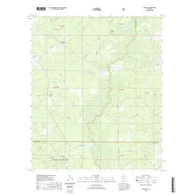 2020 Danville2020 Print · USGSNorth Louisiana's timberlands and parish corners come into focus in this recent survey of Bienville and Jackson Parishes. Genealogists and local historians can trace family roots at Liles Family Cem and Danville Cem or follow the waters of the Dudemona River.
 - 2020 Map of Weston, 2020 Print
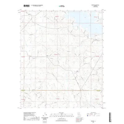 2020 Weston2020 Print · USGSJackson Parish and the community of Walker appear in this recent survey of North Louisiana's creek-laced timberlands. Genealogists and local historians can locate several rural burial grounds including Mount Hebron Cem and Transport Cem.
 - 2020 Map of Eros, 2020 Print
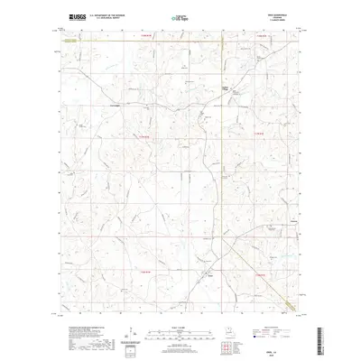 2020 Eros2020 Print · USGSJackson Parish and its neighboring borders are documented here in 2020, showing the rural communities and parish lines of northern Louisiana. Genealogists can locate several family landmarks and burial sites, including the Indian Village Cem, Plum Hill Church Cem, and Old Zeigler Cem.
 - 2020 Map of Mount Olive, 2020 Print
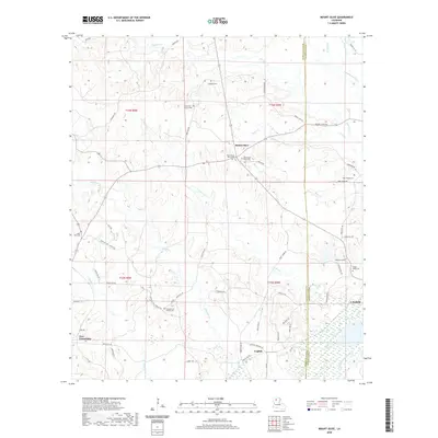 2020 Mount Olive2020 Print · USGSNorth Louisiana timberlands and the Dugdemona River bottomlands define this rural landscape during the early twenty-first century. Researchers can trace family history through several local landmarks including Mount Olive, New Friendship, and the Sand Hill Church Cem.
 - 2020 Map of Curr Creek, 2020 Print
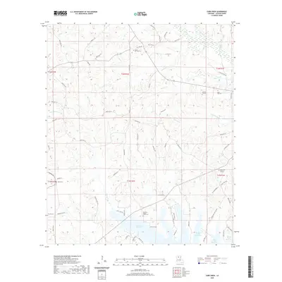 2020 Curr Creek2020 Print · USGSJackson Parish in the twenty-first century is defined by its timbered hills and the expansive Caney Creek Reservoir. Genealogists and historians can trace local family lineages through numerous burial sites including Ebenezer Baptist Church Cem, Hebron Cem, and Saint Clair Cem.
 - 2020 Map of Vernon, 2020 Print
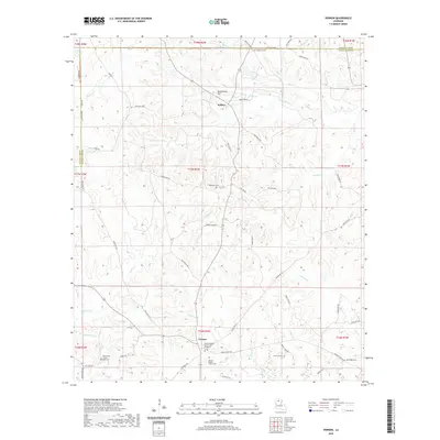 2020 Vernon2020 Print · USGSThe rural borderlands of Lincoln and Jackson Parishes are detailed here in the 2020s, showing a landscape rich with family history and remote settlements. Genealogists can locate numerous historic burial sites, including Ebenezer Cem, Longstraw Cem, and the dual grounds of Vernon Baptist Church Cem.
 - 2024 Map of Womack, 2024 Print
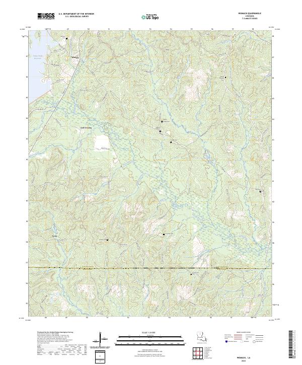 2024 Womack2024 Print · USGSJackson and Winn Parish lands are captured here in a moment of quiet rural continuity within the North Louisiana timberlands. Genealogists can trace family ties through numerous remote burial sites like Tippen Chapel Cem, Dothan Cem, and Lone Star Cem.
 - 2024 Map of Vernon, 2024 Print
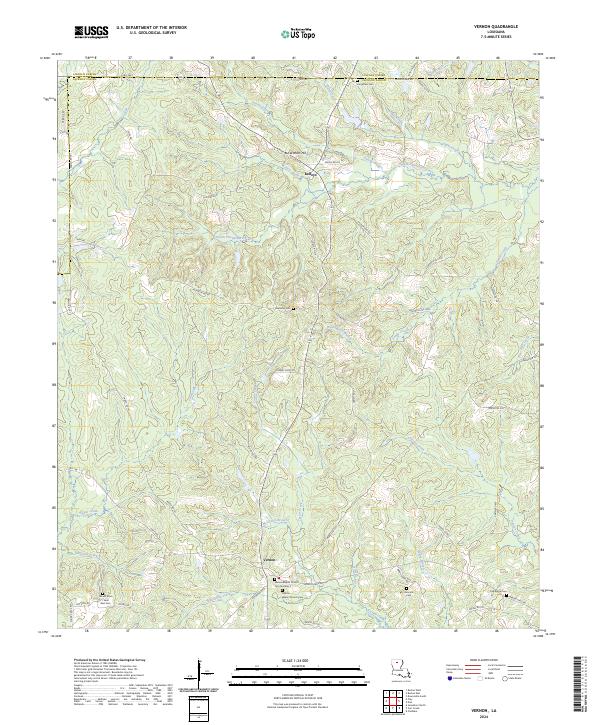 2024 Vernon2024 Print · USGSJackson Parish and Lincoln Parish are documented in this recent survey, capturing the rural character of North Louisiana. Genealogists can locate several family burial sites, including Hancock Cem, Oak Ridge Cem, and Mount-Zion Saint Rest Cem.
 - 2024 Map of Clay, 2024 Print
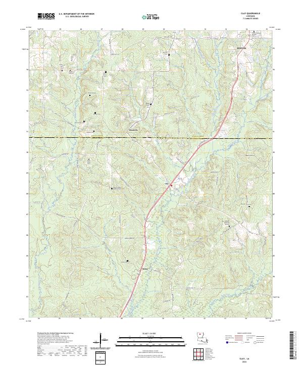 2024 Clay2024 Print · USGSJackson and Lincoln Parish life is documented here in the early twenty-first century, centered on the communities of Clay and Woodville. Researchers can locate numerous family burial sites and landmarks like the Wilson Marker and Bond Family Cem.
 - 2024 Map of Mount Olive, 2024 Print
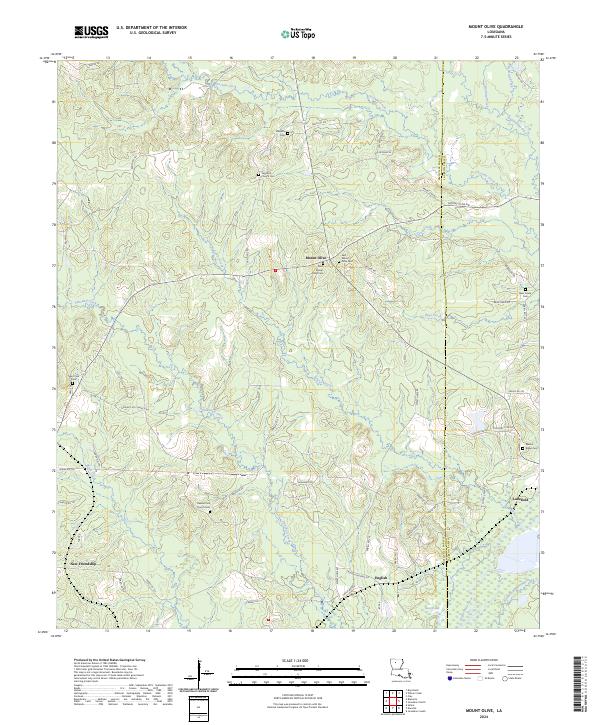 2024 Mount Olive2024 Print · USGSThe rural piney woods of Bienville and Jackson Parishes are detailed here during the mid-2020s, showing a community defined by its quiet settlements and winding waterways. Researchers can trace local lineage through numerous landmarks like Dawkins Cem, New Friendship, and the banks of the Dugdemona River.
 - 2024 Map of Wilson Creek, 2024 Print
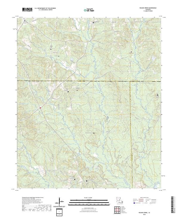 2024 Wilson Creek2024 Print · USGSLouisiana's hill country at the border of Bienville, Lincoln, and Jackson Parishes is shown here in the modern era. Researchers can locate remote family burial sites like Pennington Family Cem and historic congregations at Mount Calm Church.
 - 2024 Map of Vixen, 2024 Print
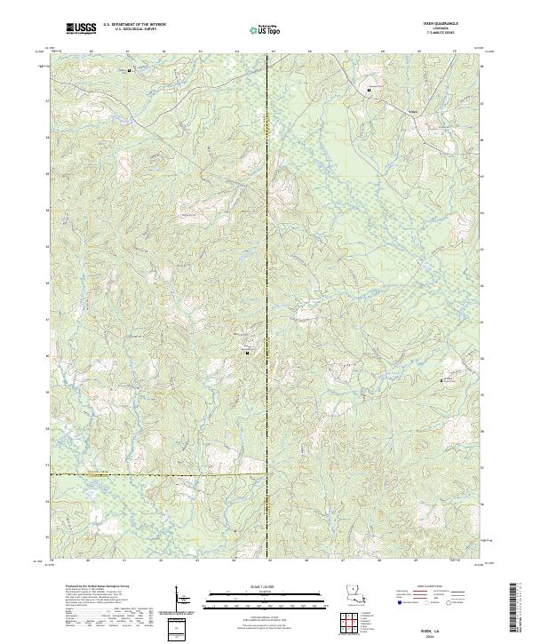 2024 Vixen2024 Print · USGSCaldwell and Jackson Parishes are mapped here in the modern era, showing a landscape defined by timber access and quiet rural settlements. Researchers can locate family landmarks like Asberry Cem, Palestine Cem, and the community of Vixen.
 - 2024 Map of Jonesboro South, 2024 Print
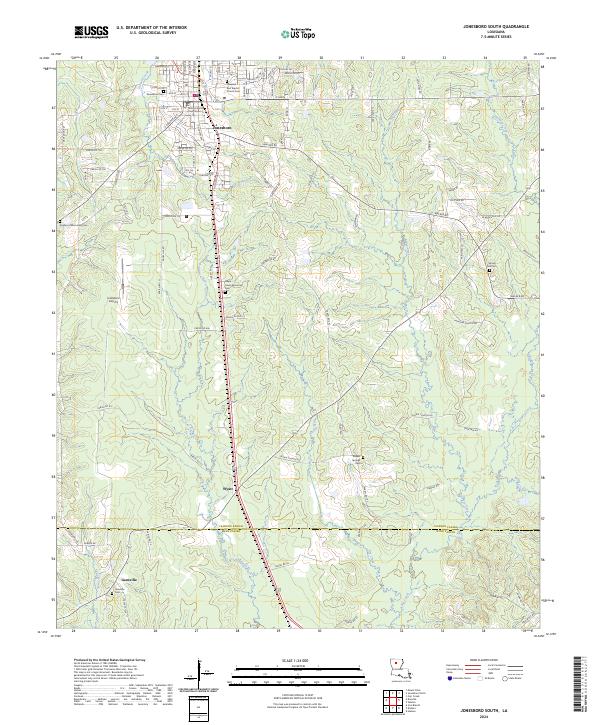 2024 Jonesboro South2024 Print · USGSNorthern Louisiana at the start of the 2020s shows a landscape of timbered hills and rural parishes. Researchers can trace family sites at Garden of Memories Cemetery and Spring Hill Cemetery, or locate the Jackson Parish Courthouse in Jonesboro.
 - 2024 Map of Chatham, 2024 Print
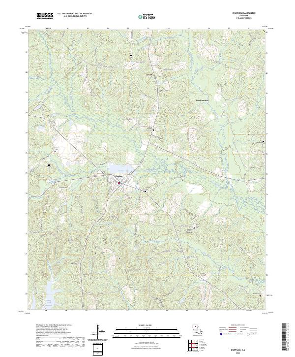 2024 Chatham2024 Print · USGSThe community of Chatham and its surrounding Jackson Parish wetlands are captured in the 2020s. Local researchers can trace family roots at Old Bethel Cem or Mount Moriah Cem, and locate landmarks near Chatham Lake and Wood Junction.
 - 2024 Map of Curr Creek, 2024 Print
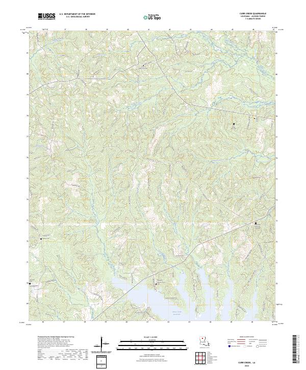 2024 Curr Creek2024 Print · USGSJackson Parish is mapped here in the contemporary era, showing a landscape shaped by the Caney Creek Reservoir and the Little Dugdemona River. Genealogists can locate several historic burial sites including Old Saint Clair Cem, Hebron Cem, and Zion Rest Cem.
 - 2024 Map of Weston, 2024 Print
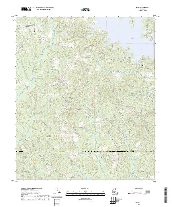 2024 Weston2024 Print · USGSJackson Parish at the transition into Winn Parish is shown here as a landscape of creeks and small settlements. Genealogists can trace family locations near Midway Baptist Cem, Weston, and the northern edges of Hurricane Creek.
 - 2024 Map of Eros, 2024 Print
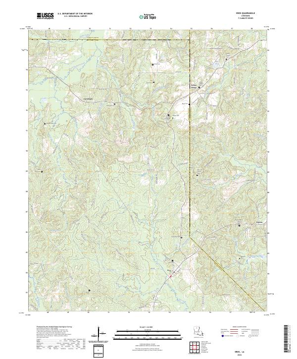 2024 Eros2024 Print · USGSNorth Louisiana’s Jackson Parish remains a landscape of small communities and family legacies in this recent survey. Genealogists can trace deep local roots through a high density of rural burial grounds like Old Zeigler Cem, Indian Village Cem, and Bonett Cem.
Showing maps 1-25 of 28
Top cities of Jackson Parish
- Jonesboro historical maps
- Chatham historical maps
- Hodge historical maps
- North Hodge historical maps
- East Hodge historical maps
- Eros historical maps
See more
Frequently asked questions
- What are the different types of historical maps available for Jackson Parish?
- What is the oldest map of Jackson Parish?
- Where can I purchase historical maps of Jackson Parish for my home or office?
- Where can I download high-res historical maps of Jackson Parish?
- Are there historical topographic maps available for Jackson Parish?
- Is there historical aerial imagery available for Jackson Parish?
- Where are historical maps of Jackson Parish sourced from?