Old Maps of Bayou Boeuf, Louisiana for Metal Detecting
Plan your next treasure hunt with 16 historic maps of Bayou Boeuf. Find old homesites, ghost towns, trails, and gathering spots that may be lost to time — perfect for identifying promising metal detecting locations.
- Locate forgotten sites: Uncover places like long-lost settlements, abandoned rail lines, or gathering spots.
- Plan better hunts: Use map overlays combined with LiDAR or satellite views to narrow in on historically rich areas.
- Made for detectorists: Thousands of hobbyists use these maps to discover relics, coins, and hidden history.
Use these historic maps to boost your research and find new opportunities beneath the surface of Bayou Boeuf.
Bayou Boeuf, LA maps
(16)- 1892 Map of Lac Des Allemands
 1892 Lac Des Allemands1892 Print · USGSCoastal Louisiana at the end of the nineteenth century is defined by its massive marsh basins and early rail corridors. Researchers can trace the original routes of the Southern Pacific Railroad and locate specific sites like the Indian Mound or Raceland Station.4 unique versions available
 - 1932 Map of Lac Des Allemands SE
 1932 Lac Des Allemands SE1932 Print · USGSLafourche Parish and the surrounding marshlands are captured in the early 1930s as modern transit began following old rail lines. Researchers can trace the legacy of the sugar and transport economy through landmarks like Roux, the Godchaux Canal, and St Lawrence Ch.
 - 1941 Map of Lac Des Allemands
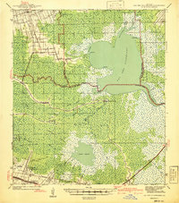 1941 Lac Des Allemands1941 Print · USGSLafourche Parish at the start of the 1940s reveals a water-bound economy of bayous, swamps, and sugar plantations. Genealogists and researchers can trace local church and school sites like St Lawrence Ch and Choctaw Sch alongside historic holdings such as Melodia Plantation.
 - 1944 Map of Lac Des Allemands
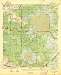 1944 Lac Des Allemands1944 Print · USGSThe swampy interface of St. James and Lafourche parishes comes alive in this mid-century survey of the Mississippi River delta. Genealogists can trace family roots at Golden Star Plantation, Webster Plantation, and community landmarks like St Lawrence Ch.2 unique versions available
 - 1945 Map of New Orleans
 1945 New Orleans1945 Print · USGSCoastal Louisiana and the Mississippi delta are captured here just after the war, showing the region's transition into a modern industrial and transit hub. Genealogists can trace family settlements along Bayou Teche or identify rail stops for the Illinois Central and Texas & Pacific lines.
 - 1962 Map of Bayou Boeuf, 1963 Print
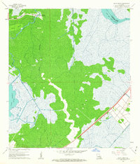 1962 Bayou Boeuf1963 Print · USGSThe wetlands of Lafourche Parish are captured here in the early sixties, showing a landscape defined by bayous and new industrial expansion. Researchers can trace the community around Bayou Boeuf, including St Lawrence Ch and a new Southern Pacific rail line.3 unique versions available
 - 1962 Map of Lac Des Allemands, 1966 Print
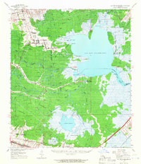 1962 Lac Des Allemands1966 Print · USGSCoastal Louisiana in the early sixties remains a world of sprawling plantations and deep cypress wetlands. Genealogists can trace family names at Southdown or Webster, and locate community landmarks like St Lawrence Ch and Choctaw Sch.2 unique versions available
 - 1963 Map of New Orleans
 1963 New Orleans1963 Print · USGSCoastal Louisiana in the mid-twentieth century reveals a complex world of bayou settlements, expanding oil fields, and vital rail networks. Genealogists and historians can trace family roots through river towns like Thibodaux or follow the Southern Pacific line through Franklin and Patterson.4 unique versions available
 - 1966 Map of New Orleans
 1966 New Orleans1966 Print · USGSCoastal Louisiana in the mid-1960s reveals a transition from traditional bayou life to an intensive offshore oil and gas economy. Researchers can trace the rail lines of the Southern Pacific RR through Morgan City or locate the Eugene Island Lighthouse among the delta's shifting marshes.
 - 1983 Map of New Orleans
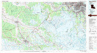 1983 New Orleans1983 Print · USGSSoutheast Louisiana in the early eighties reveals a landscape where the urban density of New Orleans meets the vast wetlands of the Salvador State Wildlife Management Area. Genealogists and historians can trace the traditional bayou settlements of Houma and Thibodaux alongside major rail lines like the Southern Pacific.2 unique versions available
 - 1998 Map of Bayou Boeuf, 2000 Print
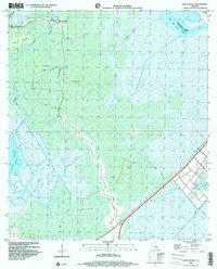 1998 Bayou Boeuf2000 Print · USGSThe wetlands of Lafourche and St. Charles Parishes come into focus in the late nineties, showing a landscape defined by water and industry. Genealogists can locate Bayou Boeuf (Kraemer PO), St Lawrence Ch, and family landmarks like Godchaux.
 - 2012 Map of Bayou Boeuf, 2012 Print
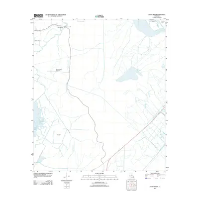 2012 Bayou Boeuf2012 Print · USGSLafourche Parish's wetlands are captured here in the early twenty-first century, showing a landscape defined by complex water management and the energy industry. Researchers can trace historic waterways like Bayou Chactimahan and locate family-named landmarks such as Dufrene Ponds and Martins Island.
 - 2015 Map of Bayou Boeuf, 2015 Print
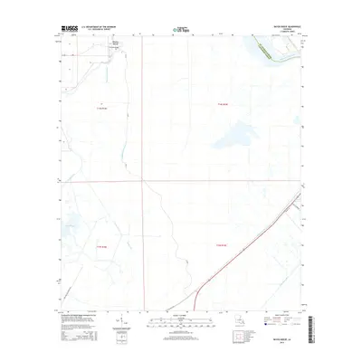 2015 Bayou Boeuf2015 Print · USGSCoastal Louisiana's wetlands and hydraulic systems are on full display in this recent look at the intersection of St. Charles and Lafourche parishes. Researchers can trace the engineering of the Bowie Canal or locate local landmarks like Kraemer Bridge and Lake Boeuf.
 - 2018 Map of Bayou Boeuf, 2018 Print
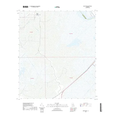 2018 Bayou Boeuf2018 Print · USGSThe Louisiana wetlands south of Raceland appear in high detail during the late 2010s, showcasing a landscape defined by water. Researchers can trace the junction of Bayou Boeuf and Bayou Chactimalian or locate the historic Kraemer Bridge.
 - 2020 Map of Bayou Boeuf, 2020 Print
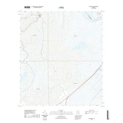 2020 Bayou Boeuf2020 Print · USGSThe community of Bayou Boeuf is captured here in the wetlands of Lafourche Parish during the early twenty-first century. Researchers can trace the drainage and transport networks of the delta, from the Kraemer Bridge to industrial waterways like Godchaux Canal.
 - 2024 Map of Bayou Boeuf, 2024 Print
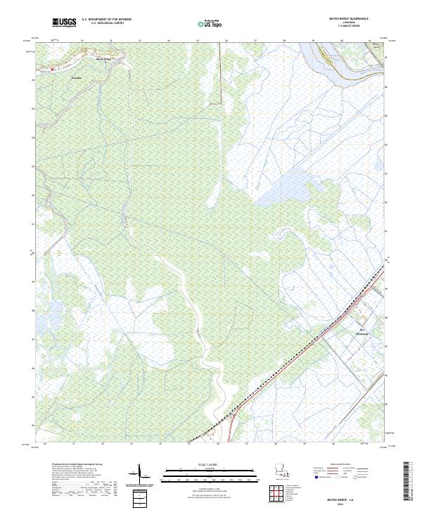 2024 Bayou Boeuf2024 Print · USGSIn the modern Louisiana wetlands, the border of Lafourche and St. Charles Parishes is defined by an intricate network of waterways. Researchers can trace the layout of Des Allemands and follow the paths of the Bowie Canal, Godchaux Canal, and Midway Canal.
End of results
Showing maps 1-16 of 16
Top cities near Bayou Boeuf
- LaPlace historical maps
- Thibodaux historical maps
- Lutcher historical maps
- Gramercy historical maps
- Lockport historical maps
Frequently asked questions
- What are the different types of historical maps available for Bayou Boeuf?
- What is the oldest map of Bayou Boeuf?
- Where can I purchase historical maps of Bayou Boeuf for my home or office?
- Where can I download high-res historical maps of Bayou Boeuf?
- Are there historical topographic maps available for Bayou Boeuf?
- Is there historical aerial imagery available for Bayou Boeuf?
- Where are historical maps of Bayou Boeuf sourced from?