Old Maps of LaSalle Parish, Louisiana for Genealogy
Trace your family roots with 57 historic maps of LaSalle Parish. These high-res maps reveal old neighborhoods, homesites, landmarks, and streets — helping you uncover where your ancestors lived and how the area evolved over time.
- Explore historic neighborhoods: Identify where your relatives may have lived in the 1800s or 1900s.
- Compare maps over time: Trace the changes in streets, buildings, and landmarks for multi-generational research.
- Perfect for genealogy & ancestry research: Used by family historians and researchers to map out lineage and migration.
These maps are an incredible resource for exploring your personal connection to LaSalle Parish's past.
LaSalle Parish, LA maps
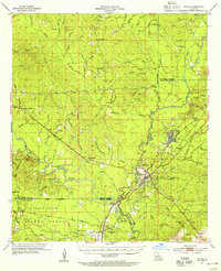
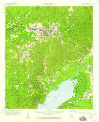
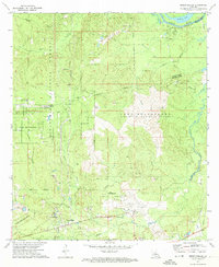
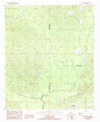
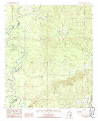
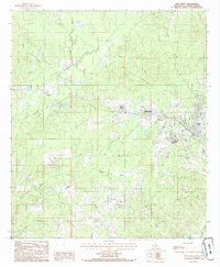
(57)- 1936 Map of Pollock
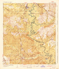 1936 Pollock1936 Print · USGSCovers LaSalle Parish, including Pollock, Georgetown, and other nearby areas2 unique versions available
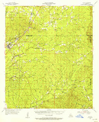
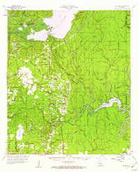
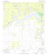
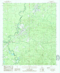
 - 1941 Map of Jena, 1943 Print
 1941 Jena1943 Print · USGSCovers LaSalle Parish, including Jena, Magnolia, and other nearby areas
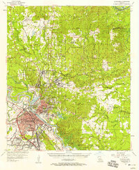
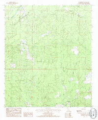
 - 1941 Map of Alexandria, 1944 Print
 1941 Alexandria1944 Print · USGSCovers LaSalle Parish, including Alexandria, Pineville, and other nearby areas
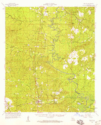
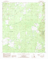
 - 1941 Map of Buckeye, 1944 Print
 1941 Buckeye1944 Print · USGSCovers LaSalle Parish, including Deville, Buckeye, and other nearby areas2 unique versions available
 - 1941 Map of Pollock, 1944 Print
 1941 Pollock1944 Print · USGSCovers LaSalle Parish, including Pollock, Georgetown, and other nearby areas2 unique versions available
 - 1953 Map of Alexandria, 1963 Print
 1953 Alexandria1963 Print · USGSCovers LaSalle Parish, including Alexandria, Natchitoches, and other nearby areas3 unique versions available
 - 1954 Map of Tullos, 1955 Print
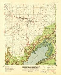
 1954 Tullos1955 Print · USGSCovers LaSalle Parish, including Olla, Urania, and other nearby areas4 unique versions available
 - 1955 Map of Alexandria
 1955 Alexandria1955 Print · USGSCovers LaSalle Parish, including Alexandria, Natchitoches, and other nearby areas
 - 1955 Map of Olla, 1956 Print
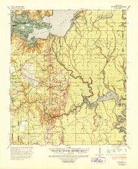
 1955 Olla1956 Print · USGSCovers LaSalle Parish, including Olla, Spaulding, and other nearby areas3 unique versions available
 - 1957 Map of Alexandria, 1958 Print
 1957 Alexandria1958 Print · USGSCovers LaSalle Parish, including Alexandria, Pineville, and other nearby areas2 unique versions available
 - 1958 Map of Pollock, 1959 Print
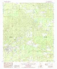
 1958 Pollock1959 Print · USGSCovers LaSalle Parish, including Pollock, Georgetown, and other nearby areas3 unique versions available
 - 1958 Map of Jena, 1959 Print
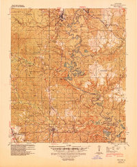
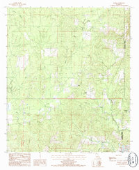
 1958 Jena1959 Print · USGSCovers LaSalle Parish, including Jena, Magnolia, and other nearby areas2 unique versions available
 - 1959 Map of Buckeye, 1960 Print
 1959 Buckeye1960 Print · USGSCovers LaSalle Parish, including Deville, Buckeye, and other nearby areas2 unique versions available
 - 1972 Map of Buckeye NE, 1974 Print
 1972 Buckeye NE1974 Print · USGSCovers LaSalle Parish, including Rapides Parish, Catahoula Parish, and other nearby areas2 unique versions available
 - 1972 Map of Holloway, 1974 Print
 1972 Holloway1974 Print · USGSCovers LaSalle Parish, including Deville, Holloway, and other nearby areas3 unique versions available
 - 1972 Map of Green Gables, 1974 Print
 1972 Green Gables1974 Print · USGSCovers LaSalle Parish, including Pineville, Ball, and other nearby areas2 unique versions available
 - 1972 Map of Powell Point, 1974 Print
 1972 Powell Point1974 Print · USGSCovers LaSalle Parish, including Rapides Parish, Avoyelles Parish, and other nearby areas3 unique versions available
 - 1984 Map of Summerville, 1985 Print
 1984 Summerville1985 Print · USGSCovers LaSalle Parish, including Olla, Summerville, and other nearby areas
 - 1984 Map of Holum, 1985 Print
 1984 Holum1985 Print · USGSCovers LaSalle Parish, including Holum, Caldwell Parish, and other nearby areas
 - 1984 Map of Olla West, 1985 Print
 1984 Olla West1985 Print · USGSCovers LaSalle Parish, including Olla, Urania, and other nearby areas
 - 1984 Map of Olla East, 1985 Print
 1984 Olla East1985 Print · USGSCovers LaSalle Parish, including Olla, Spaulding, and other nearby areas
 - 1984 Map of Nickel, 1985 Print
 1984 Nickel1985 Print · USGSCovers LaSalle Parish, including Nickel, Catahoula Parish, and other nearby areas
 - 1984 Map of Tullos, 1985 Print
 1984 Tullos1985 Print · USGSCovers LaSalle Parish, including Urania, Tullos, and other nearby areas
 - 1985 Map of Little Creek
 1985 Little Creek1985 Print · USGSCovers LaSalle Parish, including Ganeyville, Little Creek, and other nearby areas
 - 1985 Map of Jena West
 1985 Jena West1985 Print · USGSCovers LaSalle Parish, including Jena, Good Pine, and other nearby areas
Showing maps 1-25 of 57
Top cities of LaSalle Parish
Frequently asked questions
- What are the different types of historical maps available for LaSalle Parish?
- What is the oldest map of LaSalle Parish?
- Where can I purchase historical maps of LaSalle Parish for my home or office?
- Where can I download high-res historical maps of LaSalle Parish?
- Are there historical topographic maps available for LaSalle Parish?
- Is there historical aerial imagery available for LaSalle Parish?
- Where are historical maps of LaSalle Parish sourced from?