Old Maps of LaSalle Parish, Louisiana for Academic Research
Study the evolution of LaSalle Parish with 125 high-resolution historic maps. Whether you're teaching, researching, or modeling changes in land use, these maps provide essential visual documentation of urban, environmental, and geographic change.
- Analyze long-term change: Track patterns in development, transportation, and natural features.
- Ideal for environmental or urban studies: Support academic projects with primary historical map data.
- Use in the classroom or lab: Educators and researchers rely on these maps to bring historical context to life.
These maps are a powerful tool for teaching, research, and visualizing how LaSalle Parish has changed over the decades.
LaSalle Parish, LA maps
(125)- 1936 Map of Pollock
 1936 Pollock1936 Print · USGSThe Grant Parish pine woods and the winding Little River bottomlands are captured here in the mid-1930s. Researchers can locate vanished rural schoolhouses like Thayer Sch, early rail stops at Antonia and Sand Spur, and many family burial grounds including Pine Bluff Cem.2 unique versions available
 - 1941 Map of Jena, 1943 Print
 1941 Jena1943 Print · USGSLa Salle Parish at the start of the 1940s shows a landscape of timber towns and lowland lakes. Trace family roots at Fellowship Ch, see the industrial lines of the Louisiana & Arkansas RR, or locate old sites like Rhinehart and Nebo.
 - 1941 Map of Alexandria, 1944 Print
 1941 Alexandria1944 Print · USGSRapides and Grant Parishes are captured here in the early 1940s as massive military training grounds expanded alongside established rail towns. Trace the footprints of Camp Livingston and Camp Beauregard or locate local landmarks like the Philadelphia Ch and Kolin.
 - 1941 Map of Buckeye, 1944 Print
 1941 Buckeye1944 Print · USGSCentral Louisiana’s wetland and prairie interface is captured here in the early 1940s, showing the intricate water systems of the Rapides and La Salle parish lines. Genealogists can locate family landmarks like Barron Chapel, Guillory School, and the settlement of Holloway.2 unique versions available
 - 1941 Map of Pollock, 1944 Print
 1941 Pollock1944 Print · USGSGrant and La Salle Parishes are defined by the winding oxbows of the Little River and a thriving rail-and-timber network in the early 1940s. Genealogists can trace family roots at Pinebluff Cem, Hawthorne Cem, or the small settlement at Antonia.2 unique versions available
 - 1953 Map of Alexandria, 1963 Print
 1953 Alexandria1963 Print · USGSCentral Louisiana during the early fifties is mapped here at the intersection of the piney woods and the Red River valley. Genealogists and historians can trace the rail-and-river network connecting towns like Alexandria, Natchitoches, and the grounds of Camp Beauregard.3 unique versions available
 - 1954 Map of Tullos, 1955 Print
 1954 Tullos1955 Print · USGSLouisiana's timber and oil heartland comes to life in this mid-century survey of LaSalle and Winn Parishes. Genealogists and researchers can trace family roots through numerous rural landmarks like Zion Hill Ch, Adams Cem, and the rail settlements of Urania and Tullos.4 unique versions available
 - 1955 Map of Alexandria
 1955 Alexandria1955 Print · USGSCentral Louisiana in the mid-fifties is a landscape of river-port cities, sprawling timberlands, and massive military reservations. Genealogists and historians can trace the rail networks of the Texas & Pacific RR and locate sites like Camp Polk Military Reservation and Natchitoches.
 - 1955 Map of Olla, 1956 Print
 1955 Olla1956 Print · USGSThe Missouri Pacific Railroad and Bayou Funny Louis defined central Louisiana life in the mid-1950s. Genealogists and local historians can trace family roots through numerous sites like Kelly Sch, Aimwell Ch, and the Davis Cem.3 unique versions available
 - 1957 Map of Alexandria, 1958 Print
 1957 Alexandria1958 Print · USGSThe Red River valley in the late fifties shows the post-war growth of Alexandria and Pineville amidst a landscape of military and state institutions. Genealogists and historians can locate dozens of neighborhood schools, cemeteries like Sardis Cem, and the early layout of Camp Beauregard.2 unique versions available
 - 1958 Map of Pollock, 1959 Print
 1958 Pollock1959 Print · USGSCentral Louisiana in the late fifties shows a landscape of parish river-crossings and timber-country rail lines. Researchers can trace the river landings at Thompson Ferry, the early infrastructure of Camp Hardtner, and rural life around White Sulphur Springs.3 unique versions available
 - 1958 Map of Jena, 1959 Print
 1958 Jena1959 Print · USGSLaSalle Parish timber and oil operations are in full swing during the late fifties, centered on the junction of the Louisiana and Arkansas Railway and the town of Jena. Researchers can trace family ties at the Nebo Sch, Searcy Cem, and the worker housing at Webb Quarters.2 unique versions available
 - 1959 Map of Buckeye, 1960 Print
 1959 Buckeye1960 Print · USGSLouisiana parish lines converge in this late-fifties landscape of complex bayous and oil fields. Researchers can trace rural family roots through numerous local landmarks like Marthas Chapel, Guillory Cem, and the old settlement of Buckeye.2 unique versions available
 - 1972 Map of Buckeye NE, 1974 Print
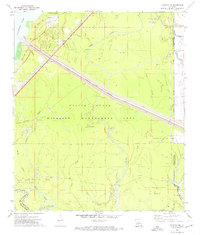 1972 Buckeye NE1974 Print · USGSLouisiana's deltaic wetlands are caught at a crossroads of conservation and industry in the early 1970s. Trace the complex waterworks of the Catahoula Lake Diversion Canal and locate historic drilling operations at the Cypress Bayou Oil Field.2 unique versions available
 - 1972 Map of Holloway, 1974 Print
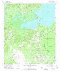 1972 Holloway1974 Print · USGSCentral Louisiana wetlands meet industrial expansion in the early 1970s as the Little River flows into the vast Catahoula Lake. Genealogists and local historians can trace the community of Holloway, locate Marthas Chapel, or follow the Old Railroad Grade through the bayous.3 unique versions available
 - 1972 Map of Green Gables, 1974 Print
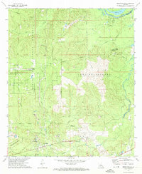 1972 Green Gables1974 Print · USGSRapides and Grant Parishes are captured in the early seventies, a landscape defined by the military grounds of Camp Beauregard and the Kisatchie National Forest. Researchers can trace the rural community of Green Gables, the airfield at ESLER FIELD, and local landmarks like Pheasant Grove Ch and Lofton Cem.2 unique versions available
 - 1972 Map of Powell Point, 1974 Print
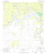 1972 Powell Point1974 Print · USGSLouisiana's river-and-bayou country is captured here in the early seventies, spanning four parish boundaries. Genealogists and historians can trace local landmarks like Deville Cem or explore the mid-century energy footprint of the Saline Lake Oil Field and West Saline Lake Oil Field.3 unique versions available
 - 1984 Map of Summerville, 1985 Print
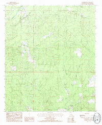 1984 Summerville1985 Print · USGSLaSalle Parish in the early 1980s reveals a landscape defined by the timbered basin of Funny Louis Bayou and active petroleum extraction. Researchers can trace the layout of small communities like Summerville and Franklin alongside a sprawling OIL AND GAS FIELD.
 - 1984 Map of Holum, 1985 Print
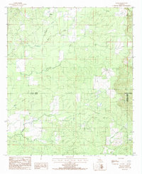 1984 Holum1985 Print · USGSCaldwell and La Salle Parishes in the mid-1980s are defined by their dense network of creeks and bayous. Researchers can trace the settlement at Holum and locate small family landmarks like the Cem tucked away near Funny Louis Bayou and Chickasaw Creek.
 - 1984 Map of Olla West, 1985 Print
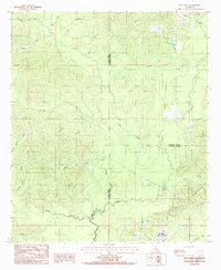 1984 Olla West1985 Print · USGSThe rural timberlands of Winn and La Salle parishes are captured in the mid-1980s just as these backcountry landscapes were being precisely surveyed. Researchers can trace the winding paths of Castor Creek, Yellow Jacket Creek, and the upland area of Richland.
 - 1984 Map of Olla East, 1985 Print
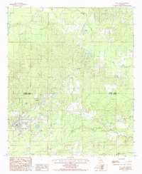 1984 Olla East1985 Print · USGSNorth central Louisiana during the 1980s shows a landscape still defined by its rail heritage and timbered creeks. Researchers can trace the Missouri Pacific line through Standard and Kelly, or locate landmarks like the Olla Airport and Lookout Tower.
 - 1984 Map of Nickel, 1985 Print
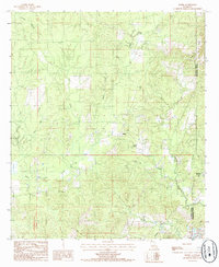 1984 Nickel1985 Print · USGSLa Salle and Catahoula Parishes are captured in the mid-1980s, showcasing a landscape of timber-driven history and small rural crossroads. Researchers can trace the Old Railroad Grade and locate old settlements like Nickel, Aimwell, and Salem.
 - 1984 Map of Tullos, 1985 Print
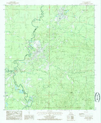 1984 Tullos1985 Print · USGSLa Salle Parish at the height of its mid-century oil and timber era is captured here, centered on the rail-linked towns of Tullos and Urania. Researchers can trace old transportation routes via Old R R Rd and locate several active Oil Field sites.
 - 1985 Map of Little Creek
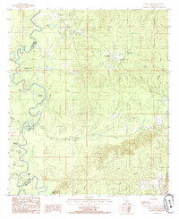 1985 Little Creek1985 Print · USGSThe Grant and La Salle Parish line comes alive in the mid-1980s, where the winding Little River meets a landscape of bayous and brakes. Researchers can trace the path of an Abandoned RR and locate old settlements like Zenoria and Little Creek.
 - 1985 Map of Jena West
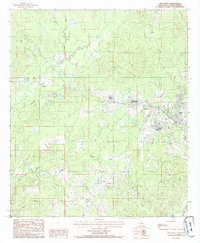 1985 Jena West1985 Print · USGSLaSalle Parish timber country comes into focus in the 1980s, centered on the western expansion of Jena. Genealogists and historians can trace old homesteads and the path of an Abandoned Railroad connecting Trout, Good Pine, and Webb Quarters.
Showing maps 1-25 of 125
Top cities of LaSalle Parish
Frequently asked questions
- What are the different types of historical maps available for LaSalle Parish?
- What is the oldest map of LaSalle Parish?
- Where can I purchase historical maps of LaSalle Parish for my home or office?
- Where can I download high-res historical maps of LaSalle Parish?
- Are there historical topographic maps available for LaSalle Parish?
- Is there historical aerial imagery available for LaSalle Parish?
- Where are historical maps of LaSalle Parish sourced from?