2010s Maps of LaSalle Parish, Louisiana
Explore 51 historic maps of LaSalle Parish from the 2010s. These maps offer a rare glimpse into what life looked like during the 2010s — showing old roads, neighborhoods, homes, and landmarks that have changed or disappeared over time.
Whether you're researching your family's past, planning a metal detecting trip, or studying how LaSalle Parish's landscape evolved across the 2010s, these high-resolution maps are a powerful tool for exploring the history of this region.
- Focus on a specific era: All maps on this page are from the 2010s, giving you a focused view of this time period.
- See what’s changed: Compare century-old streets, trails, and buildings to today's modern landscape using overlays and satellite layers.
- Research with precision: Use these maps for genealogy, historical research, land use analysis, or educational projects.
- View, download, or print: Maps are fully viewable online in high resolution, and can be downloaded or printed for your own records.
Start exploring LaSalle Parish's history through authentic maps from the 2010s. This is your window into the past.
LaSalle Parish, LA maps
(51)- 2012 Map of Nebo, 2012 Print
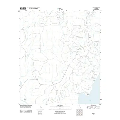 2012 Nebo2012 Print · USGSLaSalle Parish and the shores of Catahoula Lake are documented in the early twenty-first century, showing a landscape defined by oil production and rural bayous. Researchers can find numerous burial sites like Coon Cem and Whatley Cem, and trace the industrial footprint of the Rogers Oil Field.
 - 2012 Map of Summerville, 2012 Print
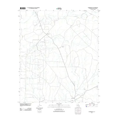 2012 Summerville2012 Print · USGSLaSalle Parish at the start of the decade reveals a landscape shaped by petroleum extraction and timber. Genealogists and researchers can trace local family landmarks and rural routes, from the Olla Oil Field to Summerville Cem and Bayou Funny Louis.
 - 2012 Map of Bird Island Point, 2012 Print
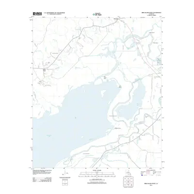 2012 Bird Island Point2012 Print · USGSLaSalle Parish wetlands and the northern reaches of the Catahoula basin are captured here in the early twenty-first century. Genealogists and researchers can locate several family cemeteries, including Chevallier Cem and Tidwell Cem, alongside the settlements of Whitehall and Sharp Town.
 - 2012 Map of Tullos, 2012 Print
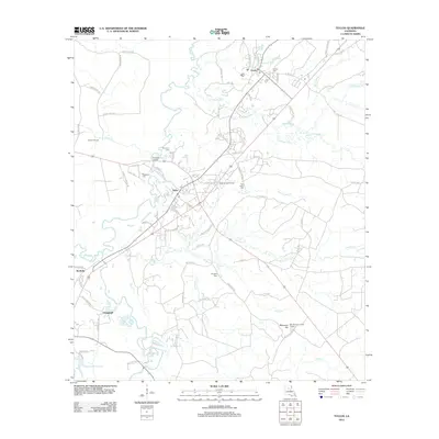 2012 Tullos2012 Print · USGSLaSalle Parish at the start of the 2010s shows a landscape defined by the Tullos Urania Oil Field and river bottomlands. Researchers can trace family sites at Pendarvis Cem or locate landmarks like the Bay Springs Lookout Tower.
 - 2012 Map of Little Creek, 2012 Print
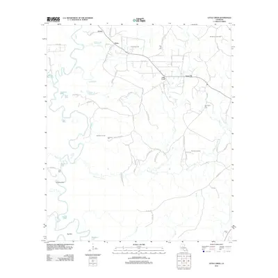 2012 Little Creek2012 Print · USGSLaSalle Parish at the start of the 2010s shows a landscape shaped by both the winding path of the Little River and a robust energy industry. Researchers can trace local lineage and land use through sites like Chalk Hill Cem, Little Creek, and the West Searcy Oil Field.
 - 2012 Map of Jena West, 2012 Print
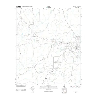 2012 Jena West2012 Print · USGSLaSalle Parish at the start of the 2010s shows a landscape defined by timber, oil extraction, and deep-rooted local communities. Genealogists can trace family connections at Belah Cemetery or Webster Cemetery and locate historic hubs like Trout and Webb Quarters.
 - 2012 Map of Buckeye NE, 2012 Print
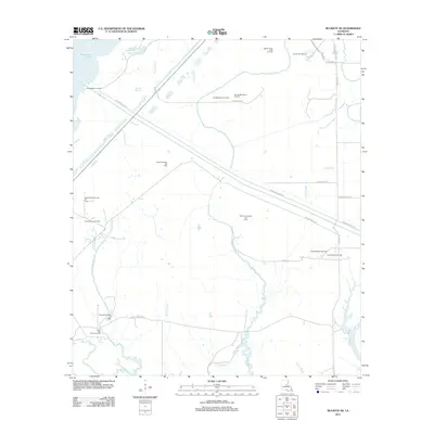 2012 Buckeye NE2012 Print · USGSRapides Parish is mapped here in the early twenty-first century, showcasing a landscape defined by wetlands and heavy industry. Researchers can trace the extensive network of energy sites like the West Saline Lake Oil Field and the Cypress Bayou Oil Field alongside the Catahoula Lake Diversion Canal.
 - 2012 Map of Jena East, 2012 Print
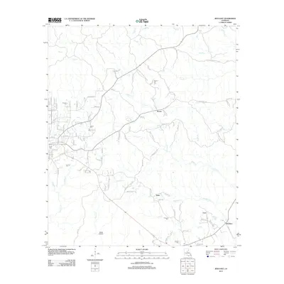 2012 Jena East2012 Print · USGSLaSalle Parish's eastern wetlands and rural reaches are documented in this 2012 survey during a period of steady residential growth. Genealogists can trace several local burial sites, including Jackson Cem and Pritchard Cem, while locating landmarks like Poverty Knob.
 - 2012 Map of Nickel, 2012 Print
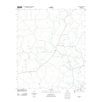 2012 Nickel2012 Print · USGSNickel and the surrounding LaSalle Parish countryside are shown here in the early 2010s as a landscape of rural tradition meeting modern industry. Researchers can trace local lineage through several sites like Antioch Cem, Wilbanks Cem, and the winding Bayou Funny Louis.
 - 2012 Map of Olla East, 2012 Print
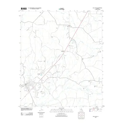 2012 Olla East2012 Print · USGSLaSalle Parish settlement and energy production are front and center in this early 21st-century survey. Researchers can locate numerous local burial grounds like Olla Cem and Good Hope Cem alongside industrial sites such as the Spaulding Gas Field.
 - 2012 Map of Holloway, 2012 Print
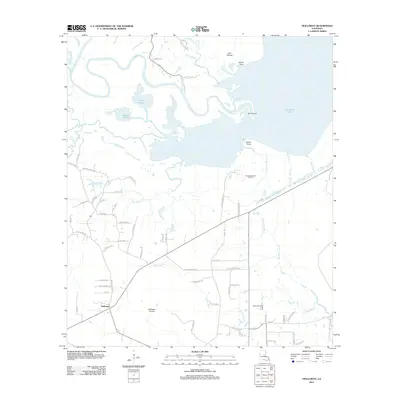 2012 Holloway2012 Print · USGSRapides Parish in the early 2010s reveals a landscape where central Louisiana's watery bayous meet family-named country roads. Genealogists and local historians can trace legacy tracts near Holloway and Holloway Prairie, or locate industrial sites like the South Catahoula Oil Field.
 - 2012 Map of Olla West, 2012 Print
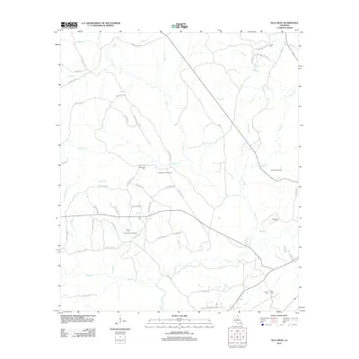 2012 Olla West2012 Print · USGSLaSalle Parish in the early 2010s reveals a landscape shaped by resource extraction and timber management. Genealogists and local historians can trace family ties through rural landmarks like Adams Cem, Whitehead Cem, and the Richland Creek Gas Field.
 - 2012 Map of Powell Point, 2012 Print
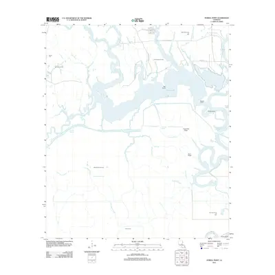 2012 Powell Point2012 Print · USGSRapides Parish's wetland interior is captured here in the early twenty-first century, showing a landscape defined by expansive bayous and petroleum extraction. Researchers can trace the layout of various energy sites like the Vick Oil Field and Big Island Oil Field alongside local landmarks such as Deville Cem and Saline Lake.
 - 2012 Map of Holum, 2012 Print
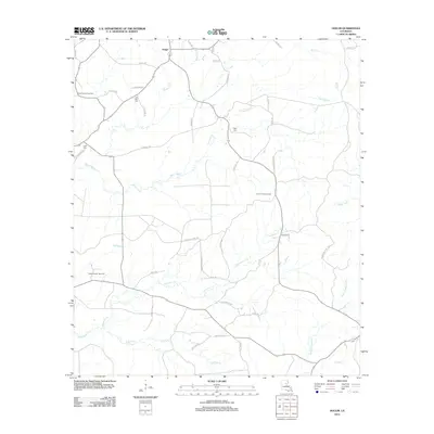 2012 Holum2012 Print · USGSCaldwell Parish at the start of the new millennium reveals a landscape of working timberlands and energy extraction. Genealogists and local historians can locate several family cemeteries, such as Lowe Cem and Little Star Cem, or trace the winding course of Bayou Funny Louis.
 - 2012 Map of Pollock, 2012 Print
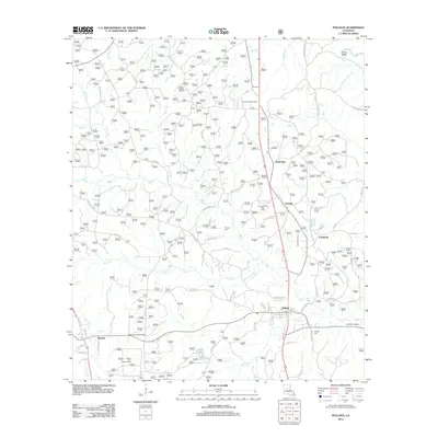 2012 Pollock2012 Print · USGSNorth Louisiana's timber and creek lands are surveyed here during the early twenty-first century. Family researchers can locate Pollock Cem and Guynes Cemetery, or trace rural communities like Antonia and Bentley near Stuart Lake.
 - 2012 Map of Fishville, 2012 Print
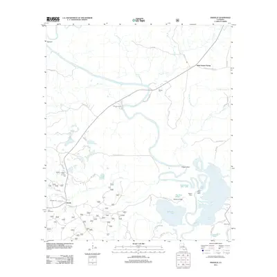 2012 Fishville2012 Print · USGSGrant Parish at the start of the 2010s reveals a landscape defined by the winding Little River and its intricate bayous. Researchers can trace local heritage at Whatley Cem, locate the grounds of Camp Mary Lee, or explore the riparian geography of Hardwater Lake.
 - 2012 Map of Green Gables, 2012 Print
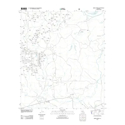 2012 Green Gables2012 Print · USGSCentral Louisiana's piney woods and bayous are documented here in the early twenty-first century. Genealogists and local historians can trace family markers at Clear Creek Cem and Lofton Cem or explore the area near Esler Regional Airport.
 - 2015 Map of Jena East, 2015 Print
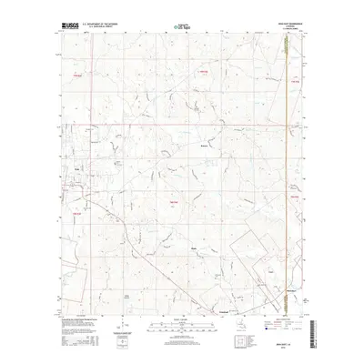 2015 Jena East2015 Print · USGSLaSalle Parish in the mid-2010s reveals a landscape of creek-side settlements and rural parish roads branching out from Jena. Genealogists can trace family history through numerous burial sites like Pleasant Hill Cem, Nolley Cem, and Moseley Cem.
 - 2015 Map of Olla East, 2015 Print
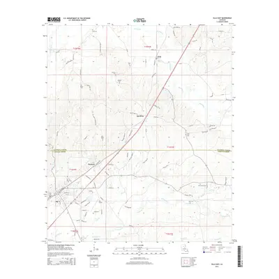 2015 Olla East2015 Print · USGSLaSalle and Caldwell Parishes meet in this 2015 survey of the piney woods and bayous. Genealogists can trace family sites at Saint Joseph Cem, Brown Cem, and Olla Cem near the communities of Standard and Kelly.
 - 2015 Map of Fishville, 2015 Print
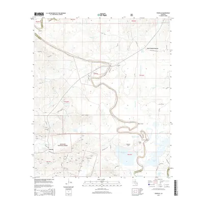 2015 Fishville2015 Print · USGSThe Grant and La Salle Parish borderlands come into focus in the mid-2010s, showing a landscape defined by the Kisatchie National Forest. Genealogists and local historians can trace family locations near White Sulphur Springs, Fishville, and Friendship Cemetery.
 - 2015 Map of Little Creek, 2015 Print
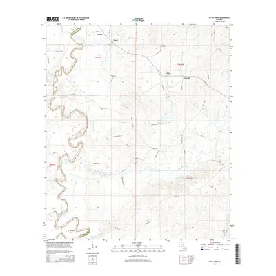 2015 Little Creek2015 Print · USGSLaSalle Parish and Grant Parish are captured here during the mid-2010s, showcasing the intricate bayous and oil fields of Central Louisiana. Researchers can trace family roots at Chalk Hill Cem and Dayton Cem or locate the old landing sites near Big Bend and Zenoria.
 - 2015 Map of Summerville, 2015 Print
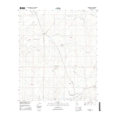 2015 Summerville2015 Print · USGSLaSalle Parish at the start of the twenty-first century shows a landscape of timber-lined creeks and small rural settlements. Researchers can locate several burial grounds including Taylor Chapel Cem and Summerville Cem, or trace the path of Bayou Funny Louis through the woods.
 - 2015 Map of Olla West, 2015 Print
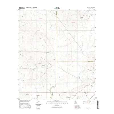 2015 Olla West2015 Print · USGSLaSalle and Winn Parishes are documented here in the mid-2010s, showing the rural communities surrounding the lumber town of Urania. Genealogists can locate family landmarks like Whitehead Cemetery and Kees Cemetery near the banks of Castor Creek.
 - 2015 Map of Buckeye NE, 2015 Print
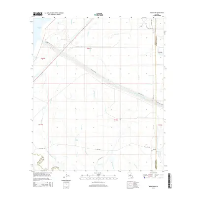 2015 Buckeye NE2015 Print · USGSThe marshy lowlands where the parish lines of Rapides and LaSalle meet are captured here in the mid-2010s. Local researchers can trace the engineering of the Catahoula Lake Diversion Canal or locate access points along Hunt Oil Rd and Dewey Wills WMA Rd.
 - 2015 Map of Bird Island Point, 2015 Print
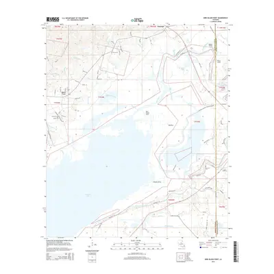 2015 Bird Island Point2015 Print · USGSThe LaSalle and Catahoula Parish line runs through this river-crossed landscape during the mid-2010s. Researchers can locate numerous family-named landmarks and burial grounds including Chevallier Cem, Miller Cem, and the community of Sharp Town.
Showing maps 1-25 of 51
Top cities of LaSalle Parish
Frequently asked questions
- What are the different types of historical maps available for LaSalle Parish?
- What is the oldest map of LaSalle Parish?
- Where can I purchase historical maps of LaSalle Parish for my home or office?
- Where can I download high-res historical maps of LaSalle Parish?
- Are there historical topographic maps available for LaSalle Parish?
- Is there historical aerial imagery available for LaSalle Parish?
- Where are historical maps of LaSalle Parish sourced from?