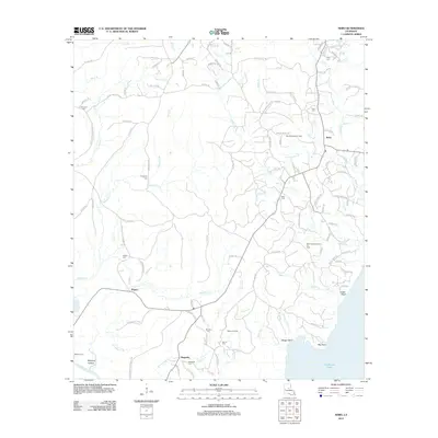
2012 Map of Nebo
USGS Topo · Published 2012About this map
The lowlands and creeks of LaSalle Parish define this 2012 survey, where the waters of the Little River feed toward the expansive Catahoula Lake. This is a landscape where natural drainage and industrial extraction coincide, featuring the extensive Nebo-Hemphill Oil Field and the West Catahoula Lake Oil Field. These energy-producing zones are interspersed with established local settlements like Nebo and Rogers, alongside numerous family and community cemeteries that dot the countryside, such as Hurricane Cem, Thompson Cem, and Frazier Cem.
Find a feature on this map
119 named features on this map. Tap any name to fly to it.
Don’t see what you’re looking for? This feature index may not catch every label — zoom into the map to look around manually.
Map Details
Editions of this 2012 Nebo Map
This is the sole edition of this map. No revisions or reprints were ever made.
Other maps of this area

1936 · Pollock
USGS Topo · 1:62,500

1941 · Jena
USGS Topo · 1:62,500

1941 · Alexandria
USGS Topo · 1:62,500

1941 · Buckeye
USGS Topo · 1:62,500

1941 · Pollock
USGS Topo · 1:62,500

1953 · Alexandria
USGS Topo · 1:250,000

1955 · Alexandria
USGS Topo · 1:250,000

1957 · Alexandria
USGS Topo · 1:62,500

1958 · Pollock
USGS Topo · 1:62,500

1958 · Jena
USGS Topo · 1:62,500