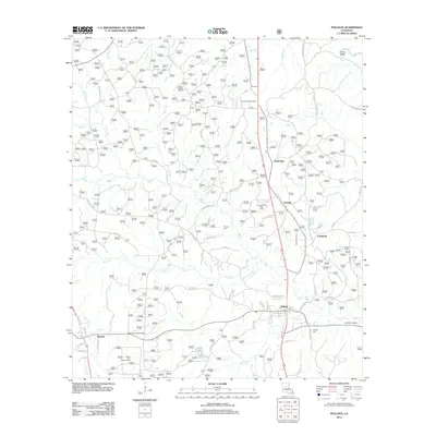
2012 Map of Pollock
USGS Topo · Published 2012About this map
Pollock and the surrounding piney woods of Grant Parish are defined by a complex network of bayous and creeks, including Dyson Cr and Sandy Cr. This 2012 survey illustrates a landscape deeply integrated with forest management and recreation, as evidenced by the Stuart Pine Seed Orchard and Camp Grant Walker. The presence of the Antonia Lookout Tower and Catahoula Lookout Tower reflects the area's ongoing commitment to forest fire monitoring within the Kisatchie National Forest region. Small communities such as Antonia and Bentley are connected by a web of local roads named for prominent residents, like Mercer Rd and James Ryder. Genealogists will find interest in the Guynes Cemetery and Pollock Cem, alongside the Church of God State Camp, which point to the deep-rooted social and religious fabric of these North Louisiana settlements.
Find a feature on this map
71 named features on this map. Tap any name to fly to it.
Don’t see what you’re looking for? This feature index may not catch every label — zoom into the map to look around manually.
Map Details
Editions of this 2012 Pollock Map
This is the sole edition of this map. No revisions or reprints were ever made.
Other maps of this area

1932 · Colfax NE
USGS Topo · 1:31,680

1932 · Boyce NE
USGS Topo · 1:31,680

1932 · Colfax SE
USGS Topo · 1:31,680

1936 · Colfax
USGS Topo · 1:62,500

1936 · Pollock
USGS Topo · 1:62,500

1941 · Alexandria
USGS Topo · 1:62,500

1941 · Pollock
USGS Topo · 1:62,500

1941 · Boyce
USGS Topo · 1:62,500

1953 · Alexandria
USGS Topo · 1:250,000

1955 · Alexandria
USGS Topo · 1:250,000