2000s (21st Century) Maps of LaSalle Parish, Louisiana
Explore 20 historic maps of LaSalle Parish from the 2000s (21st Century). These maps offer a rare glimpse into what life looked like during the 2000s — showing old roads, neighborhoods, homes, and landmarks that have changed or disappeared over time.
Whether you're researching your family's past, planning a metal detecting trip, or studying how LaSalle Parish's landscape evolved across the 2000s, these high-resolution maps are a powerful tool for exploring the history of this region.
- Focus on a specific era: All maps on this page are from the 2000s, giving you a focused view of this time period.
- See what’s changed: Compare century-old streets, trails, and buildings to today's modern landscape using overlays and satellite layers.
- Research with precision: Use these maps for genealogy, historical research, land use analysis, or educational projects.
- View, download, or print: Maps are fully viewable online in high resolution, and can be downloaded or printed for your own records.
Start exploring LaSalle Parish's history through authentic maps from the 2000s. This is your window into the past.
LaSalle Parish, LA maps
(20)- 2003 Map of Pollock, 2005 Print
 2003 Pollock2005 Print · USGSCovers LaSalle Parish, including Pollock, Farmland, and other nearby areas
 - 2003 Map of Green Gables, 2005 Print
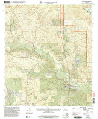
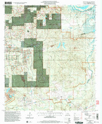 2003 Green Gables2005 Print · USGSCovers LaSalle Parish, including Pineville, Ball, and other nearby areas2 unique versions available
 - 2003 Map of Fishville, 2005 Print
 2003 Fishville2005 Print · USGSCovers LaSalle Parish, including White Sulphur Springs, Fishville, and other nearby areas
 - 2024 Map of Jena East, 2024 Print
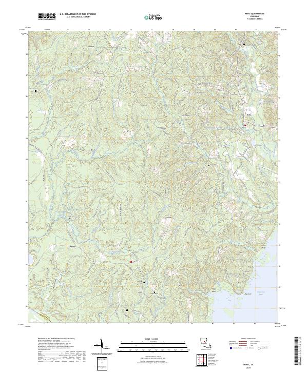
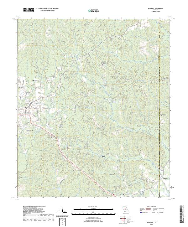 2024 Jena East2024 Print · USGSCovers LaSalle Parish, including Jena, Rhinehart, and other nearby areas
 - 2024 Map of Green Gables, 2024 Print
 2024 Green Gables2024 Print · USGSCovers LaSalle Parish, including Pineville, Ball, and other nearby areas
 - 2024 Map of Olla East, 2024 Print
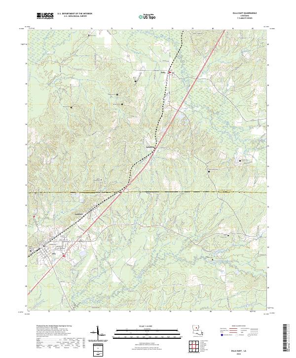 2024 Olla East2024 Print · USGSCovers LaSalle Parish, including Olla, Spaulding, and other nearby areas
 - 2024 Map of Olla West, 2024 Print
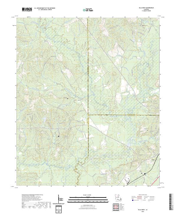 2024 Olla West2024 Print · USGSCovers LaSalle Parish, including Olla, Urania, and other nearby areas
 - 2024 Map of Summerville, 2024 Print
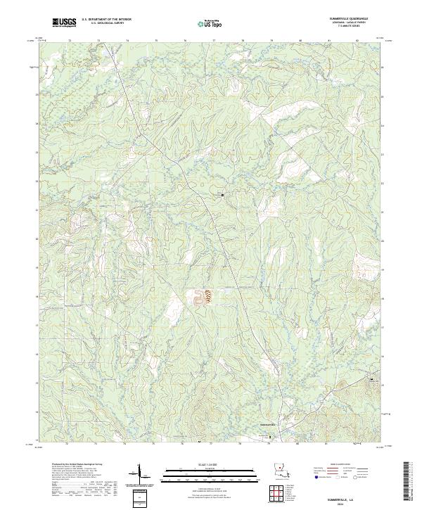 2024 Summerville2024 Print · USGSCovers LaSalle Parish, including Olla, Chickasaw, and other nearby areas
 - 2024 Map of Pollock, 2024 Print
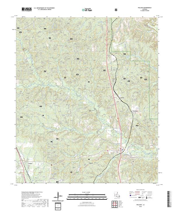 2024 Pollock2024 Print · USGSCovers LaSalle Parish, including Pollock, Farmland, and other nearby areas
 - 2024 Map of Nickel, 2024 Print
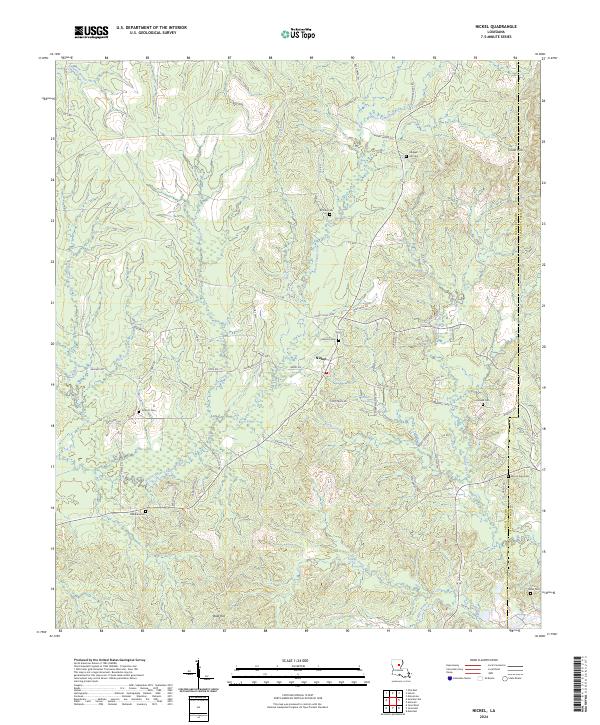 2024 Nickel2024 Print · USGSCovers LaSalle Parish, including Nickel, Catahoula Parish, and other nearby areas
 - 2024 Map of Bird Island Point, 2024 Print
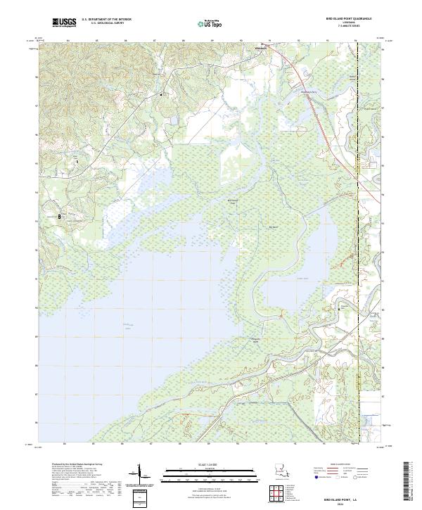 2024 Bird Island Point2024 Print · USGSCovers LaSalle Parish, including Sharp Town, Whitehall, and other nearby areas
 - 2024 Map of Holum, 2024 Print
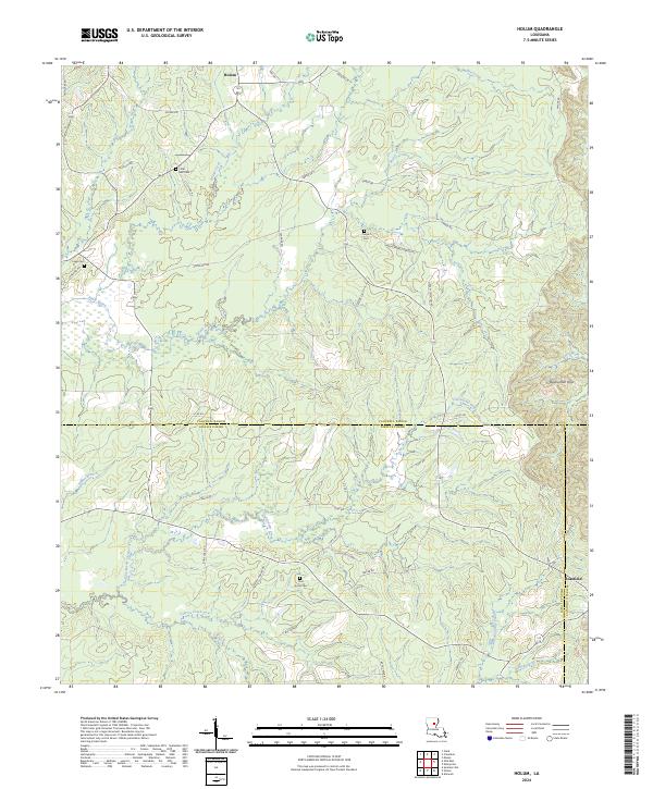 2024 Holum2024 Print · USGSCovers LaSalle Parish, including Holum, Caldwell Parish, and other nearby areas
 - 2024 Map of Tullos, 2024 Print
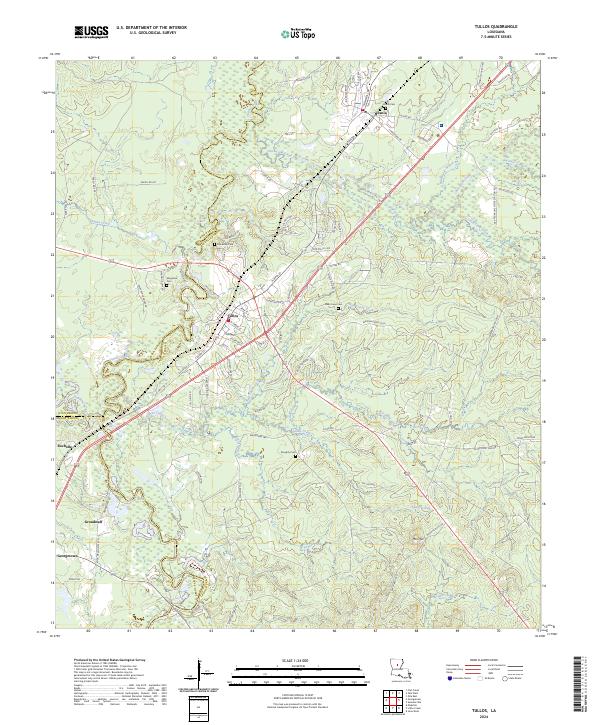 2024 Tullos2024 Print · USGSCovers LaSalle Parish, including Urania, Tullos, and other nearby areas
 - 2024 Map of Buckeye NE, 2024 Print
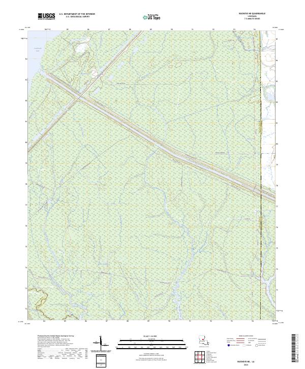 2024 Buckeye NE2024 Print · USGSCovers LaSalle Parish, including Rapides Parish, Catahoula Parish, and other nearby areas
 - 2024 Map of Nebo, 2024 Print
 2024 Nebo2024 Print · USGSCovers LaSalle Parish, including Magnolia, Nebo, and other nearby areas
 - 2024 Map of Fishville, 2024 Print
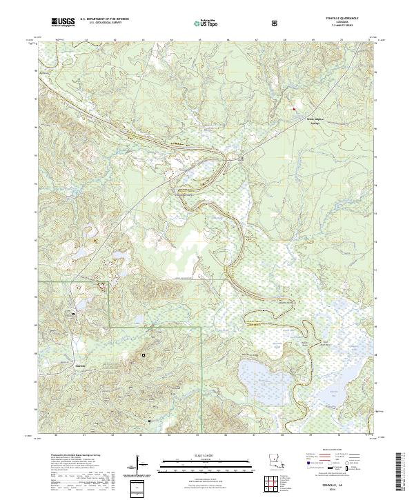 2024 Fishville2024 Print · USGSCovers LaSalle Parish, including Fishville, White Sulphur Springs, and other nearby areas
 - 2024 Map of Jena West, 2024 Print
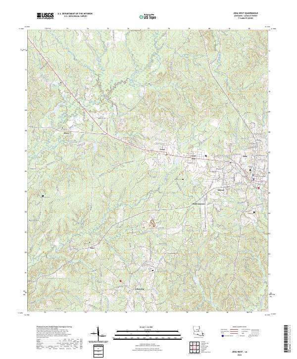 2024 Jena West2024 Print · USGSCovers LaSalle Parish, including Jena, Good Pine, and other nearby areas
 - 2024 Map of Powell Point, 2024 Print
 2024 Powell Point2024 Print · USGSCovers LaSalle Parish, including Rapides Parish, Avoyelles Parish, and other nearby areas
 - 2024 Map of Holloway, 2024 Print
 2024 Holloway2024 Print · USGSCovers LaSalle Parish, including Holloway, Deville, and other nearby areas
 - 2024 Map of Little Creek, 2024 Print
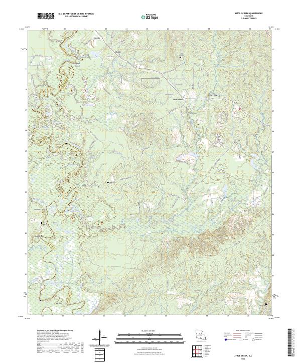 2024 Little Creek2024 Print · USGSCovers LaSalle Parish, including Ganeyville, Little Creek, and other nearby areas
End of results
Showing maps 1-20 of 20
Top cities of LaSalle Parish
Frequently asked questions
- What are the different types of historical maps available for LaSalle Parish?
- What is the oldest map of LaSalle Parish?
- Where can I purchase historical maps of LaSalle Parish for my home or office?
- Where can I download high-res historical maps of LaSalle Parish?
- Are there historical topographic maps available for LaSalle Parish?
- Is there historical aerial imagery available for LaSalle Parish?
- Where are historical maps of LaSalle Parish sourced from?