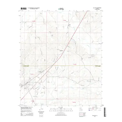
2015 Map of Olla East
USGS Topo · Published 2015About this map
Olla and the settlement of Standard anchor this landscape along the border of Caldwell Parish and LaSalle Parish. The 2015 survey reveals a terrain defined by numerous small drainage networks including Bear Br, Chickasaw Cr, and Black Bayou. This area serves as a focal point for genealogical research, documenting a high density of burial grounds such as Saint Joseph Cem, Tidwell Cem, and Harris Chapel Cem. The transportation infrastructure is dominated by the corridor passing through Spaulding and Kelly, while the Olla Airport provides a localized aviation hub. The map illustrates the distribution of rural residences and timber-related access roads like Oak Forest Cemetery Rd and Spaulding Road 633, showing how local life remains tied to the creek bottoms and the parish line.
Find a feature on this map
95 named features on this map. Tap any name to fly to it.
Don’t see what you’re looking for? This feature index may not catch every label — zoom into the map to look around manually.
Map Details
Editions of this 2015 Olla East Map
This is the sole edition of this map. No revisions or reprints were ever made.
Other maps of this area

1940 · Columbia
USGS Topo · 1:62,500

1953 · Alexandria
USGS Topo · 1:250,000

1954 · Sikes
USGS Topo · 1:62,500

1954 · Tullos
USGS Topo · 1:62,500

1955 · Shreveport
USGS Topo · 1:250,000

1955 · Alexandria
USGS Topo · 1:250,000

1955 · Olla
USGS Topo · 1:62,500

1956 · Shreveport
USGS Topo · 1:250,000

1957 · Columbia
USGS Topo · 1:62,500

1984 · Shreveport
USGS Topo · 1:250,000