Old Maps of Twin Oaks, Louisiana
Explore 12 old maps of Twin Oaks, spanning from 1935 to today. These high-resolution historic maps reveal how streets, neighborhoods, landmarks, and natural features evolved over time — perfect for genealogy, metal detecting, research, and local history exploration.
What you can do with these maps:
- See how Twin Oaks changed over time: Compare historical maps to modern-day views to trace roads, homesites, rail lines & more.
- View detailed metadata: Each map includes creators, publishers, year, scale, and archive source.
- Overlay maps with satellite & LiDAR: Visualize the past alongside modern tools to explore terrain & human change.
- Trusted historical sources: Maps sourced from the USGS, Library of Congress, and other archives.
- Access maps your way: View online, download high-res files, or order prints for personal or research use.
Start exploring old maps of Twin Oaks to uncover forgotten places, hidden landmarks, and the deep history beneath your feet.
Twin Oaks, LA maps
(12)- 1935 Map of Naff, 1936 Print
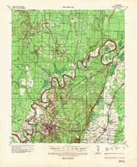 1935 Naff1936 Print · USGSMorehouse Parish in the mid-1930s is a landscape of winding bayous and emerging industrial infrastructure. Genealogists and local historians can trace family locations near Bastrop, Shelton, and rural landmarks like Evergreen Ch and Cem or Pt Pleasant.
 - 1955 Map of Jackson
 1955 Jackson1955 Print · USGSThe Lower Mississippi Valley at the middle of the century reveals a landscape of deep river meanders and growing rail hubs. Genealogists and historians can trace the mid-century footprints of Vicksburg National Military Park, old river landings at Port Gibson, and the rail corridors of the Illinois Central Railroad.3 unique versions available
 - 1956 Map of Bastrop, 1957 Print
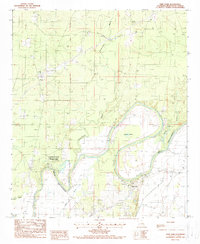
 1956 Bastrop1957 Print · USGSMorehouse Parish in the mid-1950s is a landscape of thriving rail hubs and productive wetlands at the edge of the Arkansas border. Genealogists and historians can trace family roots through landmarks like Cherry Ridge Sch, Mer Rouge, and the Gas and Oil Field near Beekman.4 unique versions available
 - 1961 Map of Jackson
 1961 Jackson1961 Print · USGSThe Lower Mississippi Delta and the state capital area are captured here during the post-war era of infrastructure expansion. Researchers can trace the complex river oxbows and rail lines connecting Vicksburg, Yazoo City, and the Illinois Central Railroad network.
 - 1962 Map of Jackson
 1962 Jackson1962 Print · USGSThe Mississippi Delta and the state capital region are mapped here in the early sixties, showing a landscape defined by the great river and the growing city of JACKSON. Genealogists can trace family roots through numerous landmarks like Cedar Hill Cem, rural stops on the Illinois Central RR, and historic sites like Champion Hill.2 unique versions available
 - 1982 Map of Bastrop, 1983 Print
 1982 Bastrop1983 Print · USGSNortheastern Louisiana and the Mississippi River Delta are captured here in the early eighties as a landscape of bayous and river towns. Genealogists and historians can trace small communities like Mer Rouge and Oak Grove or the ancient terrain of Poverty Point State Park.
 - 1988 Map of Twin Oaks
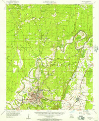
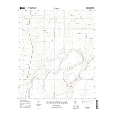
 1988 Twin Oaks1988 Print · USGSMorehouse Parish in the late eighties is defined by its winding waterways and the established Chemin-A-Haut State Park. Local historians can trace the settlement at Twin Oaks, find remote family sites near Cem labels, and locate a prominent Firetower.
 - 2012 Map of Twin Oaks, 2012 Print
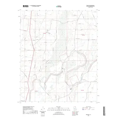
 2012 Twin Oaks2012 Print · USGSCovers Twin Oaks, including Morehouse Parish, United States, and other nearby areas
 - 2015 Map of Twin Oaks, 2015 Print
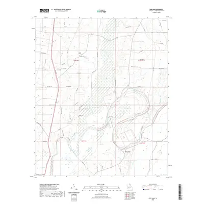
 2015 Twin Oaks2015 Print · USGSCovers Twin Oaks, including Morehouse Parish, United States, and other nearby areas
 - 2018 Map of Twin Oaks, 2018 Print
 2018 Twin Oaks2018 Print · USGSCovers Twin Oaks, including Morehouse Parish, United States, and other nearby areas
 - 2020 Map of Twin Oaks, 2020 Print
 2020 Twin Oaks2020 Print · USGSCovers Twin Oaks, including Morehouse Parish, United States, and other nearby areas
 - 2024 Map of Twin Oaks, 2024 Print
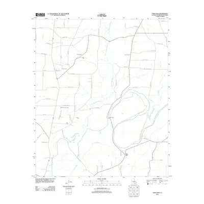
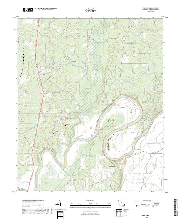 2024 Twin Oaks2024 Print · USGSThis rural portion of Morehouse Parish is defined by the winding course of Bayou Bartholomew and its surrounding wetlands. Researchers can locate family landmarks like Causey Cem, Kelly Cem, and the small Travis Airport amidst the timber and brake lands.
End of results
Showing maps 1-12 of 12
Top cities near Twin Oaks
- Bastrop historical maps
- Crossett historical maps
- Mer Rouge historical maps
- Wilmot historical maps
- Bonita historical maps
- Collinston historical maps
Frequently asked questions
- What are the different types of historical maps available for Twin Oaks?
- What is the oldest map of Twin Oaks?
- Where can I purchase historical maps of Twin Oaks for my home or office?
- Where can I download high-res historical maps of Twin Oaks?
- Are there historical topographic maps available for Twin Oaks?
- Is there historical aerial imagery available for Twin Oaks?
- Where are historical maps of Twin Oaks sourced from?