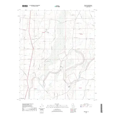
2018 Map of Twin Oaks
USGS Topo · Published 2018About this map
Bayou Bartholomew meanders through this portion of Morehouse Parish, defining a landscape of wetlands and low-lying drainages in the late 2010s. The area is characterized by a dense network of local tracks and trails named for local families and landmarks, such as Claude Mann Rd, Emmer Montgomery Rd, and Jim Robinson Rd. For genealogists and local historians, the map documents several burial sites including Causey Cem near Travis Airport, along with Kelly Cem and Neamon Cem further south. The terrain is marked by significant swampy depressions like Harrell Brake and Pratt Brake, while the settlement at Twin Oaks and the crossing at Vester Bridge serve as primary points of reference in this rural Louisiana landscape. The intricate waterway system includes Chemin-A-Haut Bayou and Yolks Bayou, which feed into the primary bayou channel.
Find a feature on this map
72 named features on this map. Tap any name to fly to it.
Don’t see what you’re looking for? This feature index may not catch every label — zoom into the map to look around manually.
Map Details
Editions of this 2018 Twin Oaks Map
This is the sole edition of this map. No revisions or reprints were ever made.
Other maps of this area
1935 · Wilmot
USGS Topo · 1:62,500
1935 · Naff
USGS Topo · 1:62,500
1935 · Bonita
USGS Topo · 1:62,500

1953 · Greenwood
USGS Topo · 1:250,000

1955 · Jackson
USGS Topo · 1:250,000

1956 · Greenwood
USGS Topo · 1:250,000
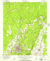
1956 · Bastrop
USGS Topo · 1:62,500
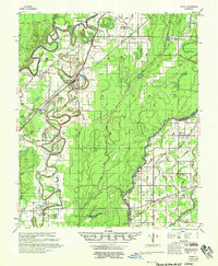
1958 · Bonita
USGS Topo · 1:62,500
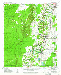
1960 · Wilmot
USGS Topo · 1:62,500
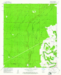
1960 · Wilmot SW
USGS Topo · 1:24,000