2000s (21st Century) Maps of Natchitoches Parish, Louisiana
Explore 197 historic maps of Natchitoches Parish from the 2000s (21st Century). These maps offer a rare glimpse into what life looked like during the 2000s — showing old roads, neighborhoods, homes, and landmarks that have changed or disappeared over time.
Whether you're researching your family's past, planning a metal detecting trip, or studying how Natchitoches Parish's landscape evolved across the 2000s, these high-resolution maps are a powerful tool for exploring the history of this region.
- Focus on a specific era: All maps on this page are from the 2000s, giving you a focused view of this time period.
- See what’s changed: Compare century-old streets, trails, and buildings to today's modern landscape using overlays and satellite layers.
- Research with precision: Use these maps for genealogy, historical research, land use analysis, or educational projects.
- View, download, or print: Maps are fully viewable online in high resolution, and can be downloaded or printed for your own records.
Start exploring Natchitoches Parish's history through authentic maps from the 2000s. This is your window into the past.
Natchitoches Parish, LA maps
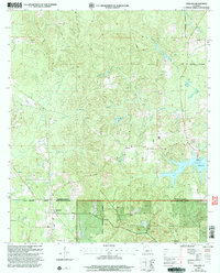
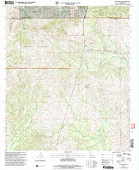
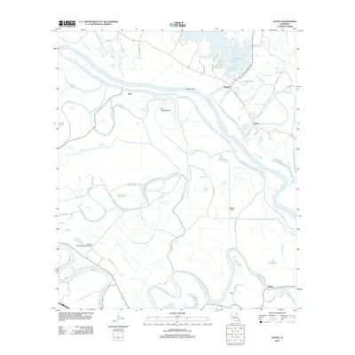
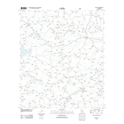
(197)- 2003 Map of Flora, 2005 Print
 2003 Flora2005 Print · USGSNatchitoches Parish at the start of the twenty-first century is a landscape of protected wilderness and creek-side settlements. Local researchers can pinpoint family landmarks like Weaver Cem, the community of Flora (Weaver Sta), and the winding course of Bayou Brevelle.
 - 2003 Map of Gorum, 2005 Print
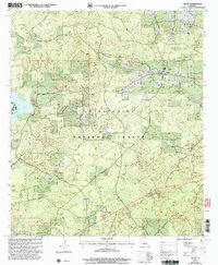
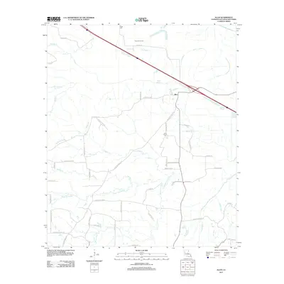
 2003 Gorum2005 Print · USGSCentral Louisiana’s pine-covered uplands and bayous come into focus here at the start of the millennium. Researchers can trace rural landmarks and family burial sites like Gorum Cem, Bolton Cem, and the high vantage point of the Observation Tower.
 - 2003 Map of Ashland, 2005 Print
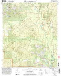
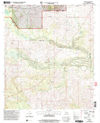
 2003 Ashland2005 Print · USGSThe border of Bienville and Natchitoches Parishes was a landscape of managed timber and rural homesteads at the turn of the millennium. Researchers can locate local landmarks like the Ashland corporate limits, family-named waterways such as Prothro Mill Creek, and several Cem sites.
 - 2003 Map of Calvin, 2005 Print
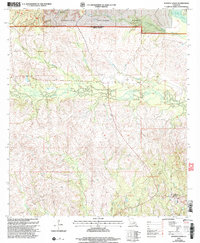
 2003 Calvin2005 Print · USGSCentral Louisiana timberlands and small communities are detailed here at the turn of the millennium. Genealogists can trace family connections at Old Harmony Cem and Bethlehem Ch, while outdoorsmen can locate Saline Lake.
 - 2003 Map of Bayou L'ivrogne, 2005 Print
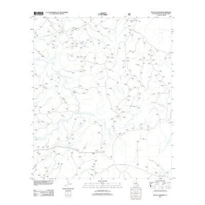
 2003 Bayou L'ivrogne2005 Print · USGSThe hills of Natchitoches Parish are shown here in the early 2000s, where the Kisatchie National Forest meets the Red Dirt region. Researchers can locate the settlement of Mink, the Key Cem, and historic lookout points like the Red Dirt Lookout.
 - 2003 Map of Goldonna, 2005 Print
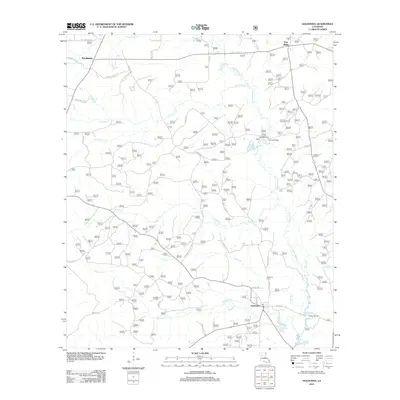
 2003 Goldonna2005 Print · USGSLouisiana's timber country and the Saline Bayou are documented here at the turn of the millennium. Genealogists and hikers can trace boundaries from Goldonna to Readheimer while locating landmarks like Pine Ridge and the Fish Hatchery.
 - 2003 Map of Simpson North, 2005 Print
 2003 Simpson North2005 Print · USGSNorth of Simpson at the turn of the millennium, this area of Vernon Parish shows a landscape of timber and winding creeks. Genealogists can locate family sites such as Robinson Cem and Welcome Cem or the settlements of Hutton and Simpson.
 - 2003 Map of Coup Point, 2005 Print
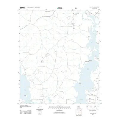
 2003 Coup Point2005 Print · USGSThe Natchitoches and Winn parish line runs through this wetland landscape at the turn of the millennium. Genealogists and historians can trace local landmarks like Clear Lake Ch, Evergreen Cem, and the old Gas Processing Plant.
 - 2003 Map of Bellwood, 2005 Print
 2003 Bellwood2005 Print · USGSCentral Natchitoches Parish at the start of the new millennium is a landscape of managed timberlands and old family settlements. Genealogists can trace rural landmarks like Friendship Cem, Antioch Ch, and the crossroads at Bellwood.
 - 2003 Map of Chestnut, 2005 Print
 2003 Chestnut2005 Print · USGSThe Kisatchie National Forest dominates the landscape around Ashland and Chestnut during the early 2000s. Genealogists and historians can trace creek-side landmarks like Bucket Creek and locate a rural Cem or an early Oil Well.
 - 2003 Map of Kurthwood, 2005 Print
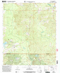
 2003 Kurthwood2005 Print · USGSThe Kisatchie National Forest and Fort Polk converge in this early 2000s view of Vernon Parish. Genealogists and historians can trace local landmarks like Fisherville, Kurthwood Ch, and the Kurthwood Fire Tower.
 - 2003 Map of Montgomery, 2005 Print
 2003 Montgomery2005 Print · USGSThe Red River valley at the turn of the millennium reveals a landscape of deep bayous and pine forest near the Grant Parish line. Genealogists and local historians can trace rural landmarks like New Nazarene Ch, Turk Az Cem, and the old settlement of Crews.
 - 2003 Map of Saline, 2005 Print
 2003 Saline2005 Print · USGSLouisiana's hill country is captured here at the turn of the millennium where Bienville, Natchitoches, and Winn Parishes meet. Genealogists can trace the rural communities of Saline and Friendship, or locate landmarks like Brickyard Branch and Burnt Cabin Creek.
 - 2003 Map of Temple, 2005 Print
 2003 Temple2005 Print · USGSVernon and Rapides Parishes are shown at the turn of the millennium as a landscape defined by timberlands and quiet communities. Genealogists can locate family landmarks like Schom Brook Cem, Burnstown, and Pine Grove Ch among the winding bayous.
 - 2003 Map of Cloutierville, 2005 Print
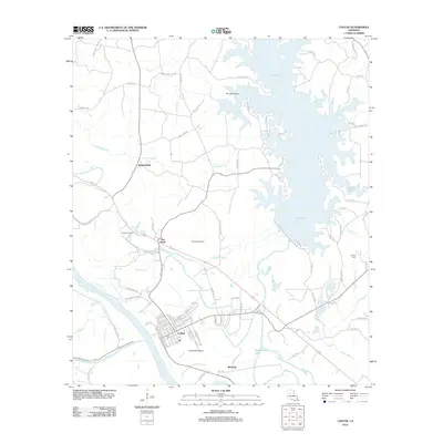
 2003 Cloutierville2005 Print · USGSNatchitoches Parish in the early 2000s remains a landscape defined by the winding Cane River Lake and its riverside communities. Researchers can trace historic settlements and local landmarks like Cloutierville, St Augustine Ch, and the Magnolia area.
 - 2003 Map of Saint Maurice, 2005 Print
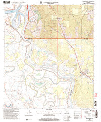
 2003 Saint Maurice2005 Print · USGSThe convergence of the Red River and Saline Bayou at the Winn and Natchitoches Parish line comes into focus in this early 2000s study. Genealogists can trace family sites at St Maurice Plantation, Pace Cem, and the New Enterprise Sch.
 - 2003 Map of Kisatchie, 2005 Print
 2003 Kisatchie2005 Print · USGSCentral Louisiana’s pine forests and military training grounds are documented here at the turn of the millennium. Genealogists can trace family heritage through isolated sites like Old Bellwood Cem, Polly Mack Cem, and the settlement of Lotus.
 - 2012 Map of Goldonna, 2012 Print
 2012 Goldonna2012 Print · USGSCovers Natchitoches Parish, including Goldonna, Readheimer, and other nearby areas
 - 2012 Map of Roy, 2012 Print
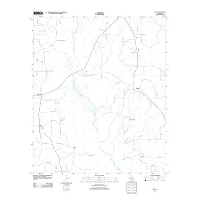 2012 Roy2012 Print · USGSCovers Natchitoches Parish, including Martin, Ashland, and other nearby areas
 - 2012 Map of Coup Point, 2012 Print
 2012 Coup Point2012 Print · USGSCovers Natchitoches Parish, including Goldonna, Winn Parish, and other nearby areas
 - 2012 Map of Aloha, 2012 Print
 2012 Aloha2012 Print · USGSCovers Natchitoches Parish, including Marco, Odra, and other nearby areas
 - 2012 Map of Colfax, 2012 Print
 2012 Colfax2012 Print · USGSCovers Natchitoches Parish, including Colfax, The Rock, and other nearby areas
 - 2012 Map of Allen, 2012 Print
 2012 Allen2012 Print · USGSCovers Natchitoches Parish, including Allen, United States, and other nearby areas
 - 2012 Map of Bayou Livrogne, 2012 Print
 2012 Bayou Livrogne2012 Print · USGSCovers Natchitoches Parish, including Mink, United States, and other nearby areas
 - 2012 Map of Calvin, 2012 Print
 2012 Calvin2012 Print · USGSCovers Natchitoches Parish, including Calvin, Coldwater, and other nearby areas
Showing maps 1-25 of 197
Top cities of Natchitoches Parish
- Natchitoches historical maps
- Campti historical maps
- Natchez historical maps
- Provencal historical maps
- Clarence historical maps
- Goldonna historical maps
See more
Frequently asked questions
- What are the different types of historical maps available for Natchitoches Parish?
- What is the oldest map of Natchitoches Parish?
- Where can I purchase historical maps of Natchitoches Parish for my home or office?
- Where can I download high-res historical maps of Natchitoches Parish?
- Are there historical topographic maps available for Natchitoches Parish?
- Is there historical aerial imagery available for Natchitoches Parish?
- Where are historical maps of Natchitoches Parish sourced from?