2010s Maps of Natchitoches Parish, Louisiana
Explore 108 historic maps of Natchitoches Parish from the 2010s. These maps offer a rare glimpse into what life looked like during the 2010s — showing old roads, neighborhoods, homes, and landmarks that have changed or disappeared over time.
Whether you're researching your family's past, planning a metal detecting trip, or studying how Natchitoches Parish's landscape evolved across the 2010s, these high-resolution maps are a powerful tool for exploring the history of this region.
- Focus on a specific era: All maps on this page are from the 2010s, giving you a focused view of this time period.
- See what’s changed: Compare century-old streets, trails, and buildings to today's modern landscape using overlays and satellite layers.
- Research with precision: Use these maps for genealogy, historical research, land use analysis, or educational projects.
- View, download, or print: Maps are fully viewable online in high resolution, and can be downloaded or printed for your own records.
Start exploring Natchitoches Parish's history through authentic maps from the 2010s. This is your window into the past.
Natchitoches Parish, LA maps
(108)- 2012 Map of Goldonna, 2012 Print
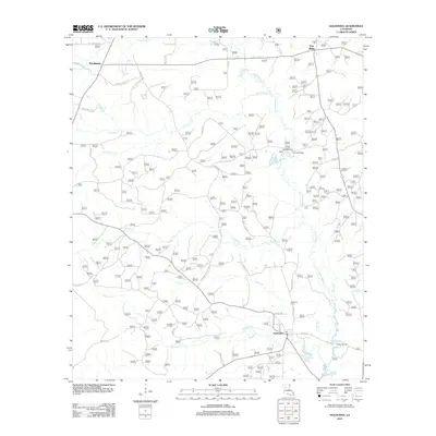 2012 Goldonna2012 Print · USGSThe Natchitoches Parish interior is documented here in the early twenty-first century, centered on the settlement of Goldonna. Researchers can trace local lineage through Goldonna Cem or locate the historic Drakes Salt Lick along the banks of Saline Bayou.
 - 2012 Map of Roy, 2012 Print
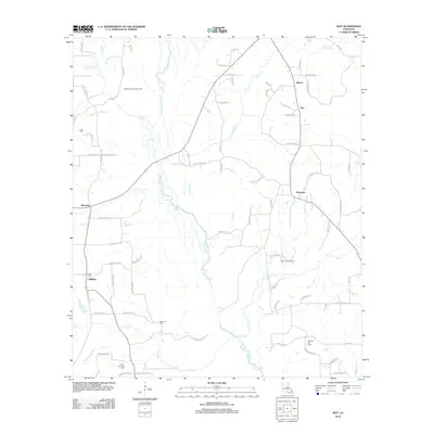 2012 Roy2012 Print · USGSRed River Parish in the early 2010s reveals a landscape of small settlements and active energy resources. Researchers can trace rural lineages at Bethel Cem and Newman Cem, or locate historic sites in Alberta and Womack.
 - 2012 Map of Coup Point, 2012 Print
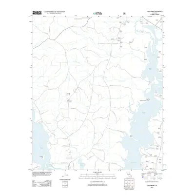 2012 Coup Point2012 Print · USGSThe Natchitoches Parish lake country is shown here in the early twenty-first century, highlighting a landscape defined by petroleum extraction and sprawling wetlands. Researchers can locate the Black Lake Oil and Gas Field, the Goldonna Lookout Tower, and numerous landings on Saline Lake.
 - 2012 Map of Aloha, 2012 Print
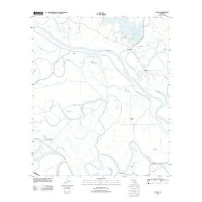 2012 Aloha2012 Print · USGSNatchitoches Parish comes into focus during the early twenty-first century as it manages the shifting waters of the Red River valley. Researchers can trace historic land use through the Little Eva Plantation Landing Strip, Marco Cem, and the Aloha Oil Field.
 - 2012 Map of Colfax, 2012 Print
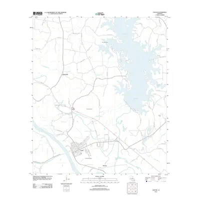 2012 Colfax2012 Print · USGSGrant Parish and the town of Colfax are captured here in the early twenty-first century, showing a landscape defined by the Red River and Lake Iatt. Researchers can trace the layout of the Colfax Oil Field or locate local landmarks like the Corbett Cem and The Rock.
 - 2012 Map of Allen, 2012 Print
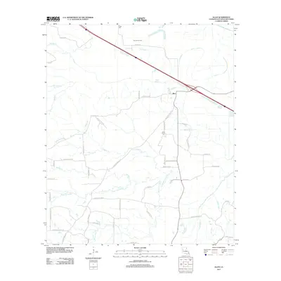 2012 Allen2012 Print · USGSNatchitoches Parish in the early twenty-first century remains a landscape of intricate bayous and rural timberlands. Genealogists can trace family landmarks along Allen Marthaville Rd or locate the Saint Annes Cem near the settlement of Allen.
 - 2012 Map of Bayou Livrogne, 2012 Print
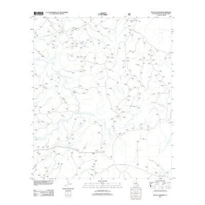 2012 Bayou Livrogne2012 Print · USGSMink and the surrounding Natchitoches Parish forests are documented here in the early twenty-first century, showcasing a landscape shaped by the bayou. Researchers can locate family sites at Beasley Cem or trace the winding waters of Bayou L'Ivrogne and Little Kisatchie Bayou.
 - 2012 Map of Calvin, 2012 Print
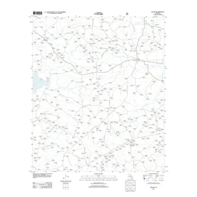 2012 Calvin2012 Print · USGSWinn Parish at the start of the 2010s shows a landscape where timber culture and recreation meet along the shores of Saline Lake. Researchers can locate several rural burial sites like Old Harmony Cem and Franks Cem or trace family road names near Calvin.
 - 2012 Map of Campti, 2012 Print
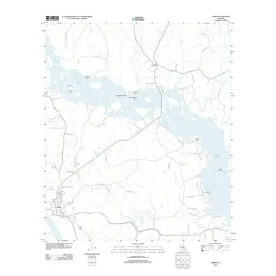 2012 Campti2012 Print · USGSIn the early 21st century, this area of Natchitoches Parish shows the unique intersection of the Red River and the sprawling Black Lake. Researchers can trace local lineage through Campti Cem or family landmarks like Jack Le Brum and Jim Bell Rd.
 - 2012 Map of Hollis Creek, 2012 Print
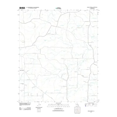 2012 Hollis Creek2012 Print · USGSIn this early twenty-first-century survey of Sabine Parish, Louisiana, a complex web of bayous and rural roads reveals a landscape shaped by water and oil. Researchers can trace family history through McCartney Cem or explore the geography of the San Miguel Creek Oil Field near Dobs Crossing.
 - 2012 Map of Lena, 2012 Print
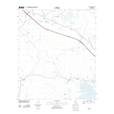 2012 Lena2012 Print · USGSRapides Parish in the early twenty-first century reveals a landscape defined by Bayou Castor and the sprawling waters of Lake Rodemacher. Local historians can trace old family sites and rural centers like Flatwoods, Lena, and the Monnett Ferry crossing.
 - 2012 Map of Simpson North, 2012 Print
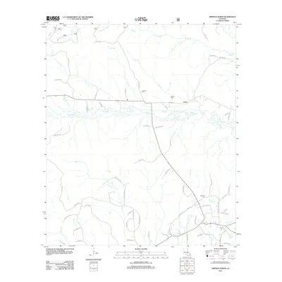 2012 Simpson North2012 Print · USGSNorth of Simpson during the early twenty-first century, this Vernon Parish landscape remains defined by its creek-bottoms and family cemeteries. Genealogists can trace local heritage at Welcome Cem or follow the waters of Comrade Cr and Little Bayou Pierre.
 - 2012 Map of Boyce, 2012 Print
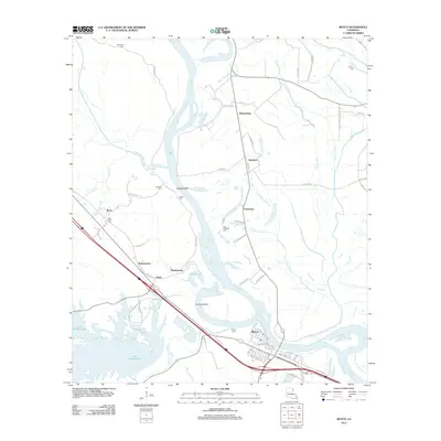 2012 Boyce2012 Print · USGSBoyce and the Red River floodplain are captured in the early twenty-first century as they balance old river settlements with modern infrastructure. Genealogists and local historians can trace family locations near Saint Aloysius Cem, the Mill Pond at Zimmerman, and the community of Ravencamp.
 - 2012 Map of Flora, 2012 Print
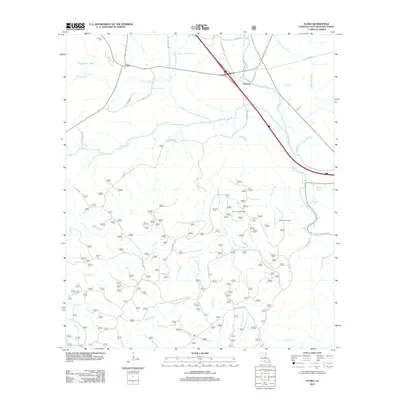 2012 Flora2012 Print · USGSNatchitoches Parish in the early twenty-first century is defined by its winding bayous and managed forest lands. Genealogists and local historians can locate remote family landmarks like Weaver Cemetery, the settlement of Flora, and scenic points such as Bayou Luce Overlook.
 - 2012 Map of Cloutierville, 2012 Print
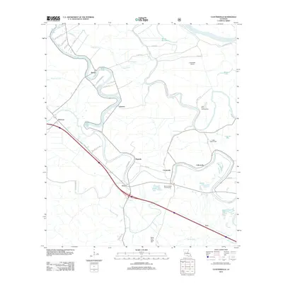 2012 Cloutierville2012 Print · USGSNatchitoches Parish comes into focus during the early twenty-first century as a landscape defined by the winding Cane River Lake. Researchers can trace the layout of historic communities like Melrose, Magnolia, and Cloutierville along with landmarks like Sang Pour Sang Hill.
 - 2012 Map of Saint Maurice, 2012 Print
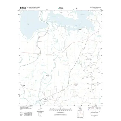 2012 Saint Maurice2012 Print · USGSNatchitoches Parish at the turn of the decade is shown here as a landscape defined by the Red River and its complex bayou systems. Researchers can trace family history through sites like Saint Maurice, Pace Cem, and the small settlement of Trichell.
 - 2012 Map of Saline, 2012 Print
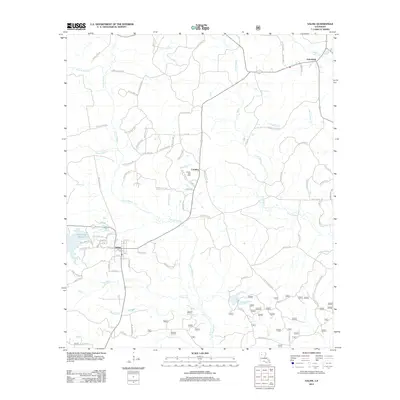 2012 Saline2012 Print · USGSLouisiana's Bienville Parish is captured here in the early twenty-first century, centered on the community of Saline. Researchers can trace the local landscape through features like the Saline Gas Field, Friendship, and the waters of Saline Bayou.
 - 2012 Map of Kurthwood, 2012 Print
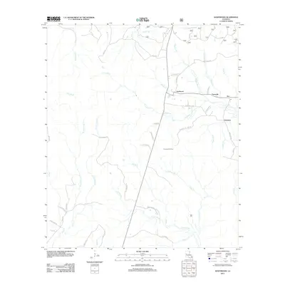 2012 Kurthwood2012 Print · USGSKurthwood and the surrounding central Louisiana timber settlements are captured here in the early 21st century. Researchers can trace local heritage through the placement of West Cem and the surviving roads of Fisherville, Alco, and Dusenbury.
 - 2012 Map of Gorum, 2012 Print
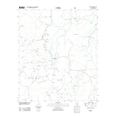 2012 Gorum2012 Print · USGSNatchitoches Parish and the Kisatchie National Forest area are shown here during the early 2010s. Local researchers can locate family sites and cemeteries near Gorum and Janie, or trace the winding courses of Bayou Pierre and Bayou Cypre.
 - 2012 Map of Montgomery, 2012 Print
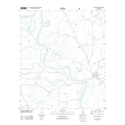 2012 Montgomery2012 Print · USGSThe Red River valley in Grant Parish was a landscape defined by its waterways and small riverfront communities in the early 2010s. Researchers can trace family history at Pleasant Hill Hill Cem or explore the geography of Montgomery, Boley, and Petite Ecore.
 - 2012 Map of Temple, 2012 Print
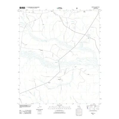 2012 Temple2012 Print · USGSVernon Parish at the start of the decade reveals a landscape of small timber-country settlements and family-named landmarks. Genealogists can trace the locations of Comrade Cem, Burnstown, and Zimmerman Camp among the many bayous and creeks that define the region.
 - 2012 Map of Evelyn, 2012 Print
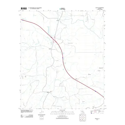 2012 Evelyn2012 Print · USGSDeSoto Parish in the early 21st century reveals a landscape shaped by slow-moving bayous and established oil fields. Researchers can locate family roots at Saint Marys Cem or trace the drainage of Bayou Pierre near settlements like Evelyn and Rambin.
 - 2012 Map of Marthaville, 2012 Print
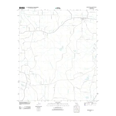 2012 Marthaville2012 Print · USGSMarthaville and the rural reaches of Natchitoches Parish are detailed here in the early twenty-first century. Genealogists and researchers can trace local family land and industry via the Klondike Oil Field and landmarks like Mayous Bayou.
 - 2012 Map of Robeline, 2012 Print
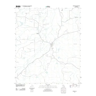 2012 Robeline2012 Print · USGSNatchitoches Parish in the early 2010s reveals a rural landscape defined by historic settlements and complex bayou systems. Genealogists and local researchers can trace family lands along Stewart Loop or locate significant sites like Robeline Cem and the Big Hill Lookout Tower.
 - 2012 Map of Kisatchie, 2012 Print
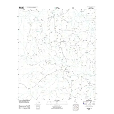 2012 Kisatchie2012 Print · USGSThe central Louisiana forest comes into focus in this recent survey of the rural communities near Kisatchie. Researchers can trace local heritage through numerous family burial sites including Old Kisatchie Cemetery and Billy Dowden Cemetery.
Showing maps 1-25 of 108
Top cities of Natchitoches Parish
- Natchitoches historical maps
- Campti historical maps
- Natchez historical maps
- Provencal historical maps
- Clarence historical maps
- Goldonna historical maps
See more
Frequently asked questions
- What are the different types of historical maps available for Natchitoches Parish?
- What is the oldest map of Natchitoches Parish?
- Where can I purchase historical maps of Natchitoches Parish for my home or office?
- Where can I download high-res historical maps of Natchitoches Parish?
- Are there historical topographic maps available for Natchitoches Parish?
- Is there historical aerial imagery available for Natchitoches Parish?
- Where are historical maps of Natchitoches Parish sourced from?