Old Maps of Pilottown, Louisiana for Hiking & Exploration
Hike through history with 14 historic maps of Pilottown. Explore old trails, ghost towns, and forgotten backroads — perfect for outdoor adventurers and local explorers.
- Rediscover forgotten places: Map out old mining camps, roads, and footpaths that no longer exist on modern maps.
- Layer with modern tools: Combine with LiDAR or satellite views to plan hikes through historical terrain.
- Made for exploration: Popular among hikers, overlanders, and local history lovers.
Use these maps to find adventure and explore the hidden past of Pilottown.
Pilottown, LA maps
(14)- 1893 Map of West Delta, 1904 Print
 1893 West Delta1904 Print · USGSThe mouth of the Mississippi River in the 1890s reveals a maritime landscape built around the shifting mudflats and deep-water channels of the delta. Maritime historians and genealogists can trace the locations of the Custom House, the Pilot Lookout, and various aids to navigation such as the South West Pass Light.3 unique versions available
 - 1949 Map of Cubits Gap
 1949 Cubits Gap1949 Print · USGSThe lower Mississippi delta comes alive in the late 1940s, revealing a maze of bayous and marsh islands at the gateway to the Gulf. Genealogists and historians can trace the riverfront layout of Pilot Town or locate the Old Quarantine Sta and Oil Mine Pond.
 - 1953 Map of West Delta
 1953 West Delta1953 Print · USGSThe lower reaches of the Mississippi Delta come alive in this mid-century survey of the river's final descent into the Gulf. Maritime researchers and genealogists can trace the remote outpost of Pilottown, the Old Quarantine Sta, and family-named wetlands like Bob Taylors Pond.
 - 1957 Map of Breton Sound, 1967 Print
 1957 Breton Sound1967 Print · USGSThe Mississippi River delta is captured here in the mid-fifties, showing the fragile marshlands and river-dependent towns of the Louisiana coast. Genealogists and historians can trace riverside settlements like Pointe a la Hache, Pilottown, and Port Sulphur.3 unique versions available
 - 1958 Map of West Delta, 1961 Print
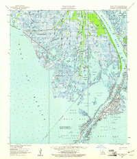 1958 West Delta1961 Print · USGSThe Mississippi Delta's final reaches are captured here in the late fifties as the river meets the Gulf. Genealogists and historians can trace the river-life hub at Pilottown and the maritime infrastructure of the Old Quarantine Station and Head of Passes.2 unique versions available
 - 1961 Map of Breton Sound
 1961 Breton Sound1961 Print · USGSThe Louisiana delta and the outer marshes of Plaquemines Parish are captured here at the start of the 1960s. Researchers can trace the river settlements from Davant to Venice, locate isolated stations like Port Eads, and find old sites such as Fort Jackson.
 - 1971 Map of Pilottown, 1974 Print
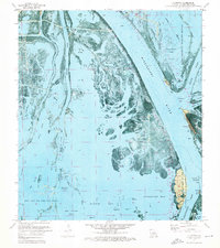 1971 Pilottown1974 Print · USGSThe Mississippi Delta's remote maritime outposts and marshlands are captured here in the early seventies during a period of heavy industrial and conservation activity. Researchers can trace the pilot operations at Pilottown and explore the sprawling West Bay Oil and Gas Field or the Delta National Wildlife Refuge.2 unique versions available
 - 1983 Map of Mississippi River Delta
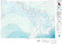 1983 Mississippi River Delta1983 Print · USGSThe lower Mississippi delta in the early eighties shows the thin line of human habitation clinging to the river levee between the vast marshes and the gulf. Genealogists and historians can trace the riverside communities of Empire, Triumph, and Nairn alongside the industrial Sulphur Mining Area.2 unique versions available
 - 1993 Map of Pilottown
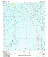 1993 Pilottown1993 Print · USGSPlaquemines Parish comes alive in the early nineties where the river meets the sea at the historic Pilottown settlement. Researchers can trace the industrial and natural balance of the delta, from the Wildlife Headquarters to the extensive West Bay Oil and Gas Field.2 unique versions available
 - 2012 Map of Pilottown, 2012 Print
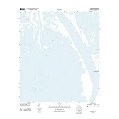 2012 Pilottown2012 Print · USGSThe river pilot station at Pilottown is documented here during the early twenty-first century as it sits perched within the shifting Mississippi River Delta. Researchers can trace the maritime landscape of Plaquemines Parish through features like the PO, Savage Island, and Dead Man Bayou.
 - 2015 Map of Pilottown, 2015 Print
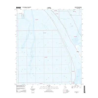 2015 Pilottown2015 Print · USGSThe lower Mississippi River delta is captured here during the mid-2010s, showing the isolated maritime community of Pilottown. Researchers can trace the complex network of delta passes and marsh islands, including Jaquines Island, Pass a Loutre, and Southwest Pass.
 - 2018 Map of Pilottown, 2018 Print
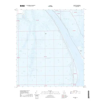 2018 Pilottown2018 Print · USGSLower Plaquemines Parish is seen in the late 2010s at the very mouth of the Mississippi River. Genealogists and maritime historians can trace the intricate waterways surrounding the pilot outpost of Pilottown, including Tiger Pass and Main Pass.
 - 2020 Map of Pilottown, 2020 Print
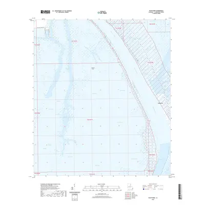 2020 Pilottown2020 Print · USGSThe Plaquemines Parish marshlands at the mouth of the Mississippi River are captured here in the contemporary era. Researchers can trace the maritime geography of Pilottown and vital river outlets like South Pass, Main Pass, and Southwest Pass.
 - 2024 Map of Pilottown, 2024 Print
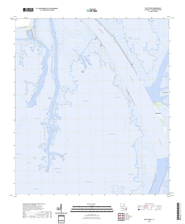 2024 Pilottown2024 Print · USGSThe Mississippi Delta's shifting marshes and maritime outposts are captured here at the head of passes in Plaquemines Parish. Researchers can trace the layout of Pilottown and the complex waterways of the Delta National Wildlife Refuge, including Southwest Pass and Octave Pass.
End of results
Showing maps 1-14 of 14
Top cities near Pilottown
Frequently asked questions
- What are the different types of historical maps available for Pilottown?
- What is the oldest map of Pilottown?
- Where can I purchase historical maps of Pilottown for my home or office?
- Where can I download high-res historical maps of Pilottown?
- Are there historical topographic maps available for Pilottown?
- Is there historical aerial imagery available for Pilottown?
- Where are historical maps of Pilottown sourced from?