2000s (21st Century) Maps of Morganza, Louisiana
Explore 10 historic maps of Morganza from the 2000s (21st Century). These maps offer a rare glimpse into what life looked like during the 2000s — showing old roads, neighborhoods, homes, and landmarks that have changed or disappeared over time.
Whether you're researching your family's past, planning a metal detecting trip, or studying how Morganza's landscape evolved across the 2000s, these high-resolution maps are a powerful tool for exploring the history of this region.
- Focus on a specific era: All maps on this page are from the 2000s, giving you a focused view of this time period.
- See what’s changed: Compare century-old streets, trails, and buildings to today's modern landscape using overlays and satellite layers.
- Research with precision: Use these maps for genealogy, historical research, land use analysis, or educational projects.
- View, download, or print: Maps are fully viewable online in high resolution, and can be downloaded or printed for your own records.
Start exploring Morganza's history through authentic maps from the 2000s. This is your window into the past.
Morganza, LA maps
(10)- 2012 Map of Morganza, 2012 Print
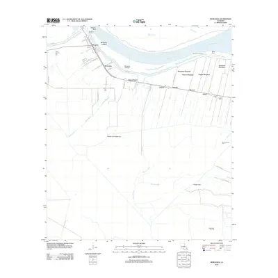 2012 Morganza2012 Print · USGSLouisiana's river country comes into focus in this recent survey of Pointe Coupee Parish, where the Mississippi's power is managed by massive civil works. Genealogists and researchers can locate Bright Morning Star Cem, the Moore-Sams Oil Field, and historical estates like Brunswick and Angeles Plantation.
 - 2012 Map of Lacour, 2012 Print
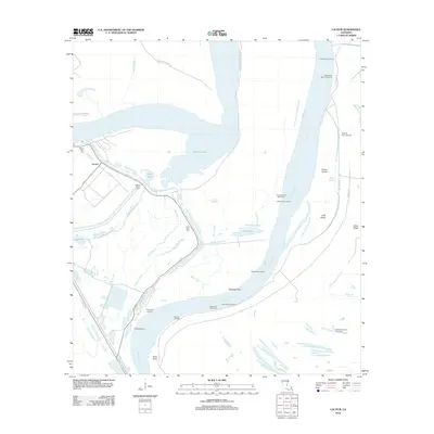 2012 Lacour2012 Print · USGSLouisiana river life and its intricate bayou networks are preserved here in the early twenty-first century. Genealogists and historians can trace family roots at Mount Zion Cem or locate old river access points like Greenwood Landing and Ryans Landing.
 - 2015 Map of Morganza, 2015 Print
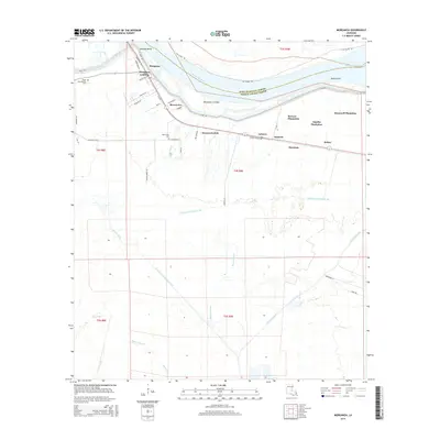 2015 Morganza2015 Print · USGSPointe Coupee Parish remains a landscape shaped by the river and its agrarian roots in the mid-2010s. Local researchers can trace historical land holdings from Stonewall Plantation to Angeles Plantation, or locate family sites near Bright Morning Star Cem and Dawson Switch.
 - 2015 Map of Lacour, 2015 Print
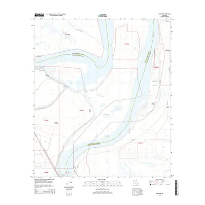 2015 Lacour2015 Print · USGSPointe Coupee and West Feliciana Parishes are shown in the mid-2010s, where the river's shifting path has left behind a complex geography of islands and sloughs. Genealogists and local historians can trace family sites at Mount Zion Cem or locate the old landing at Iowa Point.
 - 2018 Map of Lacour, 2018 Print
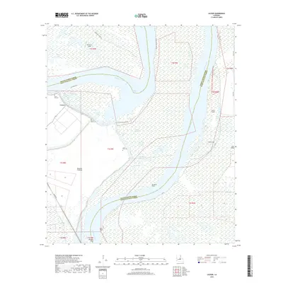 2018 Lacour2018 Print · USGSLouisiana's river country is captured here during the late 2010s, showing a landscape defined by the shifting Mississippi River and its massive flood control works. Genealogists and historians can locate old burial grounds like Mount Zion Cem and Little Rock Cem near the river landing at Old River Lndg.
 - 2018 Map of Morganza, 2018 Print
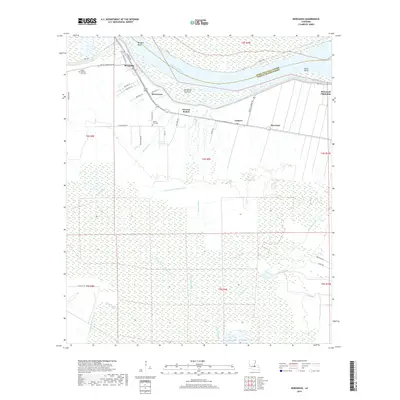 2018 Morganza2018 Print · USGSThe Mississippi River dominates this section of Pointe Coupee Parish in the late 2010s, shaping the local geography and settlements. Researchers can trace land patterns at Stonewell Plantation, locate the Bright Morning Star Cem, or find former rail points like Dawson Switch.
 - 2020 Map of Morganza, 2020 Print
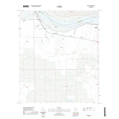 2020 Morganza2020 Print · USGSPointe Coupee Parish is revealed in high detail as it appeared in the early 21st century, centered on the strategic river bend at Morganza. Family historians and researchers can trace the locations of Stonewall Plantation, Bright Morning Star Cem, and the rail-related heritage of Dawson Switch.
 - 2020 Map of Lacour, 2020 Print
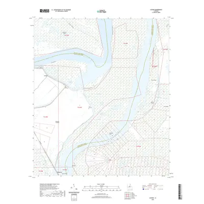 2020 Lacour2020 Print · USGSThe alluvial floodplains of Pointe Coupee Parish are shown here in the recent past, dominated by the winding Mississippi River and the Morganza Floodway. Genealogists and local historians can trace legacy sites like Mount Zion Cem, Little Rock Cem, and the settlement at Lacour.
 - 2024 Map of Morganza, 2024 Print
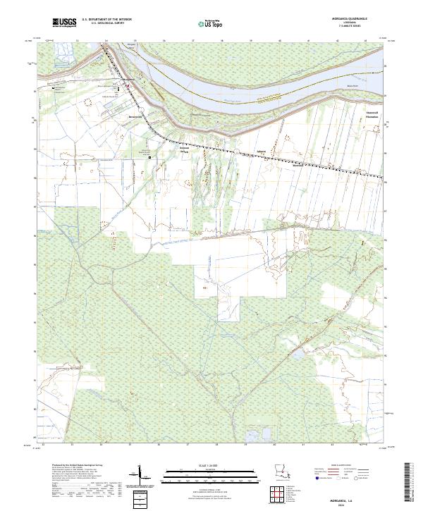 2024 Morganza2024 Print · USGSThe riverfront communities of Pointe Coupee Parish are shown in detail here, where the landscape transitions from the Mississippi River banks to deep delta wetlands. Genealogists can locate several historic churchyards including Saint Mary's Episcopal Church Cem and Mount Era Baptist Church and Cem.
 - 2024 Map of Lacour, 2024 Print
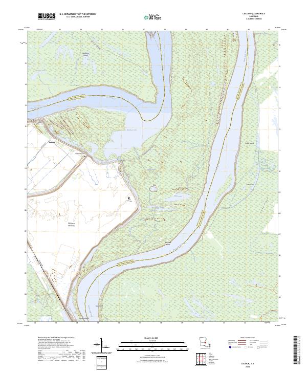 2024 Lacour2024 Print · USGSThe river parishes of Louisiana come alive in this recent survey, showcasing the massive oxbows and floodways along the Mississippi River. Genealogists and historians can trace family locations near Lacour, Mount Zion Cem, and the Little Rock Cem.
End of results
Showing maps 1-10 of 10
Top cities near Morganza
- New Roads historical maps
- St. Francisville historical maps
- Saint Francisville historical maps
- Melville historical maps
- Krotz Springs historical maps
- Livonia historical maps
See more
Top neighborhoods of Morganza
Frequently asked questions
- What are the different types of historical maps available for Morganza?
- What is the oldest map of Morganza?
- Where can I purchase historical maps of Morganza for my home or office?
- Where can I download high-res historical maps of Morganza?
- Are there historical topographic maps available for Morganza?
- Is there historical aerial imagery available for Morganza?
- Where are historical maps of Morganza sourced from?