Old Maps of St. Martinville, Louisiana for Academic Research
Study the evolution of St. Martinville with 20 high-resolution historic maps. Whether you're teaching, researching, or modeling changes in land use, these maps provide essential visual documentation of urban, environmental, and geographic change.
- Analyze long-term change: Track patterns in development, transportation, and natural features.
- Ideal for environmental or urban studies: Support academic projects with primary historical map data.
- Use in the classroom or lab: Educators and researchers rely on these maps to bring historical context to life.
These maps are a powerful tool for teaching, research, and visualizing how St. Martinville has changed over the decades.
St. Martinville, LA maps
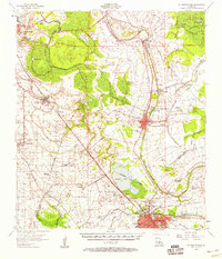
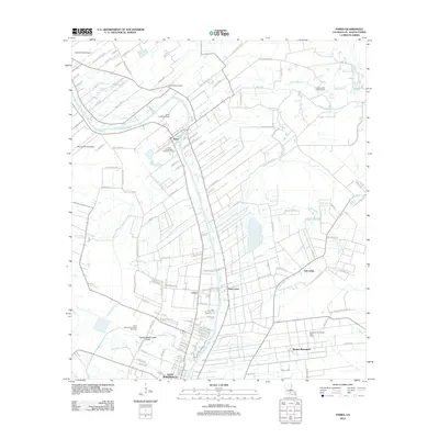
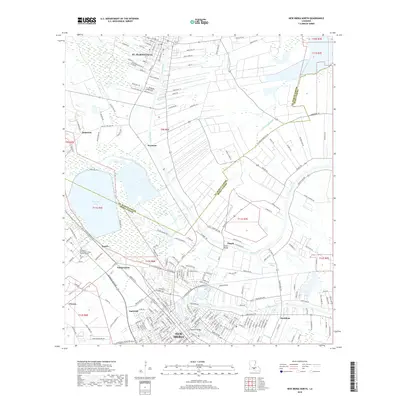
(20)- 1939 Map of St. Martinsville, 1946 Print
 1939 St. Martinsville1946 Print · USGSCajun country at the end of the 1930s reveals a landscape shaped by the Bayou Teche and the expansion of the regional oil and rail industries. Genealogists can locate family landmarks like the Girouard Ranch and rural centers such as Cecelia Ch & Sch or Billeaud.2 unique versions available
 - 1954 Map of Baton Rouge, 1974 Print
 1954 Baton Rouge1974 Print · USGSSoutheast Louisiana in the mid-fifties is captured here during a period of transition for its river and rail economies. Researchers can trace the path of the Mississippi River and find landmarks like the Bonnet Carre Spillway and Bayou Plaquemine.2 unique versions available
 - 1956 Map of Baton Rouge
 1956 Baton Rouge1956 Print · USGSSouth Louisiana at the height of the mid-century oil boom shows a landscape of river oxbows and rising industry. Researchers can trace family roots through river towns like Scotlandville or locate early industrial sites and Oil wells near Lake Maurepas.
 - 1957 Map of St. Martinville, 1958 Print
 1957 St. Martinville1958 Print · USGSSt. Martin and Iberia Parishes are captured here during the mid-fifties, showing the intersection of traditional plantation culture and new military and industrial growth. Genealogists and local historians can trace family lands near Romero Plantation, find old country schools like Forgey Sch, or locate the US Naval Auxiliary Air Station.2 unique versions available
 - 1961 Map of Baton Rouge, 1966 Print
 1961 Baton Rouge1966 Print · USGSSoutheastern Louisiana in the early sixties remains a landscape of deep river bends and sprawling coastal lakes. Genealogists and historians can trace the rail-and-river economy through landmarks like Free-Nigger Point, Donaldsonville, and the Illinois Central Railroad.
 - 1962 Map of Baton Rouge
 1962 Baton Rouge1962 Print · USGSSouth Louisiana in the early sixties reveals a landscape of river-bend parishes and emerging interstate corridors. Genealogists and historians can trace family roots through historic river towns like Donaldsonville and Plaquemine, or follow the path of the Illinois Central Railroad through the swamp basins.
 - 1970 Map of St. Martinville, 1972 Print
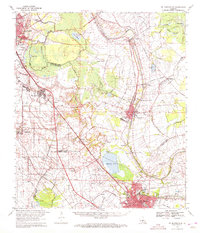 1970 St. Martinville1972 Print · USGSThe heart of Acadiana comes to life in the early 1970s as industrial growth meets the historic Bayou Teche. Genealogists and local historians can trace family-named sites and landmarks like Holy Name Institute, the Keystone Lock and Dam, and the old community at Duchamp.2 unique versions available
 - 1983 Map of Parks
 1983 Parks1983 Print · USGSThe Bayou Teche corridor in the early 1980s shows a unique mix of traditional Cajun landscapes and modern resource extraction. Genealogists and historians can trace family locations from St Martinville up to Parks, passing landmarks like the Southern Pacific and Lake Martin.
 - 1983 Map of New Iberia North
 1983 New Iberia North1983 Print · USGSCajun country along the Bayou Teche in the early eighties shows the evolving landscape between St Martinville and New Iberia. Researchers can trace the path of the Southern Pacific railroad through crossroads like Segura and Daspit.
 - 1984 Map of Baton Rouge
 1984 Baton Rouge1984 Print · USGSBaton Rouge and the surrounding river country are captured in the mid-eighties as the industrial corridor met the deep wetlands of the basin. Researchers can trace the winding Bayou Teche, locate family roots in St Martinville, or study the massive Atchafalaya Basin Floodway.2 unique versions available
 - 2012 Map of Parks, 2012 Print
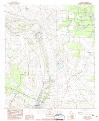
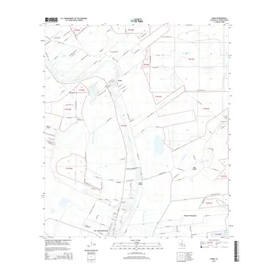
 2012 Parks2012 Print · USGSCovers St. Martinville, including Parks, Levert, and other nearby areas
 - 2012 Map of New Iberia North, 2012 Print
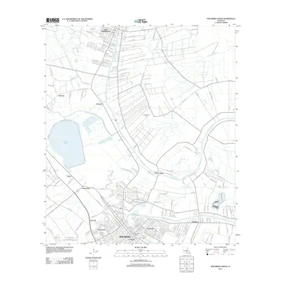 2012 New Iberia North2012 Print · USGSCovers St. Martinville, including New Iberia, Independent, and other nearby areas
 - 2015 Map of New Iberia North, 2015 Print
 2015 New Iberia North2015 Print · USGSCovers St. Martinville, including New Iberia, Independent, and other nearby areas
 - 2015 Map of Parks, 2015 Print
 2015 Parks2015 Print · USGSCovers St. Martinville, including Parks, Levert, and other nearby areas
 - 2018 Map of New Iberia North, 2018 Print
 2018 New Iberia North2018 Print · USGSCovers St. Martinville, including New Iberia, Independent, and other nearby areas
 - 2018 Map of Parks, 2018 Print
 2018 Parks2018 Print · USGSCovers St. Martinville, including Parks, Levert, and other nearby areas
 - 2020 Map of Parks, 2020 Print
 2020 Parks2020 Print · USGSCovers St. Martinville, including Parks, Levert, and other nearby areas
 - 2020 Map of New Iberia North, 2020 Print
 2020 New Iberia North2020 Print · USGSCovers St. Martinville, including New Iberia, Independent, and other nearby areas
 - 2024 Map of Parks, 2024 Print
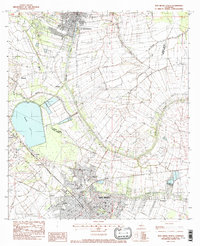
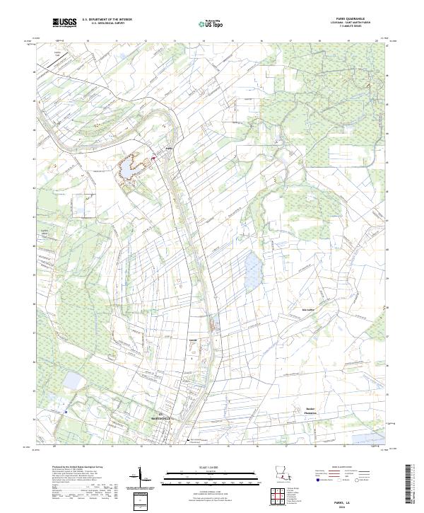 2024 Parks2024 Print · USGSSt. Martin Parish at the height of its modern rural character, centered on the historic winding path of Bayou Teche. Researchers can trace the layout of Banker Plantation, locate the First United Methodist Church Cem, and explore the drainage of Cypress Island.
 - 2024 Map of New Iberia North, 2024 Print
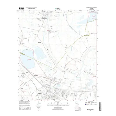
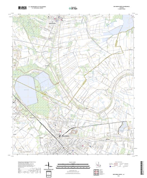 2024 New Iberia North2024 Print · USGSCajun country in the modern era comes to life along the banks of Bayou Teche between New Iberia and St. Martinville. Genealogists and local historians can trace parish boundaries and locate ancestral sites like Saint Michaels Catholic Cem and Fournet Cem.
End of results
Showing maps 1-20 of 20
Top cities near St. Martinville
- Lafayette historical maps
- New Iberia historical maps
- Scott historical maps
- Breaux Bridge historical maps
- Carencro historical maps
- Jeanerette historical maps
See more
Top neighborhoods of St. Martinville
Frequently asked questions
- What are the different types of historical maps available for St. Martinville?
- What is the oldest map of St. Martinville?
- Where can I purchase historical maps of St. Martinville for my home or office?
- Where can I download high-res historical maps of St. Martinville?
- Are there historical topographic maps available for St. Martinville?
- Is there historical aerial imagery available for St. Martinville?
- Where are historical maps of St. Martinville sourced from?