2020s Maps of St. Charles Parish, Louisiana
Explore 28 historic maps of St. Charles Parish from the 2020s. These maps offer a rare glimpse into what life looked like during the 2020s — showing old roads, neighborhoods, homes, and landmarks that have changed or disappeared over time.
Whether you're researching your family's past, planning a metal detecting trip, or studying how St. Charles Parish's landscape evolved across the 2020s, these high-resolution maps are a powerful tool for exploring the history of this region.
- Focus on a specific era: All maps on this page are from the 2020s, giving you a focused view of this time period.
- See what’s changed: Compare century-old streets, trails, and buildings to today's modern landscape using overlays and satellite layers.
- Research with precision: Use these maps for genealogy, historical research, land use analysis, or educational projects.
- View, download, or print: Maps are fully viewable online in high resolution, and can be downloaded or printed for your own records.
Start exploring St. Charles Parish's history through authentic maps from the 2020s. This is your window into the past.
St. Charles Parish, LA maps
(28)- 2020 Map of Bonnett Carre NE, 2020 Print
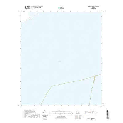 2020 Bonnett Carre NE2020 Print · USGSCovers St. Charles Parish, including Jefferson Parish, St. John the Baptist Parish, and other nearby areas
 - 2020 Map of La Branche, 2020 Print
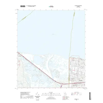 2020 La Branche2020 Print · USGSCovers St. Charles Parish, including Kenner, La Branche, and other nearby areas
 - 2020 Map of Lake Cataouatche West, 2020 Print
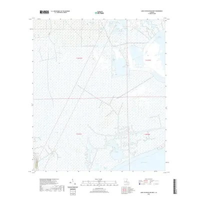 2020 Lake Cataouatche West2020 Print · USGSCovers St. Charles Parish, including Lafourche Parish, United States, and other nearby areas
 - 2020 Map of Lake Cataouatche East, 2020 Print
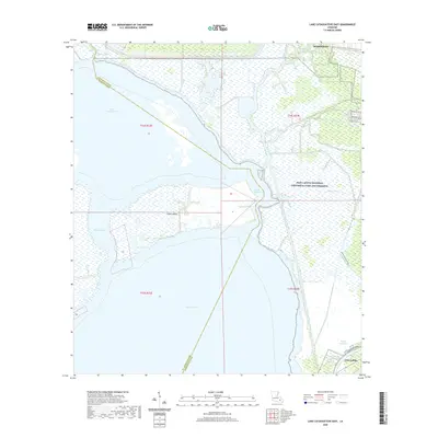 2020 Lake Cataouatche East2020 Print · USGSCovers St. Charles Parish, including Westwego, Jean Lafitte, and other nearby areas
 - 2020 Map of Des Allemands, 2020 Print
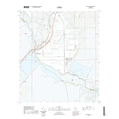 2020 Des Allemands2020 Print · USGSCovers St. Charles Parish, including Green Acres, Bayou Gauche, and other nearby areas
 - 2020 Map of New Orleans West, 2020 Print
 2020 New Orleans West2020 Print · USGSCovers St. Charles Parish, including New Orleans, Metairie, and other nearby areas
 - 2020 Map of Bayou Boeuf, 2020 Print
 2020 Bayou Boeuf2020 Print · USGSCovers St. Charles Parish, including Raceland, Bayou Boeuf, and other nearby areas
 - 2020 Map of Luling, 2020 Print
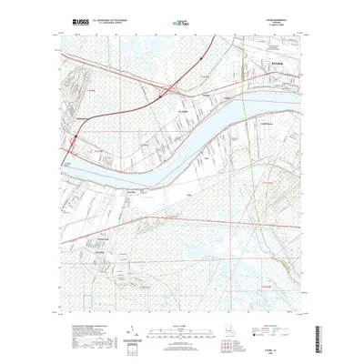 2020 Luling2020 Print · USGSCovers St. Charles Parish, including Kenner, Corso, and other nearby areas
 - 2020 Map of Lac des Allemands, 2020 Print
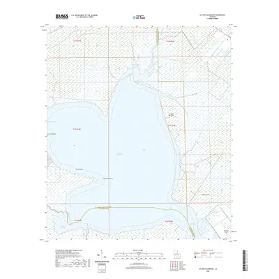 2020 Lac des Allemands2020 Print · USGSCovers St. Charles Parish, including Lafourche Parish, St. John the Baptist Parish, and other nearby areas
 - 2020 Map of Hahnville, 2020 Print
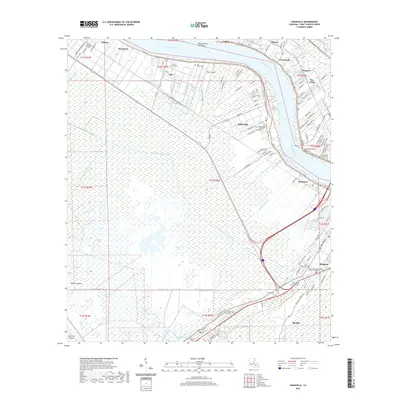 2020 Hahnville2020 Print · USGSCovers St. Charles Parish, including Ellington, Paradis, and other nearby areas
 - 2020 Map of Barataria, 2020 Print
 2020 Barataria2020 Print · USGSCovers St. Charles Parish, including Jean Lafitte, Barataria, and other nearby areas
 - 2020 Map of Laplace, 2020 Print
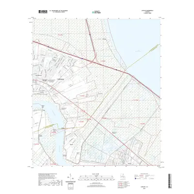 2020 Laplace2020 Print · USGSCovers St. Charles Parish, including LaPlace, Belle Terre, and other nearby areas
 - 2020 Map of Reserve, 2020 Print
 2020 Reserve2020 Print · USGSCovers St. Charles Parish, including Dolsen, Hope, and other nearby areas
 - 2021 Map of Catahoula Bay, 2021 Print
 2021 Catahoula Bay2021 Print · USGSCovers St. Charles Parish, including Tabatiere Perdue, Camardelle, and other nearby areas
 - 2024 Map of Laplace, 2024 Print
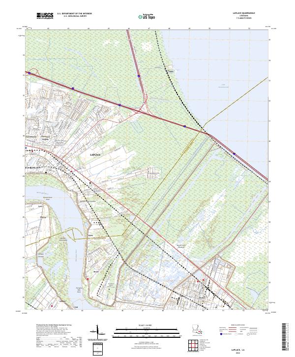 2024 Laplace2024 Print · USGSThe Mississippi River bends through St. John the Baptist Parish in the twenty-first century, showcasing a landscape defined by flood control and river industry. Researchers can trace the massive Bonnet Carre Floodway or locate local sites like Providence Rest Haven Cem and the settlement of Frenier on the lakefront.
 - 2024 Map of La Branche, 2024 Print
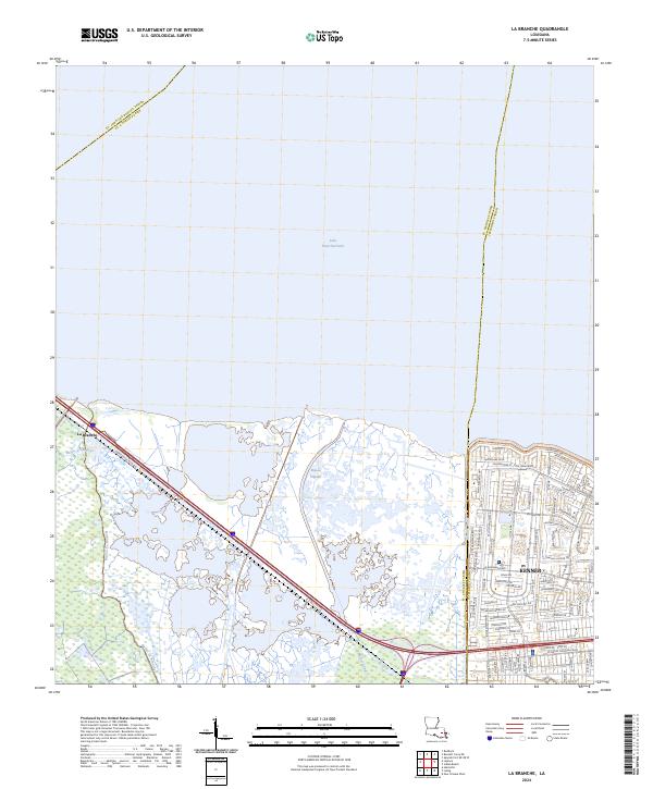 2024 La Branche2024 Print · USGSThe Louisiana shoreline meets suburban growth in the early twenty-first century as the marshland of ST. CHARLES PARISH transitions into the city. Researchers can trace the winding paths of Bayou La Branche and Bayou Piquant or explore the street grids of Kenner.
 - 2024 Map of Reserve, 2024 Print
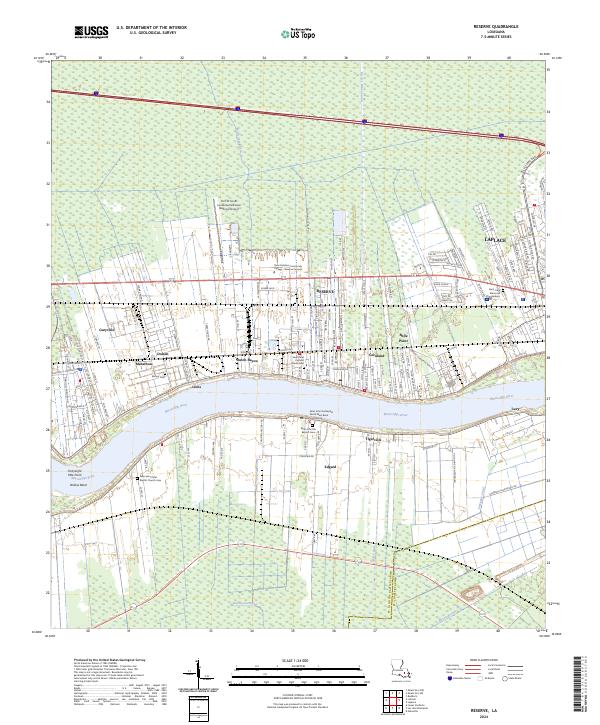 2024 Reserve2024 Print · USGSSettled along the Great River Road in the 2020s, this area shows the enduring river-oriented geography of St. John the Baptist Parish. Genealogists can trace family sites from Edgard to Reserve, including Saint John the Baptist Cem and Bishop Cem.
 - 2024 Map of Bonnett Carre NE, 2024 Print
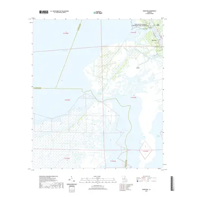
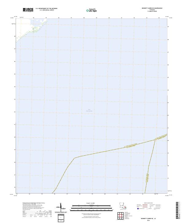 2024 Bonnett Carre NE2024 Print · USGSCoastal Louisiana waters define this era, showing the jurisdictional lines drawn across the open expanse of Lake Pontchartrain. Researchers can trace the exact water-bound borders between St. John the Baptist, St. Charles, and Jefferson Parishes.
 - 2024 Map of Bayou Boeuf, 2024 Print
 2024 Bayou Boeuf2024 Print · USGSIn the modern Louisiana wetlands, the border of Lafourche and St. Charles Parishes is defined by an intricate network of waterways. Researchers can trace the layout of Des Allemands and follow the paths of the Bowie Canal, Godchaux Canal, and Midway Canal.
 - 2024 Map of Hahnville, 2024 Print
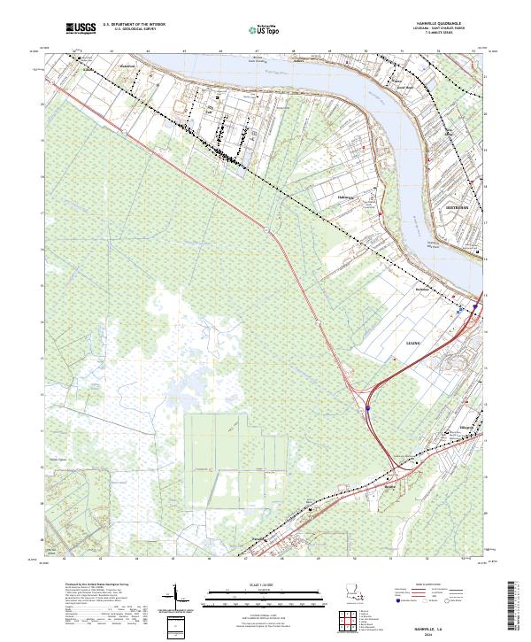 2024 Hahnville2024 Print · USGSSt. Charles Parish communities line both banks of the Mississippi in this modern survey of the Louisiana river parishes. Researchers can trace family sites at Killona Rest Haven Cem or locate historic civic landmarks like the Saint Charles Parish Courthouse.
 - 2024 Map of Lake Cataouatche East, 2024 Print
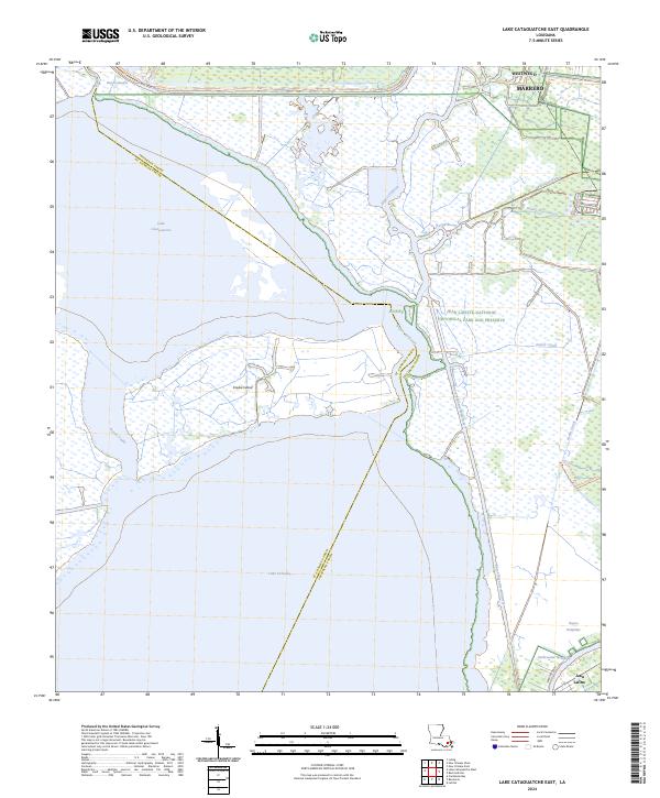 2024 Lake Cataouatche East2024 Print · USGSCoastal wetlands south of the New Orleans metro area reveal a complex network of bayous and canals during the early twenty-first century. Genealogists and historians can trace the transition from Westwego into the Jean Lafitte National Historical Park and Preserve or locate Couba Island between the great lakes.
 - 2024 Map of Lake Cataouatche West, 2024 Print
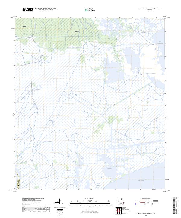 2024 Lake Cataouatche West2024 Print · USGSThe St. Charles Parish wetlands come into focus in this recent survey, capturing the interface between the settlements of Luling and Boutte and the tidal marshes. Researchers can trace historic water routes like the Louisiana Cypress Lumber Canal and the shoreline of Lake Salvador.
 - 2024 Map of Barataria, 2024 Print
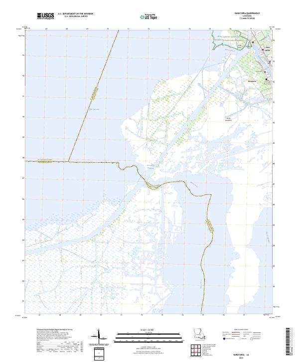 2024 Barataria2024 Print · USGSCoastal Jefferson Parish appears here in the 2020s, showing a landscape defined by its deep connection to the water. Researchers can trace family sites at Fleming Cem and Saint Anthony Cem or explore the wetlands of Jean Lafitte National Historical Park and Preserve.
 - 2024 Map of Lac des Allemands, 2024 Print
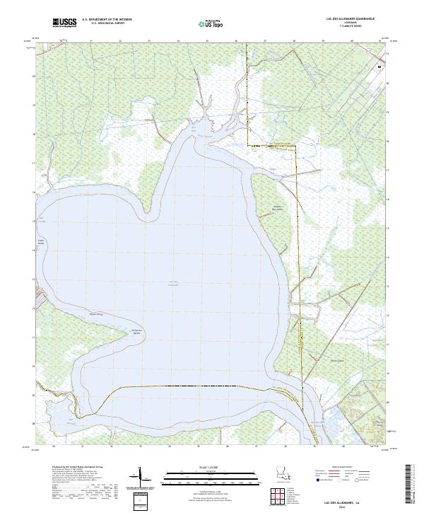 2024 Lac des Allemands2024 Print · USGSThe Louisiana wetlands at the junction of three parishes are captured here in the early twenty-first century. Researchers can trace the complex network of drainage and bayous, from the wide expanse of Lac des Allemands to local landmarks like Pointe aux Herbes and Bayou Chevreuil.
 - 2024 Map of Catahoula Bay, 2024 Print
 2024 Catahoula Bay2024 Print · USGSCoastal Louisiana at the edge of Lake Salvador shows a landscape defined by its waterways and parish lines. Trace the intersection of the Intracoastal Waterway and Harvey Canal Number Two alongside landmarks like Grosse Pointe.
Showing maps 1-25 of 28
Frequently asked questions
- What are the different types of historical maps available for St. Charles Parish?
- What is the oldest map of St. Charles Parish?
- Where can I purchase historical maps of St. Charles Parish for my home or office?
- Where can I download high-res historical maps of St. Charles Parish?
- Are there historical topographic maps available for St. Charles Parish?
- Is there historical aerial imagery available for St. Charles Parish?
- Where are historical maps of St. Charles Parish sourced from?