2000s (21st Century) Maps of Opelousas, Louisiana
Explore 10 historic maps of Opelousas from the 2000s (21st Century). These maps offer a rare glimpse into what life looked like during the 2000s — showing old roads, neighborhoods, homes, and landmarks that have changed or disappeared over time.
Whether you're researching your family's past, planning a metal detecting trip, or studying how Opelousas's landscape evolved across the 2000s, these high-resolution maps are a powerful tool for exploring the history of this region.
- Focus on a specific era: All maps on this page are from the 2000s, giving you a focused view of this time period.
- See what’s changed: Compare century-old streets, trails, and buildings to today's modern landscape using overlays and satellite layers.
- Research with precision: Use these maps for genealogy, historical research, land use analysis, or educational projects.
- View, download, or print: Maps are fully viewable online in high resolution, and can be downloaded or printed for your own records.
Start exploring Opelousas's history through authentic maps from the 2000s. This is your window into the past.
Opelousas, LA maps
(10)- 2012 Map of Opelousas, 2012 Print
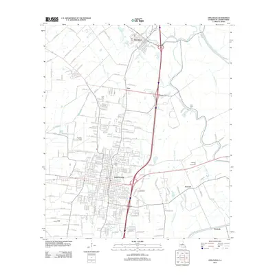 2012 Opelousas2012 Print · USGSCovers Opelousas, including Washington, Nuba, and other nearby areas
 - 2012 Map of Sunset, 2012 Print
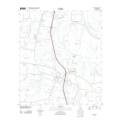 2012 Sunset2012 Print · USGSCovers Opelousas, including Sunset, Grand Coteau, and other nearby areas
 - 2015 Map of Opelousas, 2015 Print
 2015 Opelousas2015 Print · USGSCovers Opelousas, including Washington, Nuba, and other nearby areas
 - 2015 Map of Sunset, 2015 Print
 2015 Sunset2015 Print · USGSCovers Opelousas, including Sunset, Grand Coteau, and other nearby areas
 - 2018 Map of Opelousas, 2018 Print
 2018 Opelousas2018 Print · USGSCovers Opelousas, including Washington, Nuba, and other nearby areas
 - 2018 Map of Sunset, 2018 Print
 2018 Sunset2018 Print · USGSCovers Opelousas, including Sunset, Grand Coteau, and other nearby areas
 - 2020 Map of Opelousas, 2020 Print
 2020 Opelousas2020 Print · USGSCovers Opelousas, including Washington, Nuba, and other nearby areas
 - 2020 Map of Sunset, 2020 Print
 2020 Sunset2020 Print · USGSCovers Opelousas, including Sunset, Grand Coteau, and other nearby areas
 - 2024 Map of Sunset, 2024 Print
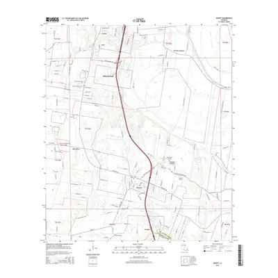
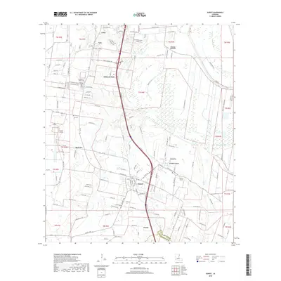
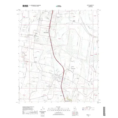
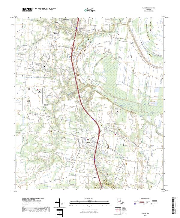 2024 Sunset2024 Print · USGSThe Cajun prairie of St. Landry Parish is captured here in the contemporary era as it balances historic preservation with modern growth. Researchers can trace local lineage through several significant sites including Bellevue Memorial Park, Daly Cem, and the venerable Saint Charles Borromeo Cem.
 - 2024 Map of Opelousas, 2024 Print
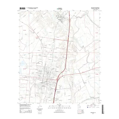
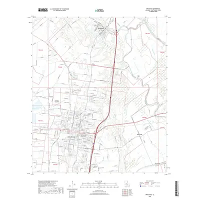
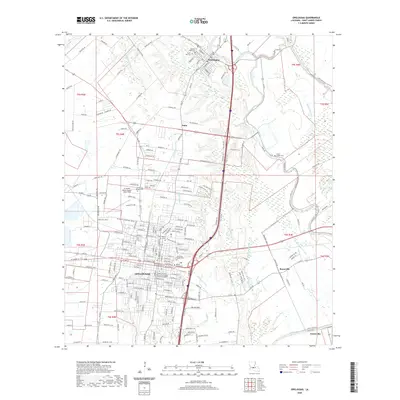
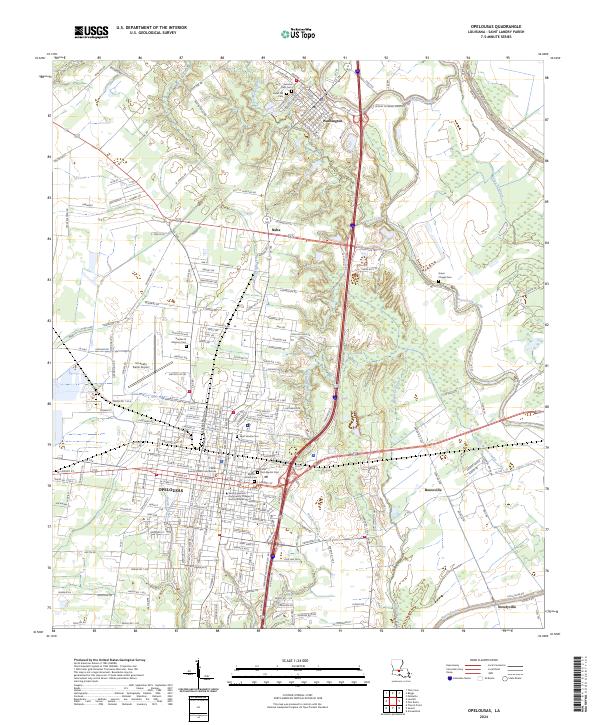 2024 Opelousas2024 Print · USGSSt. Landry Parish is revealed in this modern survey, capturing the historic seat of OPELOUSAS and the riverport town of Washington. Genealogists can trace local roots across numerous sites like Saint Landry Cem, Green Chapel Cem, and the Saint Landry Parish Courthouse.
End of results
Showing maps 1-10 of 10
Top cities near Opelousas
- Lafayette historical maps
- Breaux Bridge historical maps
- Carencro historical maps
- Ville Platte historical maps
- Church Point historical maps
- Sunset historical maps
See more
Frequently asked questions
- What are the different types of historical maps available for Opelousas?
- What is the oldest map of Opelousas?
- Where can I purchase historical maps of Opelousas for my home or office?
- Where can I download high-res historical maps of Opelousas?
- Are there historical topographic maps available for Opelousas?
- Is there historical aerial imagery available for Opelousas?
- Where are historical maps of Opelousas sourced from?