2020s Maps of Mandeville, Louisiana
Explore 6 historic maps of Mandeville from the 2020s. These maps offer a rare glimpse into what life looked like during the 2020s — showing old roads, neighborhoods, homes, and landmarks that have changed or disappeared over time.
Whether you're researching your family's past, planning a metal detecting trip, or studying how Mandeville's landscape evolved across the 2020s, these high-resolution maps are a powerful tool for exploring the history of this region.
- Focus on a specific era: All maps on this page are from the 2020s, giving you a focused view of this time period.
- See what’s changed: Compare century-old streets, trails, and buildings to today's modern landscape using overlays and satellite layers.
- Research with precision: Use these maps for genealogy, historical research, land use analysis, or educational projects.
- View, download, or print: Maps are fully viewable online in high resolution, and can be downloaded or printed for your own records.
Start exploring Mandeville's history through authentic maps from the 2020s. This is your window into the past.
Mandeville, LA maps
(6)- 2020 Map of Madisonville, 2020 Print
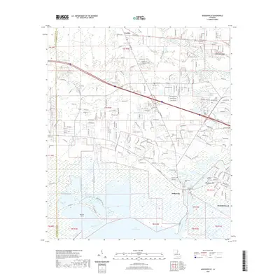 2020 Madisonville2020 Print · USGSCovers Mandeville, including Covington, Madisonville, and other nearby areas
 - 2020 Map of Mandeville, 2020 Print
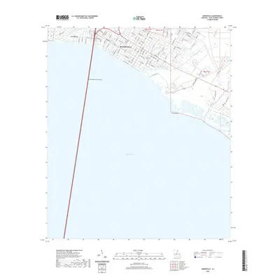 2020 Mandeville2020 Print · USGSCovers Mandeville, including Lewisburg, St. Tammany Parish, and other nearby areas
 - 2020 Map of Covington, 2020 Print
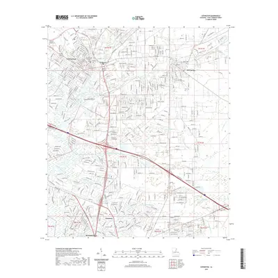 2020 Covington2020 Print · USGSCovers Mandeville, including Covington, Abita Springs, and other nearby areas
 - 2024 Map of Madisonville, 2024 Print
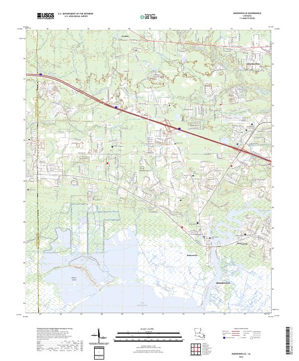 2024 Madisonville2024 Print · USGSMadisonville and the shores of Lake Pontchartrain appear here in the early twenty-first century as modern growth meets deep-rooted river history. Genealogists can locate numerous local burial sites including Madisonville Cem, Saint James Cem, and Wager Cem.
 - 2024 Map of Covington, 2024 Print
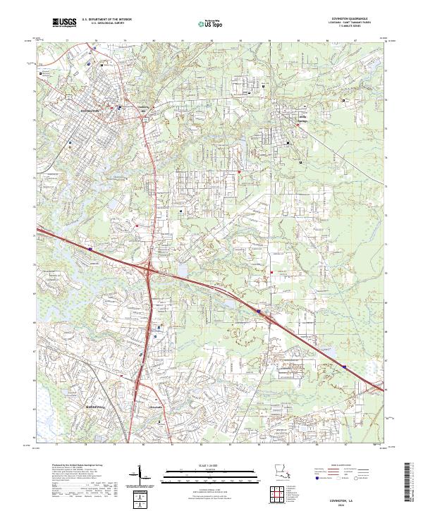 2024 Covington2024 Print · USGSSaint Tammany Parish comes to life in this modern survey of the Northshore during a period of sustained suburban and commercial growth. Genealogists can trace family names at Covington Cem and Byers Cem, or locate landmarks like Claiborne Hill.
 - 2024 Map of Mandeville, 2024 Print
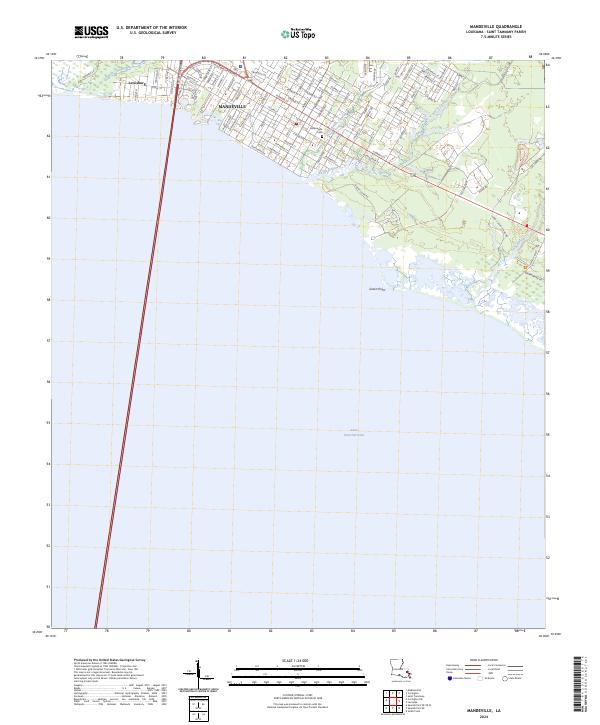 2024 Mandeville2024 Print · USGSThe St. Tammany Parish shoreline comes into focus in this contemporary survey of the north shore. Trace local heritage from the Mandeville Cem to the protected wetlands of Big Branch Marsh National Wildlife Refuge and Bayou Castine.
End of results
Showing maps 1-6 of 6
Top cities near Mandeville
- New Orleans historical maps
- Covington historical maps
- Abita Springs historical maps
- Madisonville historical maps
Top neighborhoods of Mandeville
Frequently asked questions
- What are the different types of historical maps available for Mandeville?
- What is the oldest map of Mandeville?
- Where can I purchase historical maps of Mandeville for my home or office?
- Where can I download high-res historical maps of Mandeville?
- Are there historical topographic maps available for Mandeville?
- Is there historical aerial imagery available for Mandeville?
- Where are historical maps of Mandeville sourced from?