Old Maps of Hammond, Louisiana for Metal Detecting
Plan your next treasure hunt with 47 historic maps of Hammond. Find old homesites, ghost towns, trails, and gathering spots that may be lost to time — perfect for identifying promising metal detecting locations.
- Locate forgotten sites: Uncover places like long-lost settlements, abandoned rail lines, or gathering spots.
- Plan better hunts: Use map overlays combined with LiDAR or satellite views to narrow in on historically rich areas.
- Made for detectorists: Thousands of hobbyists use these maps to discover relics, coins, and hidden history.
Use these historic maps to boost your research and find new opportunities beneath the surface of Hammond.
Hammond, LA maps
(47)- 1934 Map of Springfield
 1934 Springfield1934 Print · USGSLivingston Parish in the early 1930s is a landscape of complex waterways and small riverfront settlements. Genealogists can trace family roots through sites like Davidson Cem, the Hungarian Sch, and many historic landings including Magnolia Ldg.2 unique versions available
 - 1935 Map of Ponchatoula
 1935 Ponchatoula1935 Print · USGSCoastal Tangipahoa Parish is seen here in the mid-1930s, where the railroad and early highways began to bridge the gap between the piney woods and the great lakes. Researchers can locate family landmarks like Mitchell Cemetery or trace the old routes to the Manchac Akers Post Office and Jones Island.2 unique versions available
 - 1939 Map of Ponchatoula
 1939 Ponchatoula1939 Print · USGSLouisiana's Florida Parishes are captured here in the late thirties, where the rail lines of the Illinois Central meet the cypress swamps. Researchers can trace family roots at Wetmore Cem or locate the remote Pass Manchac LH and the lumber camps of the Louisiana Cypress Lumber Co.
 - 1939 Map of Springfield
 1939 Springfield1939 Print · USGSCoastal Louisiana at the end of the Depression era reveals a world of river landings and remote parish settlements. Genealogists and researchers can locate family sites like Davidson Cem, local schools such as Hungarian Sch, and numerous river points including Warsaw Log.2 unique versions available
 - 1940 Map of Tickfaw
 1940 Tickfaw1940 Print · USGSTangipahoa Parish at the start of the 1940s is shown here as a landscape of river-bottom woods and growing railroad towns. Researchers can trace the development of Hammond and SE LA COLLEGE, or locate family landmarks like Red Hill Sch and Colonial Cem.
 - 1949 Map of Albany
 1949 Albany1949 Print · USGSLivingston Parish and Tangipahoa Parish settlements are mapped here just after the war, showing the rural landscape before modern development. Researchers can trace family history through sites like Hoover Cem, Woodhaven, and the Seventh Ward Sch near the Natalbany River.
 - 1951 Map of Ponchatoula, 1953 Print
 1951 Ponchatoula1953 Print · USGSThe swampy interface of Tangipahoa Parish is captured in the early fifties as the railroad reached across the wetlands toward New Orleans. Trace historical footprints at Manchac Akers P.O., find family sites like Edwards Cem, or locate the Pass Manchac L H.3 unique versions available
 - 1954 Map of Baton Rouge, 1974 Print
 1954 Baton Rouge1974 Print · USGSSoutheast Louisiana in the mid-fifties is captured here during a period of transition for its river and rail economies. Researchers can trace the path of the Mississippi River and find landmarks like the Bonnet Carre Spillway and Bayou Plaquemine.2 unique versions available
 - 1956 Map of Baton Rouge
 1956 Baton Rouge1956 Print · USGSSouth Louisiana at the height of the mid-century oil boom shows a landscape of river oxbows and rising industry. Researchers can trace family roots through river towns like Scotlandville or locate early industrial sites and Oil wells near Lake Maurepas.
 - 1959 Map of Hammond, 1960 Print
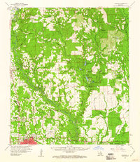 1959 Hammond1960 Print · USGSTangipahoa Parish at the close of the 1950s showcases a landscape where the river-and-rail economy met the growth of Southeastern La College. Genealogists can trace family names through dozens of rural sites like Briar Patch Cem, Union Training Sch, and Cooper Chapel.2 unique versions available
 - 1959 Map of Amite, 1960 Print
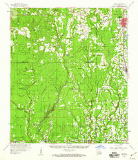 1959 Amite1960 Print · USGSSoutheastern Louisiana parishes in the late fifties show a landscape of river-fed bottomlands and rail-centered towns. Genealogists can trace family lines at Leonard Chapel Cems, Gatlin Cem, and the St John the Baptist Chapel.3 unique versions available
 - 1961 Map of Baton Rouge, 1966 Print
 1961 Baton Rouge1966 Print · USGSSoutheastern Louisiana in the early sixties remains a landscape of deep river bends and sprawling coastal lakes. Genealogists and historians can trace the rail-and-river economy through landmarks like Free-Nigger Point, Donaldsonville, and the Illinois Central Railroad.
 - 1962 Map of Baton Rouge
 1962 Baton Rouge1962 Print · USGSSouth Louisiana in the early sixties reveals a landscape of river-bend parishes and emerging interstate corridors. Genealogists and historians can trace family roots through historic river towns like Donaldsonville and Plaquemine, or follow the path of the Illinois Central Railroad through the swamp basins.
 - 1963 Map of Springfield, 1964 Print
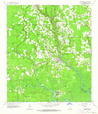 1963 Springfield1964 Print · USGSLouisiana's river country comes to life in this early 1960s survey of the parish borderlands near the Natalbany River. Local historians can locate numerous rural landmarks like Warsaw Landing, Hungarian Ch, and the Albany-Springfield High Sch.4 unique versions available
 - 1963 Map of Springfield, 1967 Print
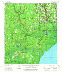 1963 Springfield1967 Print · USGSThe Louisiana bayou country north of Lake Maurepas comes alive in the mid-1960s, showing a landscape of river landings and parish crossroads. Genealogists can trace family roots through sites like Redding Cem, Jefferson Cem, and the rural James Chapel.2 unique versions available
 - 1965 Map of Springfield
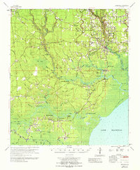 1965 Springfield1965 Print · USGSLivingston Parish in the mid-1960s reveals a complex network of river landings and lowland settlements as they existed before modern expansion. Genealogists and historians can locate the Hungarian Settlement, numerous country churches like Holly Ch, and family cemeteries including McLin Cem and Carters Cem.
 - 1968 Map of Ponchatoula, 1969 Print
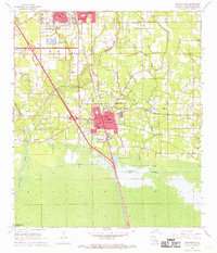 1968 Ponchatoula1969 Print · USGSTangipahoa Parish at the end of the sixties shows the steady growth of Ponchatoula and Hammond alongside the vital Illinois Central corridor. Genealogists can locate family landmarks such as Wetmore Cem, Mitchell Cem, and the French Corner Ch.3 unique versions available
 - 1969 Map of Ponchatoula, 1971 Print
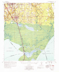 1969 Ponchatoula1971 Print · USGSThe Florida Parishes meet the marshlands of the Lake Pontchartrain basin in the late sixties. Genealogists and historians can trace family-named sites like Arnold Cem, Lees Landing, and the Champ Cooper Sch near the ILLINOIS CENTRAL line.
 - 1974 Map of Hammond, 1977 Print
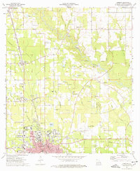 1974 Hammond1977 Print · USGSTangipahoa Parish shows a mix of college-town growth and rural industry in the mid-seventies, centered on the city of Hammond. Genealogists and local historians can locate specific family landmarks such as Tycer Cem, Lanier Cem, and Hagans Chapel along the Tangipahoa River corridor.
 - 1974 Map of Hammond, 1977 Print
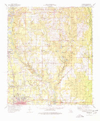 1974 Hammond1977 Print · USGSTangipahoa Parish in the mid-1970s shows a landscape of growing towns and deep-rooted rural communities. Trace family history at Wainwright Cem or Shady Grove Ch, and explore the rail corridor through Independence and Natalbany.
 - 1974 Map of Albany, 1978 Print
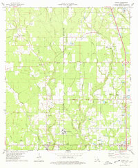 1974 Albany1978 Print · USGSLouisiana's piney woods and creek bottoms are captured here in the mid-seventies, showing the intersection of parish life and industrial growth. Researchers can locate several family cemeteries like Hutchinson Cem and follow the Illinois Central Gulf rail line through Baptist.
 - 1974 Map of Amite, 1978 Print
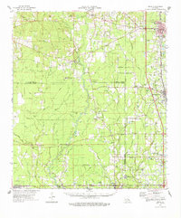 1974 Amite1978 Print · USGSSoutheastern Louisiana’s parish boundaries and river bottoms come into focus in the mid-seventies. Genealogists can trace family names through rural landmarks like Sharkey Cem, Leonard Chapel, and the Illinois Central Gulf rail corridor.
 - 1983 Map of Amite
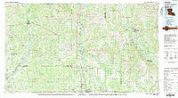 1983 Amite1983 Print · USGSThe Florida Parishes and southern Mississippi are captured here in the early 1980s, centered on the Illinois Central Gulf rail corridor. Genealogists and historians can trace family-named sites like the Camp Moore Confederate Cem, Magnolia Ch, and the Idlewild Plantation (State University).
 - 1983 Map of Ponchatoula, 1984 Print
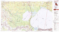 1983 Ponchatoula1984 Print · USGSThe Lake Pontchartrain Basin and the River Parishes come into focus during the early 1980s, showcasing the region's complex water-dependent geography. Researchers can trace the rail routes of the Illinois Central Gulf Railroad and explore landmarks from Pass Manchac to Donaldsonville.2 unique versions available
 - 1994 Map of Springfield, 1996 Print
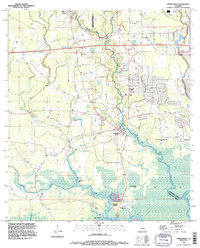 1994 Springfield1996 Print · USGSLivingston and Tangipahoa Parishes are shown in the mid-1990s as modern highway infrastructure met the ancient wetlands of the Tickfaw basin. Genealogists can locate family sites at Galilee Cem or Carters Cem and trace the old river settlements at Springfield and Warsaw Landing.
Showing maps 1-25 of 47
Top cities near Hammond
- Ponchatoula historical maps
- Maurepas historical maps
- Independence historical maps
- Killian historical maps
- Albany historical maps
- Tickfaw historical maps
See more
Top neighborhoods of Hammond
- Villa West historical maps
- Cypress Cove historical maps
- Westdale historical maps
- Whitmar Acres historical maps
- Woodbridge historical maps
- Lincoln Park historical maps
See more
Frequently asked questions
- What are the different types of historical maps available for Hammond?
- What is the oldest map of Hammond?
- Where can I purchase historical maps of Hammond for my home or office?
- Where can I download high-res historical maps of Hammond?
- Are there historical topographic maps available for Hammond?
- Is there historical aerial imagery available for Hammond?
- Where are historical maps of Hammond sourced from?