2000s (21st Century) Maps of Union Parish, Louisiana
Explore 132 historic maps of Union Parish from the 2000s (21st Century). These maps offer a rare glimpse into what life looked like during the 2000s — showing old roads, neighborhoods, homes, and landmarks that have changed or disappeared over time.
Whether you're researching your family's past, planning a metal detecting trip, or studying how Union Parish's landscape evolved across the 2000s, these high-resolution maps are a powerful tool for exploring the history of this region.
- Focus on a specific era: All maps on this page are from the 2000s, giving you a focused view of this time period.
- See what’s changed: Compare century-old streets, trails, and buildings to today's modern landscape using overlays and satellite layers.
- Research with precision: Use these maps for genealogy, historical research, land use analysis, or educational projects.
- View, download, or print: Maps are fully viewable online in high resolution, and can be downloaded or printed for your own records.
Start exploring Union Parish's history through authentic maps from the 2000s. This is your window into the past.
Union Parish, LA maps
(132)- 2003 Map of Lillie, 2005 Print
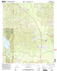 2003 Lillie2005 Print · USGSNorthern Union Parish at the start of the century reveals a landscape of timber, water, and rural settlements. Researchers can trace the shoreline of Corney Lake and locate community landmarks like Rum Center, Randolph, and several local Cemeteries.
 - 2011 Map of Lockhart, 2011 Print
 2011 Lockhart2011 Print · USGSThe Louisiana-Arkansas borderlands come into focus in the early twenty-first century, centered on the Lockhart community. Genealogists and researchers can trace rural homesteads and family sites via the Olive Branch Cemetery, Golden Cemetery, and the Hibank Oil Field.
 - 2011 Map of Felsenthal Dam, 2011 Print
 2011 Felsenthal Dam2011 Print · USGSThe southern Arkansas wetlands and the winding Ouachita River valley are captured here just after the first decade of the millennium. Researchers can trace local heritage through sites like the Macedonian Cemetery or explore the rail history found at C D Siding and the Missouri Pacific RR Tram Rd.
 - 2011 Map of Junction City, 2011 Print
 2011 Junction City2011 Print · USGSJunction City sits at the border of Arkansas and Louisiana in the early 2000s, where rural life is centered around bayous and timberlands. Genealogists and historians can trace numerous family burial sites like Cobb Cemetery, Wooley Cemetery, and Brantley Cemetery near the banks of Little Cornie Bayou.
 - 2011 Map of Strong, 2011 Print
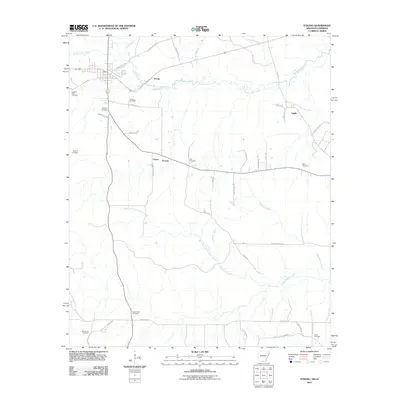 2011 Strong2011 Print · USGSSouthern Arkansas at the turn of the decade is defined by its rural settlements and the Strong Oil Field. Genealogists can trace family roots through numerous burial sites like Pilgrims Rest Cemetery and Good Hope Cemetery near the communities of Victoria and Lapile.
 - 2011 Map of Gardner, 2011 Print
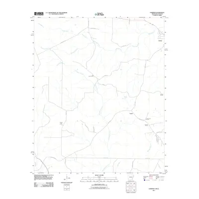 2011 Gardner2011 Print · USGSUnion County, Arkansas, sits at a quiet crossroads of industry and heritage during the early 2000s. Researchers can trace family roots at Cane Creek Cemetery or study the local energy economy at the Aurelle Oil and Gas Field.
 - 2011 Map of Huttig, 2011 Print
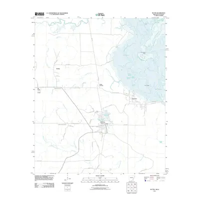 2011 Huttig2011 Print · USGSThe timber-and-water country of southern Arkansas comes into focus in this early twenty-first-century survey of the Huttig area. Researchers can trace family sites at Old Lapile Cemetery or explore the industrial footprints of Forty Acre Millpond and Felsenthal.
 - 2012 Map of Lockhart, 2012 Print
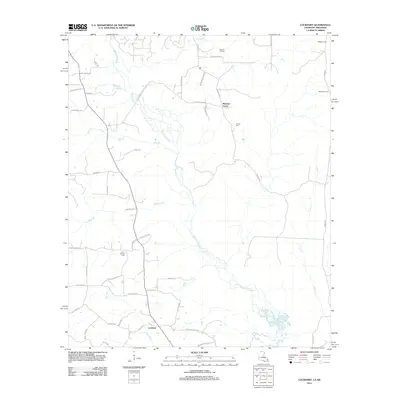 2012 Lockhart2012 Print · USGSThe Louisiana-Arkansas borderlands are captured here in the early twenty-first century, showing a landscape shaped by bayous and timber. Researchers can trace family history at Olive Branch Cem or study the local petroleum industry at the Hibank Oil Field.
 - 2012 Map of Cedarton, 2012 Print
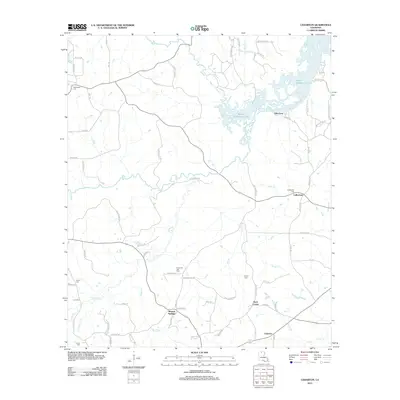 2012 Cedarton2012 Print · USGSThe northern reaches of Lincoln Parish come into focus in this early twenty-first-century survey of the Bayou D'Arbonne watershed. Local historians can trace family roots through the Unionville Gas Field and several rural burial grounds like Fellowship Cem and Colvin Cem.
 - 2012 Map of Calhoun, 2012 Print
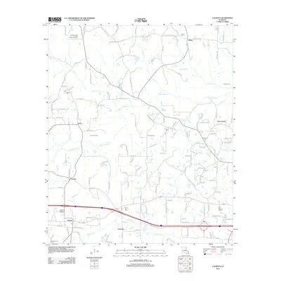 2012 Calhoun2012 Print · USGSSettled along the Bayou Choudrant at the turn of the twenty-first century, this area of Ouachita Parish reflects a mix of traditional rural life and modern development. Researchers can find numerous family and community landmarks, from Mount Zion Cem to the local Post Office in Calhoun.
 - 2012 Map of Harrell Lake, 2012 Print
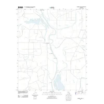 2012 Harrell Lake2012 Print · USGSThe riverfront of Union Parish comes to life in this survey, showcasing the vital landings along the Ouachita River. Genealogists and historians can trace the paths of Alabama Landing or locate remote spots like Hollands Woodyard Landing and High Tower Landing.
 - 2012 Map of Lillie, 2012 Print
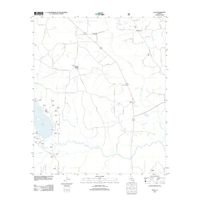 2012 Lillie2012 Print · USGSThe rural landscapes of northern Louisiana are captured here in the early twenty-first century, showing the small hamlets and bayous near the state line. Researchers can locate family landmarks like Pilgrims Rest Cem, Bethel Springs, and the waters of Corney Lake.
 - 2012 Map of Marion West, 2012 Print
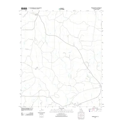 2012 Marion West2012 Print · USGSUnion Parish in the early 2000s remains a landscape of timber-lined creeks and historic family homesteads. Genealogists can trace local heritage through numerous burial sites like Old Tennessee Cem and family-named routes such as Billy Alford Rd.
 - 2012 Map of Bernice, 2012 Print
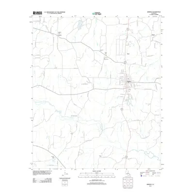 2012 Bernice2012 Print · USGSNorth Louisiana's timber and energy corridors are on full display in this early twenty-first-century survey of Union Parish. Researchers can trace rural lineages through numerous local landmarks, including the Alabama-Weldon Cemetery, Lynn Creek Gas Field, and the community of Bernice.
 - 2012 Map of Shiloh, 2012 Print
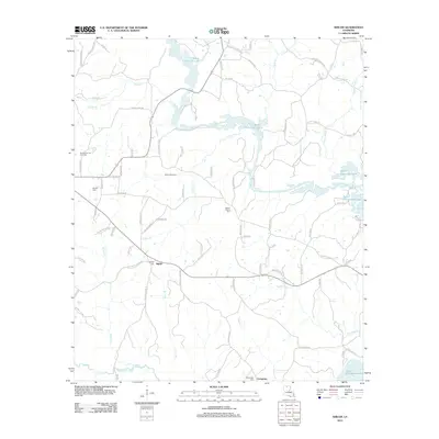 2012 Shiloh2012 Print · USGSUnion Parish in the early 2000s is a landscape where timbered creek bottoms meet active energy extraction. Researchers can trace family history through Shiloh Cem and Evergreen Cem while exploring the reach of the Shiloh Gas Field near Bayou D'Arbonne Lake.
 - 2012 Map of Haile, 2012 Print
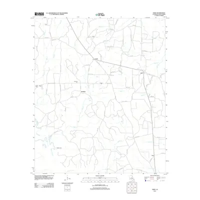 2012 Haile2012 Print · USGSNorth Louisiana’s timber and creek country is captured here just over a decade ago, centering on the rural communities of Linville and Haile. Genealogists and local historians can locate several family burial sites like Abstent Cem and the prominent Linville Lookout Tower.
 - 2012 Map of Point, 2012 Print
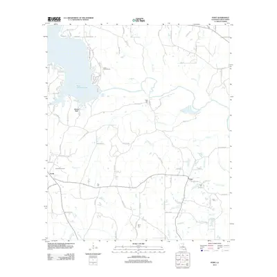 2012 Point2012 Print · USGSUnion Parish in the early 2010s shows a landscape defined by the expansive Bayou D'Arbonne Lake and small crossroads communities. Genealogists and researchers can trace family names through rural cemeteries like Ruggs Bluff Cem or locate the settlements of Terrills and Point.
 - 2012 Map of Downsville South, 2012 Print
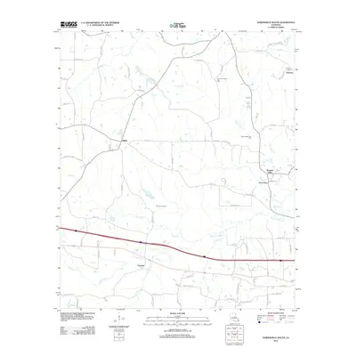 2012 Downsville South2012 Print · USGSLincoln Parish in the early 2010s shows a landscape defined by traditional rural communities and active energy production. Local historians can trace the development of Tremont, Sibley, and Frost Town alongside the Tremont Gas Field.
 - 2012 Map of Truxno, 2012 Print
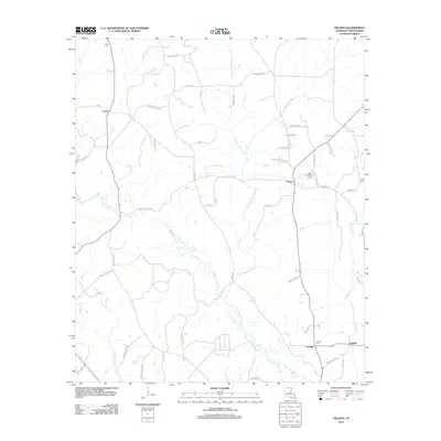 2012 Truxno2012 Print · USGSUnion Parish at the turn of the decade is defined by its rural settlements and the winding Loutre basin. Researchers can locate family sites and landmarks like Birds Chapel Cem, the Truxno Oil Field, and crossroads communities such as Laran and Conway.
 - 2012 Map of Sterlington, 2012 Print
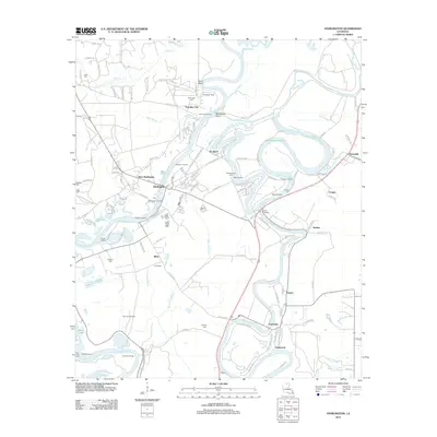 2012 Sterlington2012 Print · USGSSterlington and the surrounding Ouachita Parish riverfront are shown here during the early twenty-first century. Genealogists can trace family connections through river landings like Youngs Landing or local burial sites such as Glendora Cem and Phillips Cem.
 - 2012 Map of De Loutre, 2012 Print
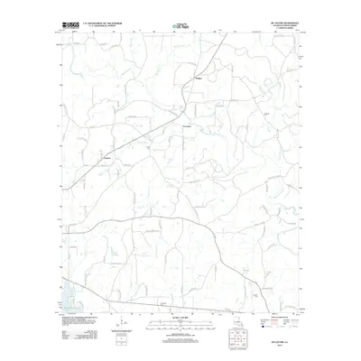 2012 De Loutre2012 Print · USGSUnion Parish at the turn of the decade reveals a landscape of winding bayous and quiet settlements north of the D'Arbonne watershed. Local historians can trace family locations near Taylor Cem, De Loutre, and the crossings of the Bayou de Loutre.
 - 2012 Map of Spearsville, 2012 Print
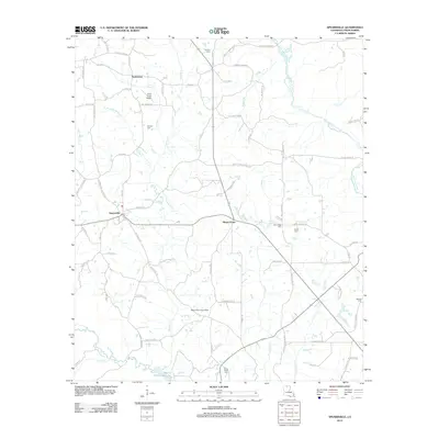 2012 Spearsville2012 Print · USGSSpearsville and the surrounding Union Parish countryside are captured here in the early twenty-first century. Genealogists and local historians can trace family locations near Antioch Cem, Mount Union, and the Spearsville Lookout Tower.
 - 2012 Map of West Monroe North, 2012 Print
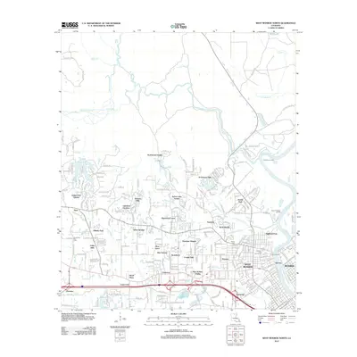 2012 West Monroe North2012 Print · USGSSuburban development meets the winding bayous of Ouachita Parish during the early twenty-first century. Genealogists can locate Hasley Cem or trace neighborhood growth from West Monroe to Sherwood Forest and D'Arbonne Hills.
 - 2012 Map of Marion East, 2012 Print
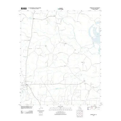 2012 Marion East2012 Print · USGSUnion Parish settlements and resource lands are shown here as they appeared in the early twenty-first century. Genealogists and local historians can trace rural roads to family landmarks and community sites like Saint Pauls Cem, the Marion Gas Field, and Fish Lake.
 - 2012 Map of Fish Lake, 2012 Print
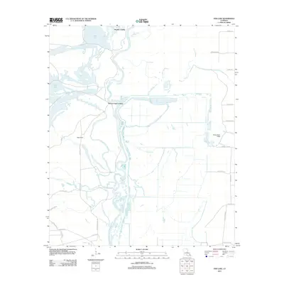 2012 Fish Lake2012 Print · USGSThe Ouachita River floodplain in the early 2010s reveals a traditional river-and-bayou landscape defined by seasonal water and historic landings. Researchers can locate remote river access points like Thirteen Points Landing and trace the winding paths of Possum Bayou and Shiloh Cr.
Showing maps 1-25 of 132
Top cities of Union Parish
- Farmerville historical maps
- Bernice historical maps
- Marion historical maps
- Spearsville historical maps
- Lillie historical maps
Frequently asked questions
- What are the different types of historical maps available for Union Parish?
- What is the oldest map of Union Parish?
- Where can I purchase historical maps of Union Parish for my home or office?
- Where can I download high-res historical maps of Union Parish?
- Are there historical topographic maps available for Union Parish?
- Is there historical aerial imagery available for Union Parish?
- Where are historical maps of Union Parish sourced from?