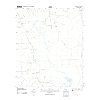
2012 Map of Lockhart
USGS Topo · Published 2012About this map
The Bayou de Loutre meanders through this landscape on the Louisiana-Arkansas border, anchoring a region defined by rural settlements and local industry. Near the southern edge, Lockhart serves as a primary hub of activity, while the small community of Pleasant Grove sits further north along the road network. The map reveals the deep roots of the area through its numerous burial grounds, including Olive Branch Cem, Bethlehem Cem, and Golden Cem, providing essential points of reference for genealogical research. The presence of the Hibank Oil Field in the north indicates the region's historical reliance on natural resources. Waterways like Tenmile Cr, Mill Cr, and Hibank Cr segment the timbered terrain, which is crisscrossed by family-named roads such as CF Davis Rd and Rashia Rd.
Find a feature on this map
46 named features on this map. Tap any name to fly to it.
Don’t see what you’re looking for? This feature index may not catch every label — zoom into the map to look around manually.
Map Details
Editions of this 2012 Lockhart Map
This is the sole edition of this map. No revisions or reprints were ever made.
Other maps of this area

1927 · El Dorado
USGS Topo · 1:62,500

1930 · El Dorado
USGS Topo · 1:62,500

1933 · Strong
USGS Topo · 1:62,500

1937 · Strong
USGS Topo · 1:62,500

1939 · Strong
USGS Topo · 1:62,500

1951 · Bernice
USGS Topo · 1:62,500

1951 · El Dorado
USGS Topo · 1:62,500

1952 · Farmerville
USGS Topo · 1:62,500

1953 · El Dorado
USGS Topo · 1:250,000

1955 · Shreveport
USGS Topo · 1:250,000