Old Maps of Zona, Louisiana for Hiking & Exploration
Hike through history with 16 historic maps of Zona. Explore old trails, ghost towns, and forgotten backroads — perfect for outdoor adventurers and local explorers.
- Rediscover forgotten places: Map out old mining camps, roads, and footpaths that no longer exist on modern maps.
- Layer with modern tools: Combine with LiDAR or satellite views to plan hikes through historical terrain.
- Made for exploration: Popular among hikers, overlanders, and local history lovers.
Use these maps to find adventure and explore the hidden past of Zona.
Zona, LA maps
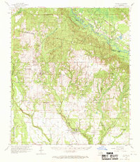
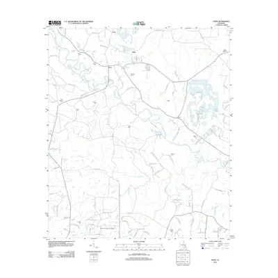
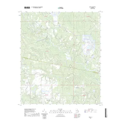
(16)- 1939 Map of Zona
 1939 Zona1939 Print · USGSThe borderlands of Washington and St. Tammany Parishes are captured here in the late 1930s as a landscape of river-bottom farms and small settlements. Researchers can locate family landmarks like Magee Cem, Union Grove Sch, and the Airway Beacon near Enon.
 - 1954 Map of Folsom, 1958 Print
 1954 Folsom1958 Print · USGSLouisiana's northshore parishes come alive in the mid-1950s, revealing a landscape of winding river prongs and small rural settlements. Genealogists can trace family roots through numerous sites like Magee Cem, Fivemile Still Cem, and the Folsom Rosenwald Sch.
 - 1954 Map of Baton Rouge, 1974 Print
 1954 Baton Rouge1974 Print · USGSSoutheast Louisiana in the mid-fifties is captured here during a period of transition for its river and rail economies. Researchers can trace the path of the Mississippi River and find landmarks like the Bonnet Carre Spillway and Bayou Plaquemine.2 unique versions available
 - 1956 Map of Baton Rouge
 1956 Baton Rouge1956 Print · USGSSouth Louisiana at the height of the mid-century oil boom shows a landscape of river oxbows and rising industry. Researchers can trace family roots through river towns like Scotlandville or locate early industrial sites and Oil wells near Lake Maurepas.
 - 1958 Map of Folsom, 1959 Print
 1958 Folsom1959 Print · USGSSt. Tammany and Washington Parishes are shown in the late fifties as a landscape of rural churches, schools, and family cemeteries. Genealogists and historians can trace family locations through sites like Fivemile Still Cem, the Folsom Rosenwald Sch, and the St Gertrude Convent.2 unique versions available
 - 1961 Map of Baton Rouge, 1966 Print
 1961 Baton Rouge1966 Print · USGSSoutheastern Louisiana in the early sixties remains a landscape of deep river bends and sprawling coastal lakes. Genealogists and historians can trace the rail-and-river economy through landmarks like Free-Nigger Point, Donaldsonville, and the Illinois Central Railroad.
 - 1962 Map of Baton Rouge
 1962 Baton Rouge1962 Print · USGSSouth Louisiana in the early sixties reveals a landscape of river-bend parishes and emerging interstate corridors. Genealogists and historians can trace family roots through historic river towns like Donaldsonville and Plaquemine, or follow the path of the Illinois Central Railroad through the swamp basins.
 - 1976 Map of Folsom NE, 1977 Print
 1976 Folsom NE1977 Print · USGSThe rural timberlands and river bottoms of Washington Parish are captured here in the mid-1970s just as land-use patterns were shifting. You can trace the small community of Enon and the dramatic meanders of the Bogue and Chitto river system.
 - 1983 Map of Amite
 1983 Amite1983 Print · USGSThe Florida Parishes and southern Mississippi are captured here in the early 1980s, centered on the Illinois Central Gulf rail corridor. Genealogists and historians can trace family-named sites like the Camp Moore Confederate Cem, Magnolia Ch, and the Idlewild Plantation (State University).
 - 1983 Map of Enon, 1984 Print
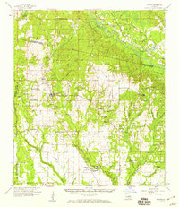
 1983 Enon1984 Print · USGSSoutheastern Louisiana in the early 1980s reveals a landscape of family-named cemeteries and creek-side settlements. Genealogists can trace rural family roots at Magee Cem and Adams Cem or locate the historic Enon Lookout Tower.
 - 2012 Map of Enon, 2012 Print
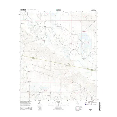
 2012 Enon2012 Print · USGSCovers Zona, including Enon, Willis, and other nearby areas
 - 2015 Map of Enon, 2015 Print
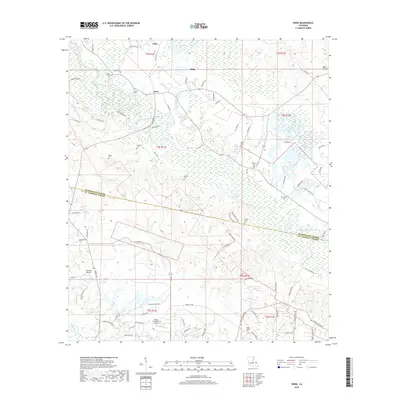
 2015 Enon2015 Print · USGSCovers Zona, including Enon, Willis, and other nearby areas
 - 2018 Map of Enon, 2018 Print
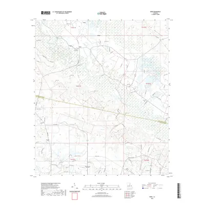
 2018 Enon2018 Print · USGSCovers Zona, including Enon, Willis, and other nearby areas
 - 2020 Map of Enon, 2020 Print
 2020 Enon2020 Print · USGSCovers Zona, including Enon, Willis, and other nearby areas
 - 2023 Map of Enon, 2023 Print
 2023 Enon2023 Print · USGSCovers Zona, including Enon, Willis, and other nearby areas
 - 2024 Map of Enon, 2024 Print
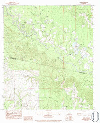
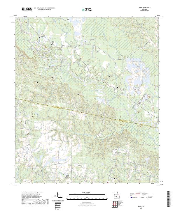 2024 Enon2024 Print · USGSIn the rural reaches of Washington Parish today, this survey documents a landscape where traditional creek-side settlements meet modern aviation. Genealogists can trace family lines through Magee Cem, Cordelia Cem, and Enon Baptist Church Cem along the Bogue Chitto.
End of results
Showing maps 1-16 of 16
Top cities near Zona
Frequently asked questions
- What are the different types of historical maps available for Zona?
- What is the oldest map of Zona?
- Where can I purchase historical maps of Zona for my home or office?
- Where can I download high-res historical maps of Zona?
- Are there historical topographic maps available for Zona?
- Is there historical aerial imagery available for Zona?
- Where are historical maps of Zona sourced from?