Old Maps of Yellow Pine, Louisiana for Academic Research
Study the evolution of Yellow Pine with 13 high-resolution historic maps. Whether you're teaching, researching, or modeling changes in land use, these maps provide essential visual documentation of urban, environmental, and geographic change.
- Analyze long-term change: Track patterns in development, transportation, and natural features.
- Ideal for environmental or urban studies: Support academic projects with primary historical map data.
- Use in the classroom or lab: Educators and researchers rely on these maps to bring historical context to life.
These maps are a powerful tool for teaching, research, and visualizing how Yellow Pine has changed over the decades.
Yellow Pine, LA maps
(13)- 1947 Map of Ringgold
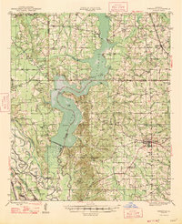 1947 Ringgold1947 Print · USGSNorthwestern Louisiana comes to life in the 1940s, centered on the growing town of Ringgold and the expansive waters of LAKE BISTINEAU. Trace local roots through rural landmarks like the NEW SALT WORKS, St Johns Ch, and the Ogden Spur railroad line.
 - 1955 Map of Shreveport
 1955 Shreveport1955 Print · USGSNorthern Louisiana in the mid-fifties is captured here as a landscape of military bases, vast oil fields, and burgeoning college towns. Genealogists and historians can trace the rail-and-river economy through the Monroe Gas Field, Grambling College, and Barksdale Air Force Base.3 unique versions available
 - 1956 Map of Shreveport
 1956 Shreveport1956 Print · USGSNorthern Louisiana during the mid-fifties presents a complex landscape of booming oil fields and strategic military installations. Genealogists and historians can trace the infrastructure of the Monroe Gas Field and family-named locales from Cotton Valley to Jonesboro.
 - 1956 Map of Ringgold, 1957 Print
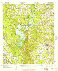 1956 Ringgold1957 Print · USGSThe Lake Bistineau region of northern Louisiana flourished in the mid-fifties as a hub of timber, gas extraction, and lakeside recreation. Genealogists and local historians can trace family-named landmarks such as Peggys Island, St Pauls Cem & Ch, and the settlement of Woodardville.2 unique versions available
 - 1972 Map of Ringgold, 1974 Print
 1972 Ringgold1974 Print · USGSThe Louisiana parishes of Bossier, Webster, and Bienville are shown here in the early 1970s as industrial gas fields and lakeside recreation shaped the land. Genealogists can locate several local burial sites including Tooke Cem and Gilmer Cem, or trace the rail lines of the Kansas City Southern.
 - 1972 Map of Heflin, 1974 Print
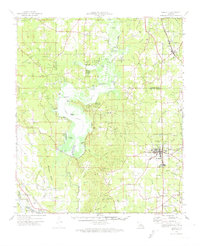
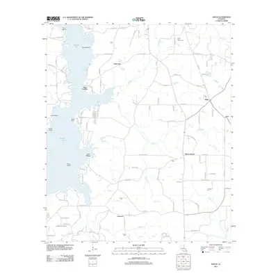
 1972 Heflin1974 Print · USGSNorthwest Louisiana in the early seventies shows a landscape shaped by the waters of the lake and the reach of the rail. Genealogists and researchers can trace community roots at Heflin, Yellow Pine, and rural landmarks like Tomlinson Cem or Carter Chapel.
 - 1984 Map of Shreveport
 1984 Shreveport1984 Print · USGSNorthern Louisiana at the peak of the 1980s reveals a landscape of massive water management projects and Cold War military hubs. Trace the rail lines of the Kansas City Southern Ry past Barksdale Air Force Base and the high ground of Driskill Mountain.2 unique versions available
 - 1985 Map of Shreveport South
 1985 Shreveport South1985 Print · USGSNorthwest Louisiana in the mid-eighties shows a landscape defined by the Red River and a transition from urban centers to deep timberland. Researchers can trace the rail-and-river economy through landmarks like Barksdale Air Force Base, the Sligo Oil and Gas Field, and Lake Bistineau.2 unique versions available
 - 2012 Map of Heflin, 2012 Print
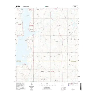
 2012 Heflin2012 Print · USGSCovers Yellow Pine, including Heflin, Swift, and other nearby areas
 - 2015 Map of Heflin, 2015 Print
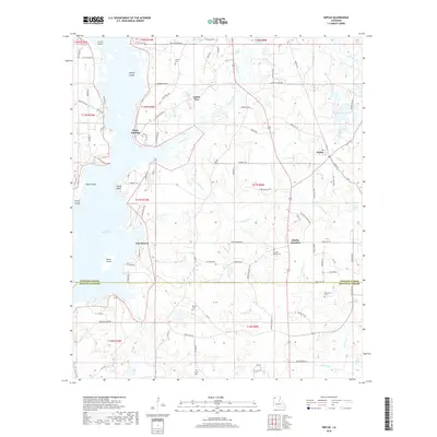
 2015 Heflin2015 Print · USGSCovers Yellow Pine, including Heflin, Swift, and other nearby areas
 - 2018 Map of Heflin, 2018 Print
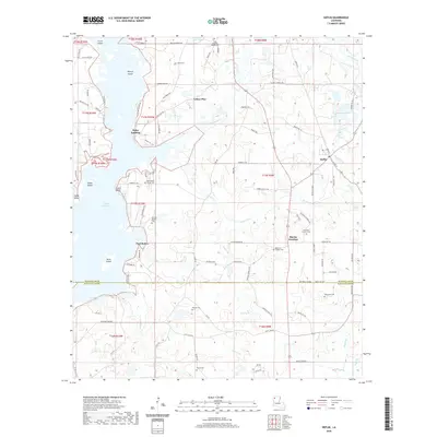
 2018 Heflin2018 Print · USGSCovers Yellow Pine, including Heflin, Swift, and other nearby areas
 - 2020 Map of Heflin, 2020 Print
 2020 Heflin2020 Print · USGSCovers Yellow Pine, including Heflin, Swift, and other nearby areas
 - 2024 Map of Heflin, 2024 Print
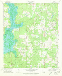
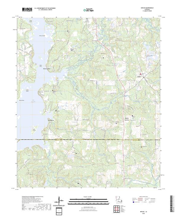 2024 Heflin2024 Print · USGSHeflin and the eastern reaches of Lake Bistineau are captured here in the early twenty-first century, showing the rural crossroads and landings of northwest Louisiana. Researchers can locate family landmarks like Mercer Marker Cem, Port Boliver, and the site of Petes Ferry.
End of results
Showing maps 1-13 of 13
Top cities near Yellow Pine
- Minden historical maps
- Haughton historical maps
- Ringgold historical maps
- Sibley historical maps
- Doyline historical maps
- Dubberly historical maps
See more
Frequently asked questions
- What are the different types of historical maps available for Yellow Pine?
- What is the oldest map of Yellow Pine?
- Where can I purchase historical maps of Yellow Pine for my home or office?
- Where can I download high-res historical maps of Yellow Pine?
- Are there historical topographic maps available for Yellow Pine?
- Is there historical aerial imagery available for Yellow Pine?
- Where are historical maps of Yellow Pine sourced from?