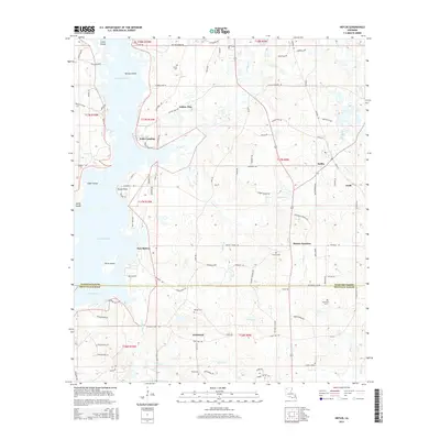
2015 Map of Heflin
USGS Topo · Published 2015About this map
Lake Bistineau dominates the western landscape of this Louisiana interior, its waters interrupted by numerous landforms including Nancys Island, Snake Island, and Birds Island. Along the shoreline, small points like Gusta Point and Noles Landing provide access to the complex waterway where Toulon Bayou enters from the south. The terrain transition between the lake and the agricultural lands to the east is marked by several small settlements including Yellow Pine and Port Boliver.
Find a feature on this map
112 named features on this map. Tap any name to fly to it.
Don’t see what you’re looking for? This feature index may not catch every label — zoom into the map to look around manually.
Map Details
Editions of this 2015 Heflin Map
This is the sole edition of this map. No revisions or reprints were ever made.
Other maps of this area

1941 · Bossier Point
USGS Topo · 1:31,680

1947 · Ringgold
USGS Topo · 1:62,500

1947 · Minden
USGS Topo · 1:62,500

1948 · Jamestown
USGS Topo · 1:62,500

1949 · Jamestown
USGS Topo · 1:62,500

1949 · Minden
USGS Topo · 1:62,500

1949 · Gibsland
USGS Topo · 1:62,500

1950 · Gibsland
USGS Topo · 1:62,500

1955 · Shreveport
USGS Topo · 1:250,000

1956 · Shreveport
USGS Topo · 1:250,000