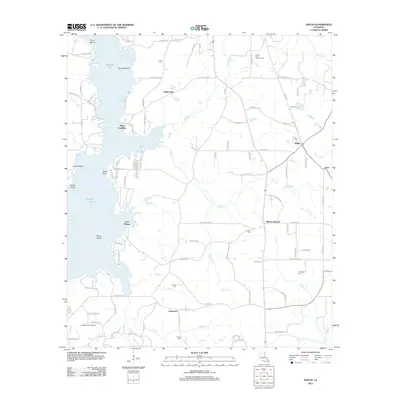
2012 Map of Heflin
USGS Topo · Published 2012About this map
The town of Heflin and the surrounding Webster Parish landscape are defined by the convergence of agricultural routes and the energy industry in the early 21st century. Industrial activity is prominent through the Sibley Gas and Oil Field and Lake Bistineau Gas Field, highlighting the region's economic reliance on natural resources. The western edge is dominated by the sprawling waters of Tadpole Lake, dotted with features like Nancys Island and Gusta Point. This topography reflects a complex interface between managed timberlands and the natural wetlands of the Bayou Dorcheat system.
Find a feature on this map
106 named features on this map. Tap any name to fly to it.
Don’t see what you’re looking for? This feature index may not catch every label — zoom into the map to look around manually.
Map Details
Editions of this 2012 Heflin Map
This is the sole edition of this map. No revisions or reprints were ever made.
Other maps of this area

1941 · Bossier Point
USGS Topo · 1:31,680

1947 · Ringgold
USGS Topo · 1:62,500

1947 · Minden
USGS Topo · 1:62,500

1948 · Jamestown
USGS Topo · 1:62,500

1949 · Jamestown
USGS Topo · 1:62,500

1949 · Minden
USGS Topo · 1:62,500

1949 · Gibsland
USGS Topo · 1:62,500

1950 · Gibsland
USGS Topo · 1:62,500

1955 · Shreveport
USGS Topo · 1:250,000

1956 · Shreveport
USGS Topo · 1:250,000