2000s (21st Century) Maps of Livermore, Maine
Explore 20 historic maps of Livermore from the 2000s (21st Century). These maps offer a rare glimpse into what life looked like during the 2000s — showing old roads, neighborhoods, homes, and landmarks that have changed or disappeared over time.
Whether you're researching your family's past, planning a metal detecting trip, or studying how Livermore's landscape evolved across the 2000s, these high-resolution maps are a powerful tool for exploring the history of this region.
- Focus on a specific era: All maps on this page are from the 2000s, giving you a focused view of this time period.
- See what’s changed: Compare century-old streets, trails, and buildings to today's modern landscape using overlays and satellite layers.
- Research with precision: Use these maps for genealogy, historical research, land use analysis, or educational projects.
- View, download, or print: Maps are fully viewable online in high resolution, and can be downloaded or printed for your own records.
Start exploring Livermore's history through authentic maps from the 2000s. This is your window into the past.
Livermore, ME maps
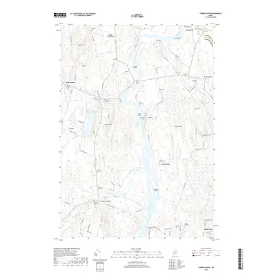
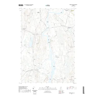
(20)- 2011 Map of Turner Center, 2011 Print
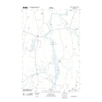 2011 Turner Center2011 Print · USGSCovers Livermore, including Turner, Greene, and other nearby areas
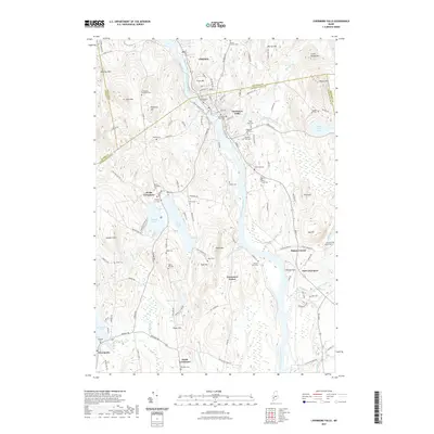
 - 2011 Map of Livermore Falls, 2011 Print
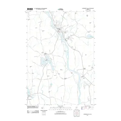 2011 Livermore Falls2011 Print · USGSCovers Livermore, including Jay, Livermore Falls, and other nearby areas
 - 2011 Map of Canton, 2011 Print
 2011 Canton2011 Print · USGSCovers Livermore, including Dixfield, Peru, and other nearby areas
 - 2011 Map of Buckfield, 2011 Print
 2011 Buckfield2011 Print · USGSCovers Livermore, including Turner, Buckfield, and other nearby areas
 - 2014 Map of Buckfield, 2014 Print
 2014 Buckfield2014 Print · USGSCovers Livermore, including Turner, Buckfield, and other nearby areas
 - 2014 Map of Canton, 2014 Print
 2014 Canton2014 Print · USGSCovers Livermore, including Dixfield, Peru, and other nearby areas
 - 2014 Map of Turner Center, 2014 Print
 2014 Turner Center2014 Print · USGSCovers Livermore, including Turner, Greene, and other nearby areas
 - 2014 Map of Livermore Falls, 2014 Print
 2014 Livermore Falls2014 Print · USGSCovers Livermore, including Jay, Livermore Falls, and other nearby areas
 - 2018 Map of Buckfield, 2018 Print
 2018 Buckfield2018 Print · USGSCovers Livermore, including Turner, Buckfield, and other nearby areas
 - 2018 Map of Livermore Falls, 2018 Print
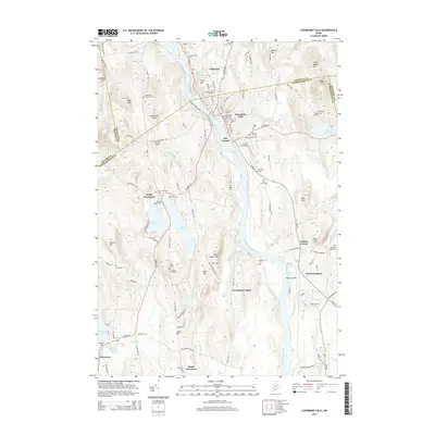
 2018 Livermore Falls2018 Print · USGSCovers Livermore, including Jay, Livermore Falls, and other nearby areas
 - 2018 Map of Turner Center, 2018 Print
 2018 Turner Center2018 Print · USGSCovers Livermore, including Turner, Greene, and other nearby areas
 - 2018 Map of Canton, 2018 Print
 2018 Canton2018 Print · USGSCovers Livermore, including Dixfield, Peru, and other nearby areas
 - 2021 Map of Buckfield, 2021 Print
 2021 Buckfield2021 Print · USGSCovers Livermore, including Turner, Buckfield, and other nearby areas
 - 2021 Map of Livermore Falls, 2021 Print
 2021 Livermore Falls2021 Print · USGSCovers Livermore, including Jay, Livermore Falls, and other nearby areas
 - 2021 Map of Canton, 2021 Print
 2021 Canton2021 Print · USGSCovers Livermore, including Dixfield, Peru, and other nearby areas
 - 2021 Map of Turner Center, 2021 Print
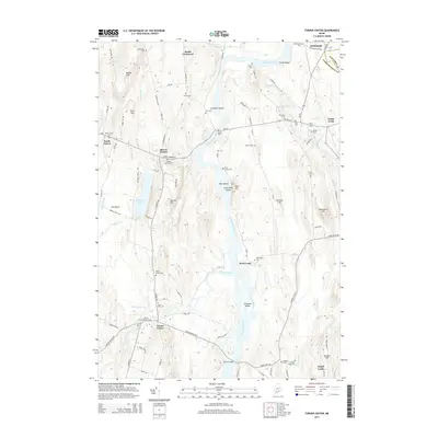
 2021 Turner Center2021 Print · USGSCovers Livermore, including Turner, Greene, and other nearby areas
 - 2024 Map of Buckfield, 2024 Print
 2024 Buckfield2024 Print · USGSMaine's interior hill country comes into focus in this contemporary survey of the Oxford and Androscoggin county line. Genealogists can locate family burial plots such as Harlow Family Cem and Jackson Cem near the banks of Bear Pond and the Nezinscot River.
 - 2024 Map of Livermore Falls, 2024 Print
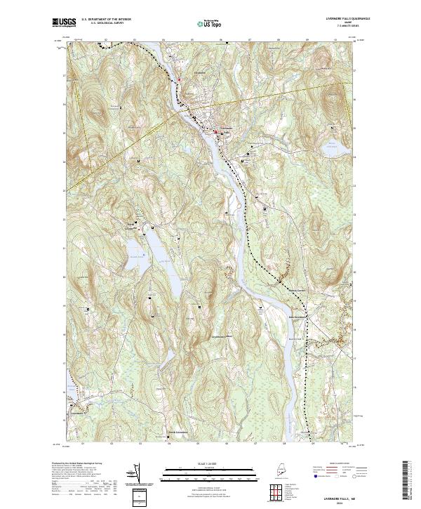 2024 Livermore Falls2024 Print · USGSThe Androscoggin River valley of central Maine is captured here in modern detail, showing the enduring layout of riverfront towns and upland farmsteads. Family historians can locate dozens of burial sites like Treat Memorial Cem and Lakeside Cem alongside landmarks like Bowman Field.
 - 2024 Map of Canton, 2024 Print
 2024 Canton2024 Print · USGSOxford County, Maine, is shown in this recent survey as a landscape of river bends and mountain ridges. Researchers can trace family history through numerous burial sites like Maple Grove Cem or follow the Old Railroad Grade near Canton.
 - 2024 Map of Turner Center, 2024 Print
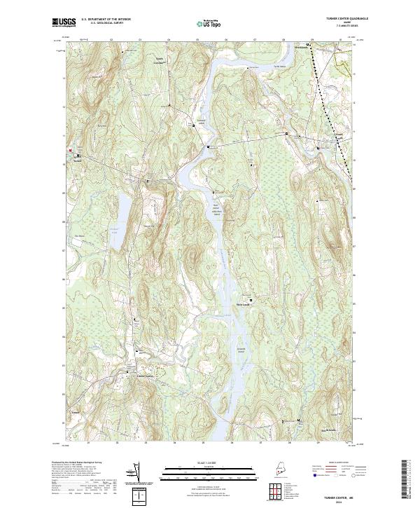 2024 Turner Center2024 Print · USGSThe river valleys of central Maine come alive in this survey, showing the interconnected hamlets of Turner Center, Stricklands, and South Leeds. Genealogists and historians can trace family plots at Quaker Ridge Cem and follow the old path of Merrills Mill Rd.
End of results
Showing maps 1-20 of 20
Top cities near Livermore
- Auburn historical maps
- Farmington historical maps
- Winthrop historical maps
- Turner historical maps
- Paris historical maps
- Jay historical maps
See more
Top neighborhoods of Livermore
Frequently asked questions
- What are the different types of historical maps available for Livermore?
- What is the oldest map of Livermore?
- Where can I purchase historical maps of Livermore for my home or office?
- Where can I download high-res historical maps of Livermore?
- Are there historical topographic maps available for Livermore?
- Is there historical aerial imagery available for Livermore?
- Where are historical maps of Livermore sourced from?