2020s Maps of County, Maine
Explore 326 historic maps of County from the 2020s. These maps offer a rare glimpse into what life looked like during the 2020s — showing old roads, neighborhoods, homes, and landmarks that have changed or disappeared over time.
Whether you're researching your family's past, planning a metal detecting trip, or studying how County's landscape evolved across the 2020s, these high-resolution maps are a powerful tool for exploring the history of this region.
- Focus on a specific era: All maps on this page are from the 2020s, giving you a focused view of this time period.
- See what’s changed: Compare century-old streets, trails, and buildings to today's modern landscape using overlays and satellite layers.
- Research with precision: Use these maps for genealogy, historical research, land use analysis, or educational projects.
- View, download, or print: Maps are fully viewable online in high resolution, and can be downloaded or printed for your own records.
Start exploring County's history through authentic maps from the 2020s. This is your window into the past.
County, ME maps
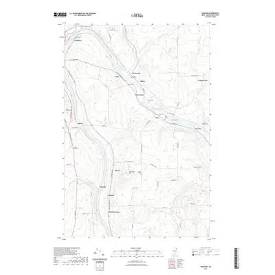
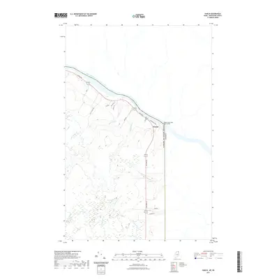
(326)- 2021 Map of Daigle, 2021 Print
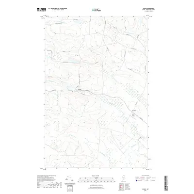 2021 Daigle2021 Print · USGSCovers County, including Fort Kent, Frenchville, and other nearby areas
 - 2021 Map of Paulette Brook, 2021 Print
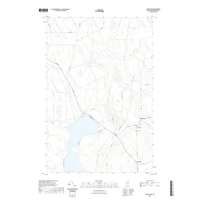
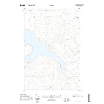 2021 Paulette Brook2021 Print · USGSCovers County, including Madawaska, Saint Agatha, and other nearby areas
 - 2021 Map of Violette Stream, 2021 Print
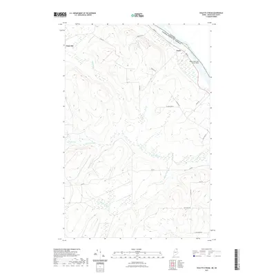 2021 Violette Stream2021 Print · USGSCovers County, including Van Buren, Grand Isle, and other nearby areas
 - 2021 Map of Fort Fairfield, 2021 Print
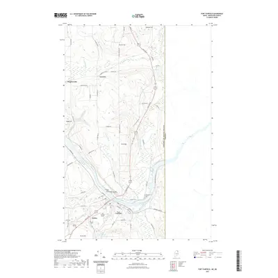 2021 Fort Fairfield2021 Print · USGSCovers County, including Fort Fairfield, Limestone, and other nearby areas
 - 2021 Map of Stockholm, 2021 Print
 2021 Stockholm2021 Print · USGSCovers County, including New Sweden, Stockholm, and other nearby areas
 - 2021 Map of Houlton South, 2021 Print
 2021 Houlton South2021 Print · USGSCovers County, including Houlton, Hodgdon, and other nearby areas
 - 2021 Map of Goodwin, 2021 Print
 2021 Goodwin2021 Print · USGSCovers County, including Presque Isle, Caribou, and other nearby areas
 - 2021 Map of Haynesville, 2021 Print
 2021 Haynesville2021 Print · USGSCovers County, including Amity, Weston, and other nearby areas
 - 2021 Map of Hamlin, 2021 Print
 2021 Hamlin2021 Print · USGSCovers County, including Caswell, Hamlin, and other nearby areas
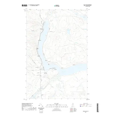
 - 2021 Map of Square Lake West, 2021 Print
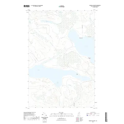 2021 Square Lake West2021 Print · USGSCovers County, including Square Lake, New Canada, and other nearby areas
 - 2021 Map of Saint Francis, 2021 Print
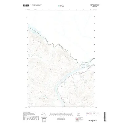 2021 Saint Francis2021 Print · USGSCovers County, including Saint Francis, Allagash, and other nearby areas
 - 2021 Map of Westfield, 2021 Print
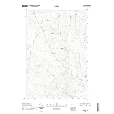 2021 Westfield2021 Print · USGSCovers County, including Presque Isle, Mars Hill, and other nearby areas
 - 2021 Map of Eagle Lake, 2021 Print
 2021 Eagle Lake2021 Print · USGSCovers County, including Eagle Lake, Wallagrass, and other nearby areas
 - 2021 Map of Doyle Ridge, 2021 Print
 2021 Doyle Ridge2021 Print · USGSCovers County, including Connor Township, Caswell, and other nearby areas
 - 2021 Map of North Amity, 2021 Print
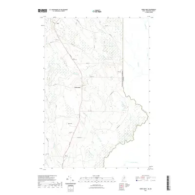 2021 North Amity2021 Print · USGSCovers County, including Amity, Cary Township, and other nearby areas
 - 2021 Map of Saint Agatha, 2021 Print
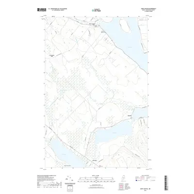 2021 Saint Agatha2021 Print · USGSCovers County, including Madawaska, Saint Agatha, and other nearby areas
 - 2021 Map of Harvey, 2021 Print
 2021 Harvey2021 Print · USGSCovers County, including Littleton, Monticello, and other nearby areas
 - 2021 Map of Easton, 2021 Print
 2021 Easton2021 Print · USGSCovers County, including Presque Isle, Fort Fairfield, and other nearby areas
 - 2021 Map of Easton Center, 2021 Print
 2021 Easton Center2021 Print · USGSCovers County, including Fort Fairfield, Easton, and other nearby areas
 - 2021 Map of Square Lake East, 2021 Print
 2021 Square Lake East2021 Print · USGSCovers County, including Square Lake, Westmanland, and other nearby areas
 - 2021 Map of Linneus, 2021 Print
 2021 Linneus2021 Print · USGSCovers County, including Houlton, Hodgdon, and other nearby areas
 - 2021 Map of Mars Hill, 2021 Print
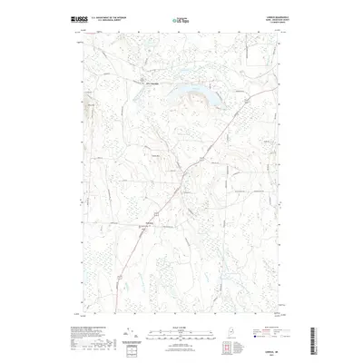
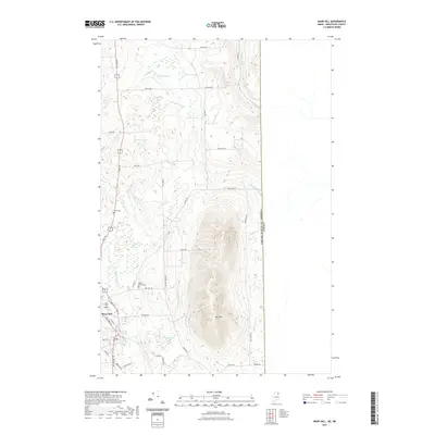 2021 Mars Hill2021 Print · USGSCovers County, including Mars Hill, Easton, and other nearby areas
 - 2021 Map of Pelletier Brook Lakes, 2021 Print
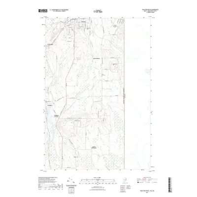
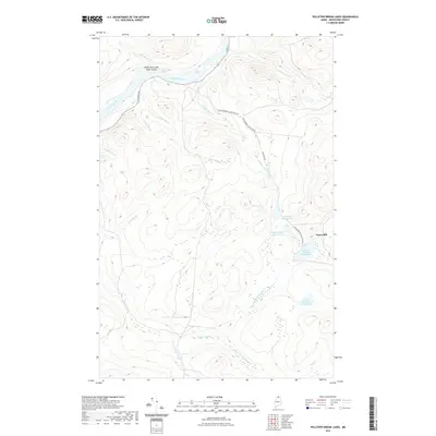 2021 Pelletier Brook Lakes2021 Print · USGSCovers County, including Saint Francis, Allagash, and other nearby areas
 - 2021 Map of Danforth, 2021 Print
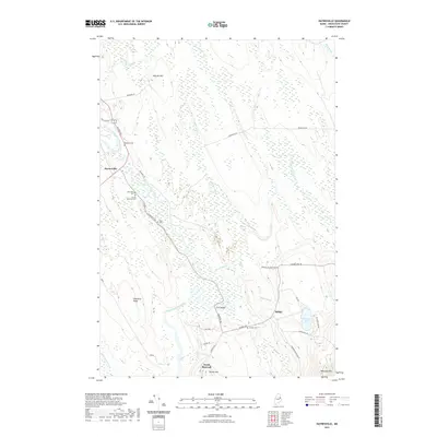
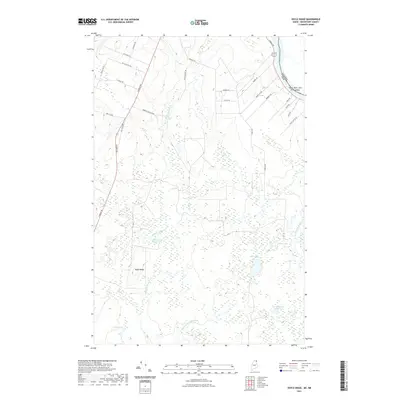
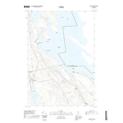 2021 Danforth2021 Print · USGSCovers County, including Danforth, Weston, and other nearby areas
 - 2021 Map of Picard Brook, 2021 Print
 2021 Picard Brook2021 Print · USGSCovers County, including New Sweden, Connor Township, and other nearby areas
Showing maps 1-25 of 326
Top cities of County
- Presque Isle historical maps
- Caribou historical maps
- Houlton historical maps
- Fort Kent historical maps
- Fort Fairfield historical maps
- Madawaska historical maps
See more
Frequently asked questions
- What are the different types of historical maps available for County?
- What is the oldest map of County?
- Where can I purchase historical maps of County for my home or office?
- Where can I download high-res historical maps of County?
- Are there historical topographic maps available for County?
- Is there historical aerial imagery available for County?
- Where are historical maps of County sourced from?