1980s Maps of County, Maine
Explore 161 historic maps of County from the 1980s. These maps offer a rare glimpse into what life looked like during the 1980s — showing old roads, neighborhoods, homes, and landmarks that have changed or disappeared over time.
Whether you're researching your family's past, planning a metal detecting trip, or studying how County's landscape evolved across the 1980s, these high-resolution maps are a powerful tool for exploring the history of this region.
- Focus on a specific era: All maps on this page are from the 1980s, giving you a focused view of this time period.
- See what’s changed: Compare century-old streets, trails, and buildings to today's modern landscape using overlays and satellite layers.
- Research with precision: Use these maps for genealogy, historical research, land use analysis, or educational projects.
- View, download, or print: Maps are fully viewable online in high resolution, and can be downloaded or printed for your own records.
Start exploring County's history through authentic maps from the 1980s. This is your window into the past.
County, ME maps
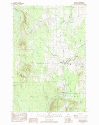
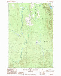
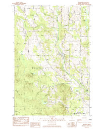
(161)- 1981 Map of Brooklin
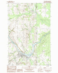
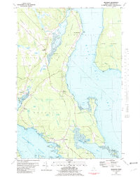 1981 Brooklin1981 Print · USGSCoastal Hancock County is captured here in the early 1980s, showcasing the traditional maritime settlements between Blue Hill Bay and Eggemoggin Reach. Genealogists can trace family names at Pine Grove Cemetery and Freethy Cemetery or explore the docks at Center Harbor.
 - 1984 Map of Easton
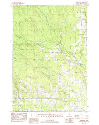
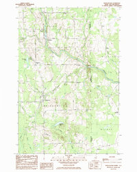
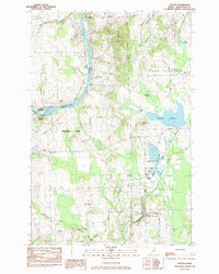 1984 Easton1984 Print · USGSAroostook County's rail and river economy is on full display in the early eighties as the Bangor and Aroostook lines connect rural hubs. Trace the layout of settlements like Easton Station, Parkhurst, and Phair alongside landmarks like Gould Memorial Hospital.
 - 1984 Map of Harvey
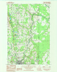
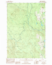 1984 Harvey1984 Print · USGSAroostook County was a network of timberlands and isolated settlements in the early eighties. Genealogists and historians can trace local landmarks like The Lake Road Ch near Conroy Lake or the small community at Harvey.
 - 1984 Map of Easton Center
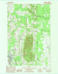
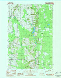 1984 Easton Center1984 Print · USGSThe Aroostook County borderlands in the early 1980s reveal a quiet landscape of cross-border commerce and rail-connected hamlets. Genealogists and local historians can trace family locations near Easton Center, Mt Shilo Cem, and the Bangor and Aroostook line.
 - 1984 Map of Mapleton
 1984 Mapleton1984 Print · USGSMid-century Aroostook County comes to life as a landscape of timber and rail where the Aroostook River meets the hills. Genealogists and historians can trace the Bangor and Aroostook railroad line through Mapleton and Chapman, or locate family sites near Castle Hill Cem.
 - 1984 Map of Squa Pan Lake East
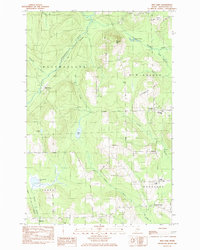
 1984 Squa Pan Lake East1984 Print · USGSAroostook County's timber and rail landscape is well-preserved here in the early 1980s, centered on the heights of Squa Pan Mountain. Local historians can trace the Bangor and Aroostook railroad past Walker and identify old shore sites like Husdn Landing.
 - 1984 Map of Twin Brook
 1984 Twin Brook1984 Print · USGSAroostook County's timberlands and rural townships are captured in the early 1980s, showcasing the intersection of small-town borders and northern Maine's waterways. Researchers can locate family landmarks like Ludlow Cem and trace the drainage of Webster Brook through Hammond.
 - 1984 Map of Houlton South
 1984 Houlton South1984 Print · USGSAroostook County during the early 1980s reveals a cross-border landscape defined by international transit and small farming settlements. Researchers can trace family history through Jackins Settlement and Carys Mills, or follow the path of the Canadian Pacific railroad near Union Corners.2 unique versions available
 - 1984 Map of Echo Lake
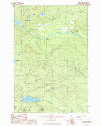
 1984 Echo Lake1984 Print · USGSThe Aroostook County highlands come into sharp focus in the mid-1980s, centered on the rugged peaks of the state's first park. Researchers can trace land divisions across Westfield and Chapman, or locate remote spots like Deadmans Corner and Echo Lake.
 - 1984 Map of Monticello
 1984 Monticello1984 Print · USGSAroostook County and the New Brunswick borderland are detailed in the early 1980s, showcasing the rural landscape surrounding the Monticello settlement. Genealogists and historians can locate the Wellington Sch, the local Jewell Cem, and landmarks like the Covered Bridge.
 - 1984 Map of Presque Isle
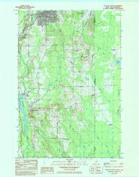
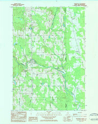
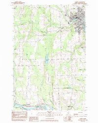
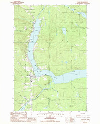
 1984 Presque Isle1984 Print · USGSPresque Isle and the Aroostook River valley are captured here in the early 1980s, showcasing the region's agricultural and academic heart. Researchers can trace historic sites like St Marys Cemetery and the Northern Maine Fairgrounds alongside the BANGOR AND AROOSTOOK rail lines.
 - 1984 Map of Packard Lake
 1984 Packard Lake1984 Print · USGSAroostook County's timberlands and river forks are captured here in the mid-1980s. Local researchers can trace old parcel lines like the Cox Patent and explore the surroundings of Packard Lake, Nineteen Mtn, and the Advent Swamp.
 - 1984 Map of Westfield
 1984 Westfield1984 Print · USGSAroostook County in the early eighties was a landscape of rail-connected settlements and timberland. Genealogists and historians can trace the Bangor and Aroostook rail line, Marshall Cem, and many remote water bodies like Winslow Lake.
 - 1984 Map of Linneus, 1985 Print
 1984 Linneus1985 Print · USGSSouthern Aroostook County is shown here in the mid-1980s, revealing a landscape shaped by timber roads and the winding Meduxnekeag River. Genealogists and local historians can trace family-named sites like Porter Settlement, Adams Mtn, and the roads around New Limerick.
 - 1984 Map of Caribou, 1985 Print
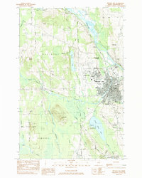
 1984 Caribou1985 Print · USGSAroostook County's river-and-rail landscape is captured here in the mid-1980s, centered on the regional hub of Caribou. Genealogists and local historians can trace family-named sites such as Jacobs and Crouseville, alongside landmarks like Evergreen Cem and the Court House.
 - 1984 Map of Washburn, 1985 Print
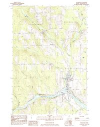 1984 Washburn1985 Print · USGSAroostook County agriculture and river life are on display here in the mid-1980s, centered on the village of Washburn. Trace the legacy of the Bangor and Aroostook rail line through rural outposts like Perham, Bugbee, and North Wade.
 - 1984 Map of Fort Fairfield, 1985 Print
 1984 Fort Fairfield1985 Print · USGSThe Aroostook River valley during the early eighties shows a bustling international border region defined by rail and river commerce. Genealogists can trace family names at Riverside Cem and St Denis Ch or locate the old Turner Settlement.
 - 1984 Map of Bridgewater, 1985 Print
 1984 Bridgewater1985 Print · USGSThe Maine-New Brunswick border comes to life in the early 1980s, documenting the international boundary between Aroostook County and Carleton County. Researchers can trace the Bangor and Aroostook rail line through Bridgewater or locate rural landmarks like Smith Cem and the Fish Hatchery.
 - 1984 Map of Houlton North, 1985 Print
 1984 Houlton North1985 Print · USGSThe Maine-New Brunswick borderlands come into focus in this mid-1980s survey of the HOULTON area and its surrounding agricultural townships. Researchers can trace family roots through Evergreen Cem and Irish Settlement, or locate vanished landmarks like the Drive-in Theater.
 - 1984 Map of Mars Hill, 1985 Print
 1984 Mars Hill1985 Print · USGSThe Maine-New Brunswick borderlands are captured here in the early 1980s, centered on the towering ridge of MARS HILL. Researchers can trace local history through the BANGOR AND AROOSTOOK rail line and sites like Kings Grove Cem, Listerville, and the Mackay Wing Sch.
 - 1984 Map of Goodwin, 1985 Print
 1984 Goodwin1985 Print · USGSAroostook County's river-and-rail corridor is captured here in the early 1980s, showing the intersection of international rail lines and local agriculture. Researchers can trace family history through several burial sites like Walton Cem or explore sites like the Loran Coast Guard Station and Grimes Mill.
 - 1985 Map of Oakfield
 1985 Oakfield1985 Print · USGSAroostook County in the 1980s displays a balance between the timber-and-rail industry and the protected wilderness of the North Woods. Genealogists and local historians can trace family-named hubs like Smyrna Mills, Island Falls, and Knowles Corner along the Bangor and Aroostook railroad line.
 - 1985 Map of Mud Lake
 1985 Mud Lake1985 Print · USGSIn the mid-1980s, the agricultural and timber lands of Aroostook County remained centered on small township hubs and rail corridors. Genealogists can locate family landmarks like Woodland Center, the Jemtland Cem, and the New Sweden Consolidated Sch.
 - 1985 Map of Carr Pond, 1986 Print
 1985 Carr Pond1986 Print · USGSThe remote Aroostook County backcountry of the mid-1980s is captured here, showing a landscape defined by timber roads and glacial waters. Local historians can trace early access points like High Landing or locate remote camps near Carr Pond and Fish River Lake.
 - 1985 Map of Eagle Lake, 1986 Print
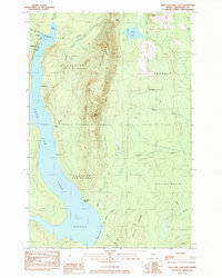
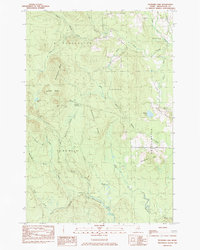
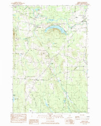
 1985 Eagle Lake1986 Print · USGSAroostook County's lake country is captured in the 1980s, showing the vital water connection between Eagle Lake and the Fish River. Researchers can trace local landmarks like the Plaisted village center, the Winterville Plantation boundary, and the Thoroughfare waterway.
Showing maps 1-25 of 161
Top cities of County
- Presque Isle historical maps
- Caribou historical maps
- Houlton historical maps
- Fort Kent historical maps
- Fort Fairfield historical maps
- Madawaska historical maps
See more
Frequently asked questions
- What are the different types of historical maps available for County?
- What is the oldest map of County?
- Where can I purchase historical maps of County for my home or office?
- Where can I download high-res historical maps of County?
- Are there historical topographic maps available for County?
- Is there historical aerial imagery available for County?
- Where are historical maps of County sourced from?