2010s Maps of County, Maine
Explore 483 historic maps of County from the 2010s. These maps offer a rare glimpse into what life looked like during the 2010s — showing old roads, neighborhoods, homes, and landmarks that have changed or disappeared over time.
Whether you're researching your family's past, planning a metal detecting trip, or studying how County's landscape evolved across the 2010s, these high-resolution maps are a powerful tool for exploring the history of this region.
- Focus on a specific era: All maps on this page are from the 2010s, giving you a focused view of this time period.
- See what’s changed: Compare century-old streets, trails, and buildings to today's modern landscape using overlays and satellite layers.
- Research with precision: Use these maps for genealogy, historical research, land use analysis, or educational projects.
- View, download, or print: Maps are fully viewable online in high resolution, and can be downloaded or printed for your own records.
Start exploring County's history through authentic maps from the 2010s. This is your window into the past.
County, ME maps
(483)- 2011 Map of Doyle Ridge, 2011 Print
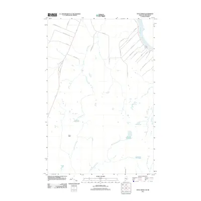 2011 Doyle Ridge2011 Print · USGSThe Maine-New Brunswick borderlands appear in detail during the early twenty-first century, centered on the heights of Doyle Ridge. Genealogists and local historians can trace family landholdings along roads like Albert Cyr Rd and Scott Ayotte Rd near the Saint John River.
 - 2011 Map of Van Buren, 2011 Print
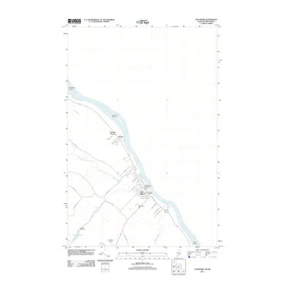 2011 Van Buren2011 Print · USGSLife along the international border in northern Maine is centered on the Saint John River and the town of Van Buren in this 2011 survey. Local researchers can trace family roots through the settlements of Keegan and Kennedy Terrace or locate landmarks like the Van Buren Seaplane Base.
 - 2011 Map of Hamlin, 2011 Print
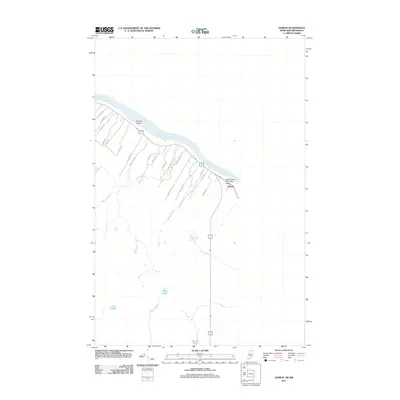 2011 Hamlin2011 Print · USGSThe northern Maine borderlands along the Saint John River are captured here in the early twenty-first century. Genealogists and local historians can trace family-named routes like St Pierre Rd and Armand Morrow Rd near the community of Hamlin.
 - 2011 Map of Danforth, 2011 Print
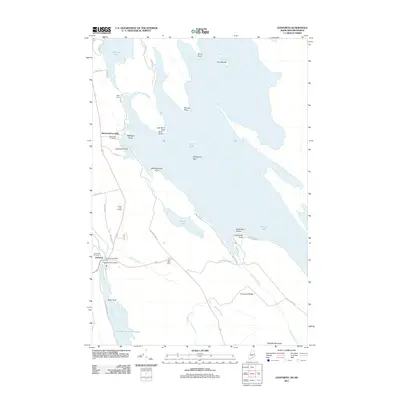 2011 Danforth2011 Print · USGSDanforth and the shores of Grand Lake are documented here in the early twenty-first century, showcasing a landscape defined by water and woods. Local historians can trace the community through sites like the Grand Lake Grange, Danforth Cemetery, and the Crooked Brook Dam.
 - 2011 Map of Haynesville, 2011 Print
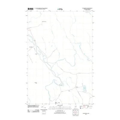 2011 Haynesville2011 Print · USGSSouthern Aroostook County is shown here in the early twenty-first century, centered on the winding Mattawamkeag River and its rural settlements. Genealogists and local historians can trace family locations near Riverside Cemetery, Selden, and the Ferry Bridge.
 - 2011 Map of North Amity, 2011 Print
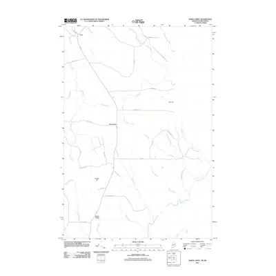 2011 North Amity2011 Print · USGSMaine's eastern borderland near New Brunswick comes into focus in this early twenty-first-century topographic survey. Genealogists and local historians can trace family-named routes like Horseback Rd and land landmarks near North Amity and Spring Hill.
 - 2011 Map of Jimmey Mountain, 2011 Print
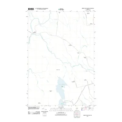 2011 Jimmey Mountain2011 Print · USGSThe borderlands of Aroostook and Washington counties are documented here in the early twenty-first century, showing a landscape defined by timber ridges and glacial lakes. Genealogists can locate the Irish Settlement and Trout Brook Cemetery near the shores of Lower Hot Brook Lake.
 - 2011 Map of Ten Mile Lake, 2011 Print
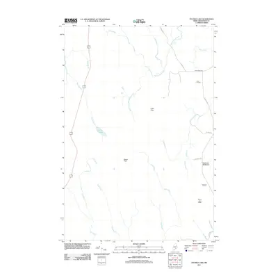 2011 Ten Mile Lake2011 Print · USGSAroostook County's rural character is preserved in this early twenty-first-century survey of the north woods. Genealogists and local historians can trace the foundations of Wilcox Settlement and Estabrook Settlement and their respective cemeteries.
 - 2011 Map of Orient, 2011 Print
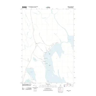 2011 Orient2011 Print · USGSThe Maine-New Brunswick borderlands appear as a network of interconnected lakes and forest roads in this modern survey. Genealogists can locate Peters Cove Cemetery while shoreline researchers trace landmarks like Caribou Point and Halfmoon Island on Grand Lake.
 - 2011 Map of Saint John, 2011 Print
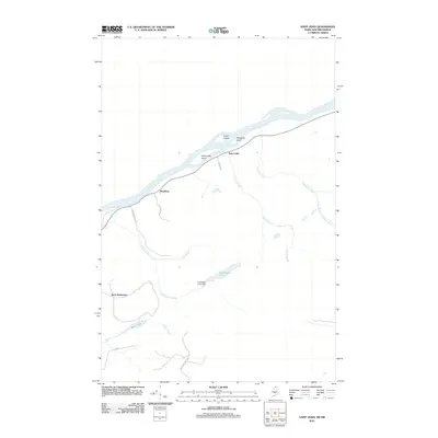 2011 Saint John2011 Print · USGSThe northern Maine borderlands along the Saint John River come into focus in this early 21st-century survey. Trace the river-valley settlements of Saint John and Bradbury, or locate inland features like Back Settlement and Hunnewell Lake Dam.
 - 2011 Map of Madawaska, 2011 Print
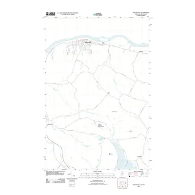 2011 Madawaska2011 Print · USGSMadawaska and the northern Maine borderlands are shown here in the early twenty-first century as the region manages its river-based industry and aviation needs. Researchers can trace family-named crossroads and sidings like Dionne Corner, Fournier, and Cleveland Siding.
 - 2011 Map of McLean Mountain, 2011 Print
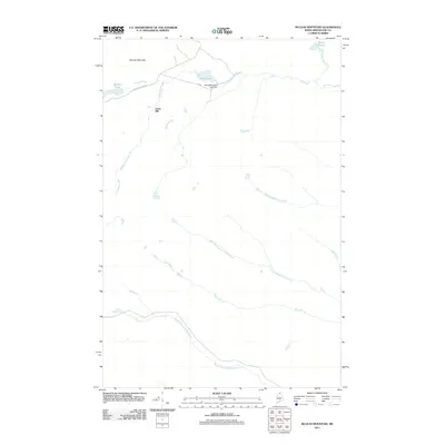 2011 McLean Mountain2011 Print · USGSAroostook County's northern woods and waterways are captured in detail here during the early twenty-first century. Researchers can trace the timber and water history of the region through landmarks like Jones Mill, the Third Wallagrass Lake Dam, and McLean Mountain.
 - 2011 Map of Daigle, 2011 Print
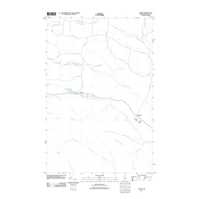 2011 Daigle2011 Print · USGSAroostook County's timberlands and French-Acadian settlements are shown here at the start of the 2010s. Researchers can trace family-named roads like Pelletier Rd and locate aviation history at Sunrise Farms Airport or the La Change Landing Field.
 - 2011 Map of Paulette Brook, 2011 Print
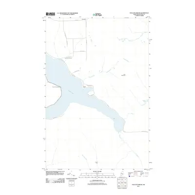 2011 Paulette Brook2011 Print · USGSNorthern Maine lakeside life in the early 2010s is defined by the waters of Long Lake and its surrounding woodlands. Researchers can trace local landmarks like the Long Lake Seaplane Base, Birch Point Golf Course, and seasonal outposts at Francks Camp.
 - 2011 Map of Saint Francis, 2011 Print
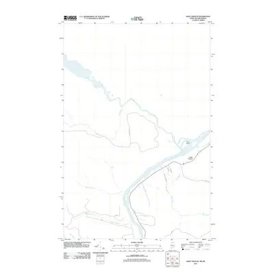 2011 Saint Francis2011 Print · USGSThe northern Maine border at the turn of the millennium is captured here, centered on the riverfront community of Saint Francis. Genealogists and historians can trace local land use through features like Nadeau Farm Rd, Grew Island, and the many tributaries of the Saint John River.
 - 2011 Map of Wheelock, 2011 Print
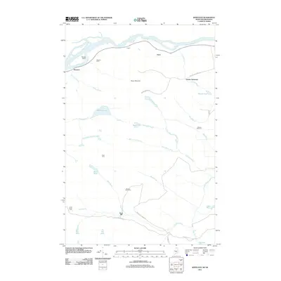 2011 Wheelock2011 Print · USGSThe northern Maine borderlands come into focus in this early 21st-century survey of the riverfront and deep timberlands. Genealogists and historians can trace family-named outposts like Violette Settlement, Belanger Settlement, and the logging history at Burnt Mill.
 - 2011 Map of Frenchville, 2011 Print
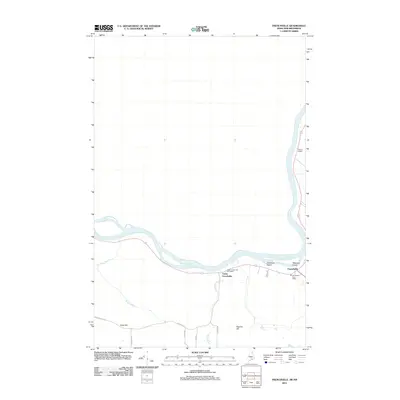 2011 Frenchville2011 Print · USGSIn the St. John Valley during the early twenty-first century, this area shows the riverside settlements and international border terrain of northern Maine. Genealogists and local historians can trace family land via Charette Hill Rd and Gagnon Rd or locate Gilman Siding near the Saint John River.
 - 2011 Map of Square Lake East, 2011 Print
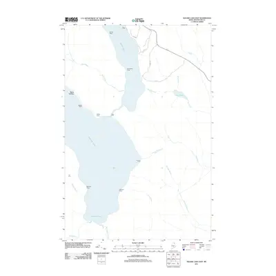 2011 Square Lake East2011 Print · USGSIn the remote Maine woods of the early twenty-first century, this map records the isolated camps and shorelines of the northern Fish River chain of lakes. Researchers can trace historic access points and seasonal outposts like Burnt Landing, Austin Camp, and The Carry.
 - 2011 Map of Fort Kent North, 2011 Print
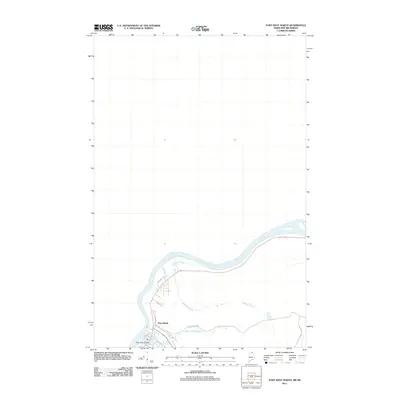 2011 Fort Kent North2011 Print · USGSFort Kent sits at the confluence of northern waters in this early 21st-century survey of the Maine border. Genealogists and local historians can trace the town's expansion toward Fish River Island and along Charette Hill Rd.
 - 2011 Map of Saint Agatha, 2011 Print
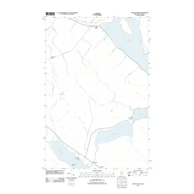 2011 Saint Agatha2011 Print · USGSUpper Aroostook County in the early twenty-first century remains a landscape of deep lakes and small rural settlements. Genealogists and historians can trace local family landmarks from Saint Agatha to Guerette, including the Saint Etroplus Cemetery and Carriveau Mill.
 - 2011 Map of Grand Isle, 2011 Print
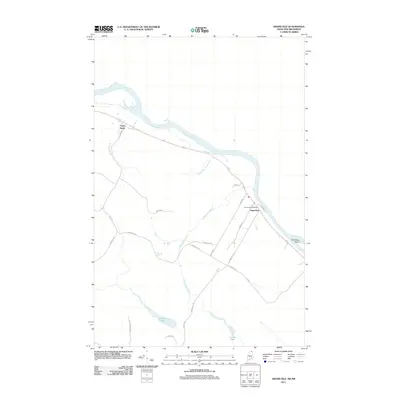 2011 Grand Isle2011 Print · USGSThe Saint John River valley in northern Maine is captured here at the start of the decade, showing the riverside settlements and interior farmlands. Genealogists can trace family-named routes like Beaulieu Rd and locate the Grand Isle Post Office.
 - 2011 Map of Stockholm, 2011 Print
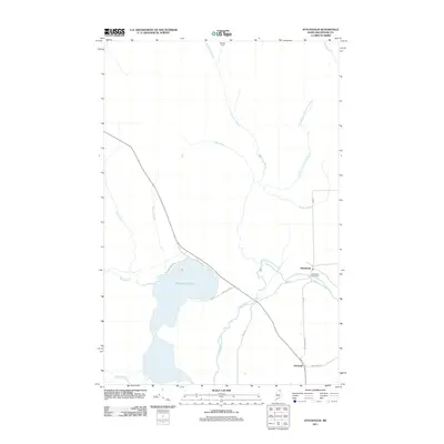 2011 Stockholm2011 Print · USGSNorthern Maine's Swedish heritage is visible in this recent survey of the Stockholm area. Researchers can trace local landmarks like the Stockholm Post Office, the waters of Madawaska Lake, and the remote outposts at Swedes Camp and Jemtland.
 - 2011 Map of Eagle Lake, 2011 Print
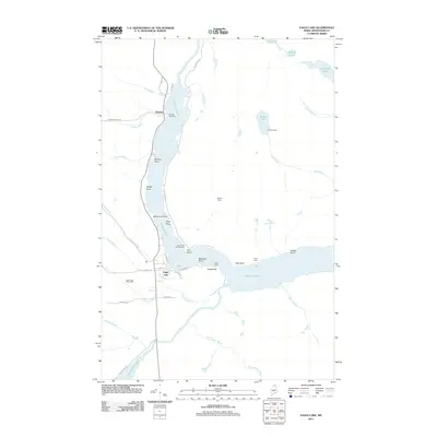 2011 Eagle Lake2011 Print · USGSAroostook County's lake country is captured here in the early twenty-first century, showing the established communities and remote camps of northern Maine. Genealogists and local historians can trace family-named landmarks and settlements from Plaisted to Eagle Lake, including Saucier Camp and Wiles Camp.
 - 2011 Map of Pelletier Brook Lakes, 2011 Print
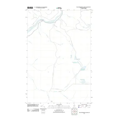 2011 Pelletier Brook Lakes2011 Print · USGSAroostook County's deep timberlands are documented here at the start of the 2010s, centered on the chain of lakes feeding the Saint John River. Researchers can locate remote northern outposts like Saucier Camp and Jones Camp, or trace the winding course of the Pelletier Brook and Wyles Brook.
 - 2011 Map of Lille, 2011 Print
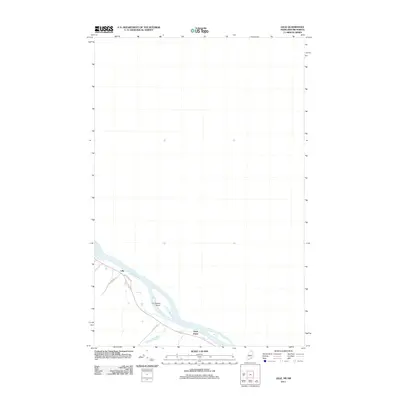 2011 Lille2011 Print · USGSThe northern Maine borderlands along the Saint John River are detailed in this 2011 survey. Researchers can trace the layout of riverside communities like Lille and Notre Dame and locate landmarks such as La Grande Island.
Showing maps 1-25 of 483
Top cities of County
- Presque Isle historical maps
- Caribou historical maps
- Houlton historical maps
- Fort Kent historical maps
- Fort Fairfield historical maps
- Madawaska historical maps
See more
Frequently asked questions
- What are the different types of historical maps available for County?
- What is the oldest map of County?
- Where can I purchase historical maps of County for my home or office?
- Where can I download high-res historical maps of County?
- Are there historical topographic maps available for County?
- Is there historical aerial imagery available for County?
- Where are historical maps of County sourced from?