Old Maps of Monument Square, Fort Kent for Hiking & Exploration
Hike through history with 11 historic maps of Monument Square. Explore old trails, ghost towns, and forgotten backroads — perfect for outdoor adventurers and local explorers.
- Rediscover forgotten places: Map out old mining camps, roads, and footpaths that no longer exist on modern maps.
- Layer with modern tools: Combine with LiDAR or satellite views to plan hikes through historical terrain.
- Made for exploration: Popular among hikers, overlanders, and local history lovers.
Use these maps to find adventure and explore the hidden past of Monument Square.
Monument Square, Fort Kent maps
(11)- 1932 Map of Fort Kent
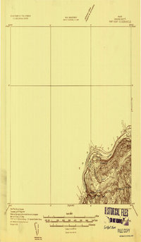 1932 Fort Kent1932 Print · USGSThe northern reaches of the Maine border are captured here during the 1930s, centering on the international river crossing at Fort Kent. Genealogists and historians can trace rail and road networks including the Bangor and Aroostook Main Line and the settlement at Daigle.4 unique versions available
 - 1935 Map of Fort Kent
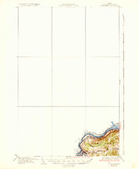 1935 Fort Kent1935 Print · USGSFort Kent and the northern Maine borderlands are captured here in the mid-1930s along the winding St John River. Genealogists and local historians can trace the specific locations of early 20th-century rural schools like Roosevelt Sch and Hillside Sch near the town of Fort Kent.3 unique versions available
 - 1962 Map of Edmundston, 1966 Print
 1962 Edmundston1966 Print · USGSThe international borderlands of northern Maine and Canada come alive here during the early sixties, centered on the river-and-rail economies of the day. Genealogists and historians can trace the paths of the Bangor and Aroostook railroad through river towns like Fort Kent and St Agatha.2 unique versions available
 - 1975 Map of Fort Kent SE, 1981 Print
 1975 Fort Kent SE1981 Print · USGSThe international border along the St John River is captured here in the mid-seventies, showing the interconnected river valley communities. Local historians and genealogists can trace the homesteads and farms surrounding Fort Kent, Clair, and Baker Brook.
 - 1985 Map of Fort Kent North, 1986 Print
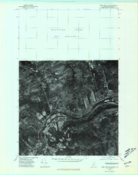
 1985 Fort Kent North1986 Print · USGSThis mid-1980s survey of the Maine-New Brunswick border captures the riverfront landscape where Fort Kent and Clair meet. Researchers can trace land divisions at Rang-Saint-Joseph, find the Public Boat Ramp, and locate islands like Turtle Island.
 - 1994 Map of Madawaska
 1994 Madawaska1994 Print · USGSThe St John Valley in the 1990s remained a unique cultural crossroads of Maine and New Brunswick, centered on the river and the rails. Genealogists and historians can trace family-named settlements like Violette Settlement or explore the shores of Eagle Lake and Long Lake.
 - 2011 Map of Fort Kent North, 2011 Print
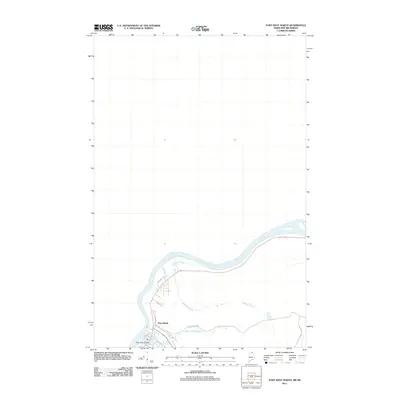 2011 Fort Kent North2011 Print · USGSCovers Monument Square, including Fort Kent, Clair, and other nearby areas
 - 2014 Map of Fort Kent North, 2014 Print
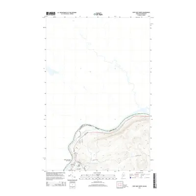 2014 Fort Kent North2014 Print · USGSCovers Monument Square, including Fort Kent, Clair, and other nearby areas
 - 2018 Map of Fort Kent North, 2018 Print
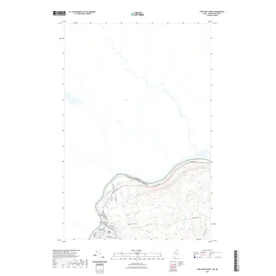
 2018 Fort Kent North2018 Print · USGSCovers Monument Square, including Fort Kent, Clair, and other nearby areas
 - 2021 Map of Fort Kent North, 2021 Print
 2021 Fort Kent North2021 Print · USGSCovers Monument Square, including Fort Kent, Clair, and other nearby areas
 - 2024 Map of Fort Kent North, 2024 Print
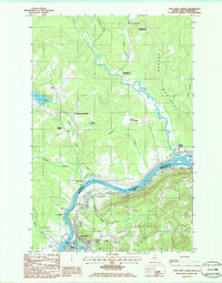
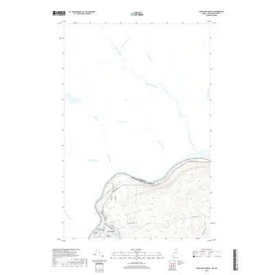
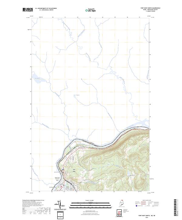 2024 Fort Kent North2024 Print · USGSFort Kent marks the international border in the northern Maine woods at a time when the river remains the central geographic feature. Local historians can trace family locations near Saint Louis Catholic Cem and the University of Maine Fort Kent.
End of results
Showing maps 1-11 of 11
Frequently asked questions
- What are the different types of historical maps available for Monument Square?
- What is the oldest map of Monument Square?
- Where can I purchase historical maps of Monument Square for my home or office?
- Where can I download high-res historical maps of Monument Square?
- Are there historical topographic maps available for Monument Square?
- Is there historical aerial imagery available for Monument Square?
- Where are historical maps of Monument Square sourced from?