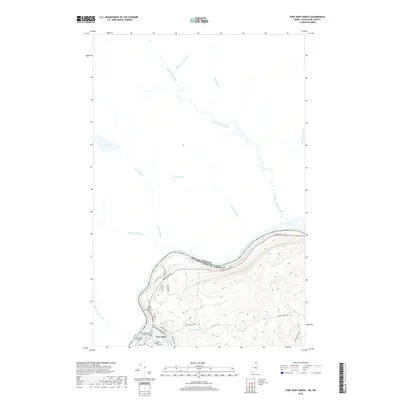
2018 Map of Fort Kent North
USGS Topo · Published 2018About this map
The Saint John River serves as a prominent international boundary, separating the United States from Canada in this northernmost region of Maine. The town of Fort Kent is the primary hub of activity, where the Fish River flows into the Saint John. This area is a crucial cultural and educational center for the St. John Valley, anchored by the Univ of Maine at Ft Kent.
Find a feature on this map
31 named features on this map. Tap any name to fly to it.
Don’t see what you’re looking for? This feature index may not catch every label — zoom into the map to look around manually.
Map Details
Editions of this 2018 Fort Kent North Map
This is the sole edition of this map. No revisions or reprints were ever made.
Other maps of this area

1927 · Square Lake
USGS Topo · 1:48,000

1928 · Eagle Lake
USGS Topo · 1:48,000

1931 · Square Lake
USGS Topo · 1:62,500

1931 · Eagle Lake
USGS Topo · 1:62,500

1932 · Frenchville
USGS Topo · 1:48,000

1932 · Fort Kent
USGS Topo · 1:48,000

1935 · Fort Kent
USGS Topo · 1:62,500

1935 · Frenchville
USGS Topo · 1:62,500

1953 · Square Lake
USGS Topo · 1:62,500

1962 · Edmundston
USGS Topo · 1:250,000