Old Maps of Houlton, Maine for Academic Research
Study the evolution of Houlton with 32 high-resolution historic maps. Whether you're teaching, researching, or modeling changes in land use, these maps provide essential visual documentation of urban, environmental, and geographic change.
- Analyze long-term change: Track patterns in development, transportation, and natural features.
- Ideal for environmental or urban studies: Support academic projects with primary historical map data.
- Use in the classroom or lab: Educators and researchers rely on these maps to bring historical context to life.
These maps are a powerful tool for teaching, research, and visualizing how Houlton has changed over the decades.
Houlton, ME maps
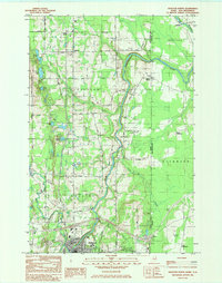
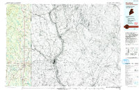
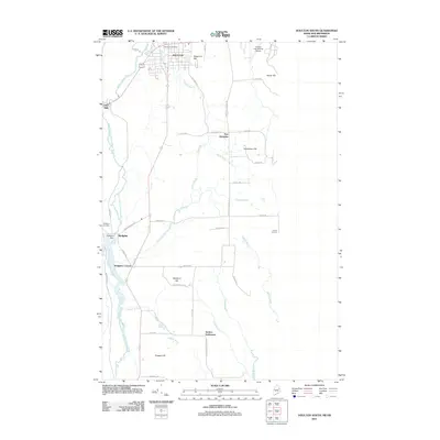
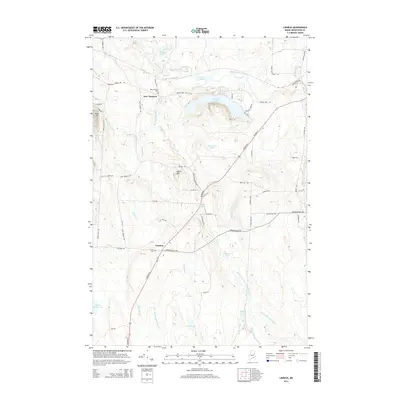
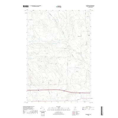
(32)- 1938 Map of Houlton
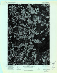
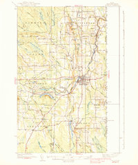 1938 Houlton1938 Print · USGSAroostook County's borderlands are captured here in the late 1930s, showing a landscape of small farming communities and international connections. Researchers can find numerous family-named schoolhouses like Haggerty Sch and trace the rail path of the Canadian Pacific near Littleton Sta.3 unique versions available
 - 1951 Map of Houlton, 1952 Print
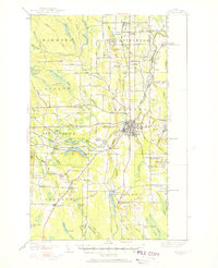 1951 Houlton1952 Print · USGSAroostook County's borderlands are captured here in the early fifties, showing the vital rail and river connections of the international boundary. Genealogists can locate family landmarks like Porter Settlement, Peoples Ch, and numerous rural schoolhouses including Rideout Sch.5 unique versions available
 - 1959 Map of Woodstock, 1975 Print
 1959 Woodstock1975 Print · USGSNorthern Maine and New Brunswick meet along the river valleys in the late fifties, showcasing an era of international rail and river commerce. Genealogists can trace family roots through border towns like Woodstock and Houlton, or along the lines of the Bangor & Aroostook railroad.
 - 1963 Map of Woodstock
 1963 Woodstock1963 Print · USGSThe Maine-New Brunswick borderlands come alive in the early sixties, showing the vital river-and-rail connection between Houlton and Woodstock. Genealogists and historians can trace the paths of the Canadian Pacific RR and locate rural communities like Stickney and Upper Kent.
 - 1975 Map of Houlton SW, 1980 Print
 1975 Houlton SW1980 Print · USGSSouthern Aroostook County is seen during the mid-seventies in this detailed orthophoto survey of Maine’s agricultural borderlands. Researchers can trace rural road networks and farmstead clearings around Linneus, New Limerick, and the banks of the Meduxnekeag River.
 - 1975 Map of Houlton NW, 1980 Print
 1975 Houlton NW1980 Print · USGSAroostook County's deep woods and agricultural clearings are preserved in this mid-seventies orthophotoquad. Researchers can trace the path of Moose Brook as it winds through a landscape defined by timber harvest patterns and rural property lines.
 - 1975 Map of Houlton NE, 1980 Print
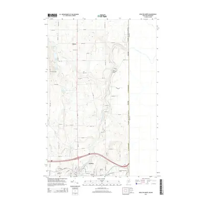
 1975 Houlton NE1980 Print · USGSAroostook County agriculture meets the Canadian border in the mid-seventies, showing the intricate patchwork of potato fields and timberlands. Researchers can trace the development of Houlton and the rural layout of Starkey Corners along the Meduxnekeag River.
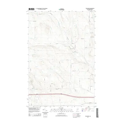
 - 1984 Map of Twin Brook
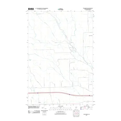
 1984 Twin Brook1984 Print · USGSAroostook County's timberlands and rural townships are captured in the early 1980s, showcasing the intersection of small-town borders and northern Maine's waterways. Researchers can locate family landmarks like Ludlow Cem and trace the drainage of Webster Brook through Hammond.
 - 1984 Map of Houlton South
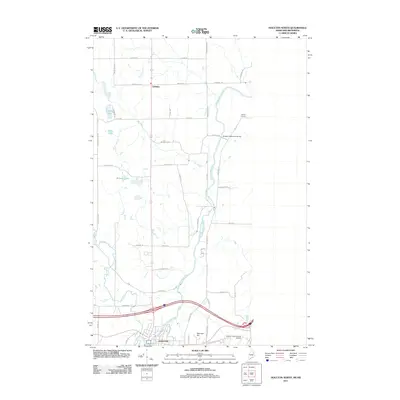
 1984 Houlton South1984 Print · USGSAroostook County during the early 1980s reveals a cross-border landscape defined by international transit and small farming settlements. Researchers can trace family history through Jackins Settlement and Carys Mills, or follow the path of the Canadian Pacific railroad near Union Corners.2 unique versions available
 - 1984 Map of Linneus, 1985 Print
 1984 Linneus1985 Print · USGSSouthern Aroostook County is shown here in the mid-1980s, revealing a landscape shaped by timber roads and the winding Meduxnekeag River. Genealogists and local historians can trace family-named sites like Porter Settlement, Adams Mtn, and the roads around New Limerick.
 - 1984 Map of Houlton North, 1985 Print
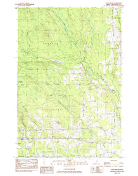
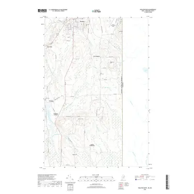
 1984 Houlton North1985 Print · USGSThe Maine-New Brunswick borderlands come into focus in this mid-1980s survey of the HOULTON area and its surrounding agricultural townships. Researchers can trace family roots through Evergreen Cem and Irish Settlement, or locate vanished landmarks like the Drive-in Theater.
 - 1993 Map of Houlton
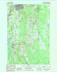
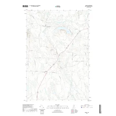
 1993 Houlton1993 Print · USGSThe Maine-New Brunswick borderlands are captured here in the early 1990s, centered on the transit and trade hub of Houlton. Genealogists and historians can trace family-named locales and crossroads like Porter Settlement, Jackson Settlement, and Bridgewater Corner.
 - 2011 Map of Twin Brook, 2011 Print
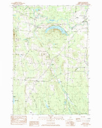
 2011 Twin Brook2011 Print · USGSCovers Houlton, including Littleton, New Limerick, and other nearby areas
 - 2011 Map of Houlton North, 2011 Print
 2011 Houlton North2011 Print · USGSCovers Houlton, including Littleton, County, and other nearby areas
 - 2011 Map of Houlton South, 2011 Print
 2011 Houlton South2011 Print · USGSCovers Houlton, including Hodgdon, Cary Township, and other nearby areas
 - 2011 Map of Linneus, 2011 Print
 2011 Linneus2011 Print · USGSCovers Houlton, including Hodgdon, Linneus, and other nearby areas
 - 2014 Map of Houlton South, 2014 Print
 2014 Houlton South2014 Print · USGSCovers Houlton, including Hodgdon, Cary Township, and other nearby areas
 - 2014 Map of Twin Brook, 2014 Print
 2014 Twin Brook2014 Print · USGSCovers Houlton, including Littleton, New Limerick, and other nearby areas
 - 2014 Map of Linneus, 2014 Print
 2014 Linneus2014 Print · USGSCovers Houlton, including Hodgdon, Linneus, and other nearby areas
 - 2014 Map of Houlton North, 2014 Print
 2014 Houlton North2014 Print · USGSCovers Houlton, including Littleton, County, and other nearby areas
 - 2018 Map of Linneus, 2018 Print
 2018 Linneus2018 Print · USGSCovers Houlton, including Hodgdon, Linneus, and other nearby areas
 - 2018 Map of Houlton South, 2018 Print
 2018 Houlton South2018 Print · USGSCovers Houlton, including Hodgdon, Cary Township, and other nearby areas
 - 2018 Map of Twin Brook, 2018 Print
 2018 Twin Brook2018 Print · USGSCovers Houlton, including Littleton, New Limerick, and other nearby areas
 - 2018 Map of Houlton North, 2018 Print
 2018 Houlton North2018 Print · USGSCovers Houlton, including Littleton, County, and other nearby areas
 - 2021 Map of Houlton South, 2021 Print
 2021 Houlton South2021 Print · USGSCovers Houlton, including Hodgdon, Cary Township, and other nearby areas
Showing maps 1-25 of 32
Top cities near Houlton
- Hodgdon historical maps
- Littleton historical maps
- Linneus historical maps
- Monticello historical maps
- Oakfield historical maps
- New Limerick historical maps
See more
Top neighborhoods of Houlton
Frequently asked questions
- What are the different types of historical maps available for Houlton?
- What is the oldest map of Houlton?
- Where can I purchase historical maps of Houlton for my home or office?
- Where can I download high-res historical maps of Houlton?
- Are there historical topographic maps available for Houlton?
- Is there historical aerial imagery available for Houlton?
- Where are historical maps of Houlton sourced from?